


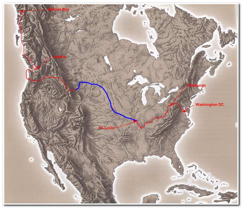
Kayaking the Missouri River
From Three Forks Montana to St. Louis Missouri
Total length 2321.5 miles
Kayaking the Missouri River is longest section of my route across North America. It follows the course of the longest river in the United States. It also plays center stage as the route followed by Lewis and Clark during their expedition of discovery, from St. Louis to the Pacific Ocean in 1804-1806.
Of course the river is much different today than it was then. Numerous dams along its length have created large lakes, where none existed in its wild state and water levels in the river are, to some extent controlled by the Army Corps of Engineers to maximize the recreation, power production and navigability of the river. Even though the Missouri ‘ain’t what it used to be’ it is still a magnificent route that leads through the mountains in western Montana, out into the rolling hills and wild White Cliffs of central Montana then out across rugged arid eastern Montana and on into North Dakota. From here a series of dams has created a lake system that crosses North Dakota, South Dakota and skirts Nebraska eventually bringing the traveler to Sioux City, Iowa. From Sioux City the river becomes a major transportation artery for barge traffic serving various ports in the mid west. For 732 miles it flows past Omaha and Kansas City then heads nearly due east across the state of Missouri where it meets the Mississippi River near St. Louis.
I traveled this route during the period 2002-2004 and utilized both kayak for the free flowing portions of the river and a flat bottomed river fishing boat for the large reservoirs and the navigable lower stretch from Sioux City to St. Louis.
To follow this route, you’ll need to start at Three Forks, Montana.