7/8 Stage 10: Cabane de Bertol – Tete Blanche – Zermatt
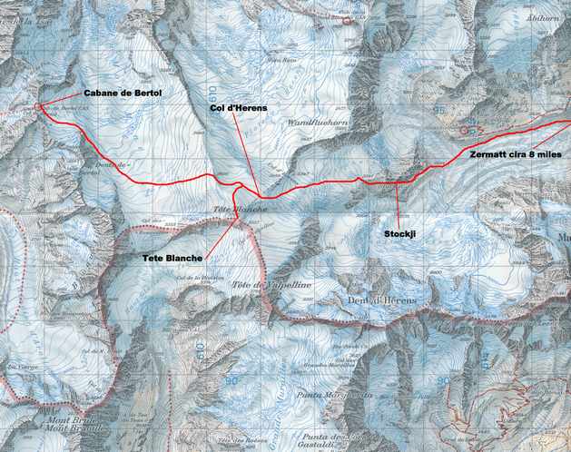
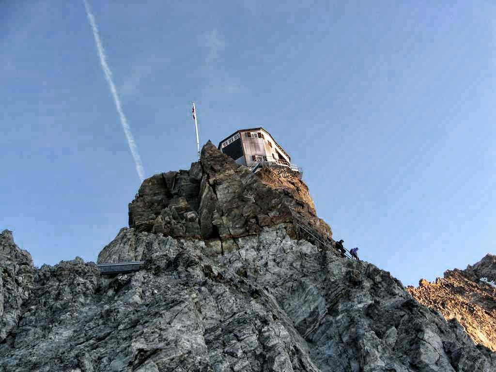
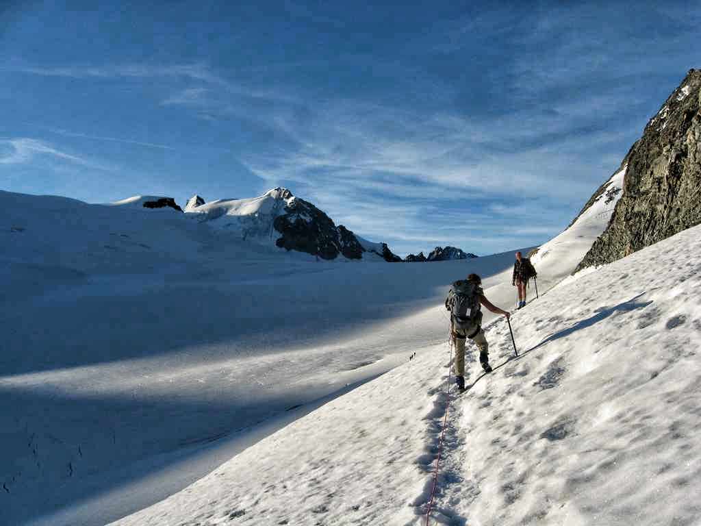
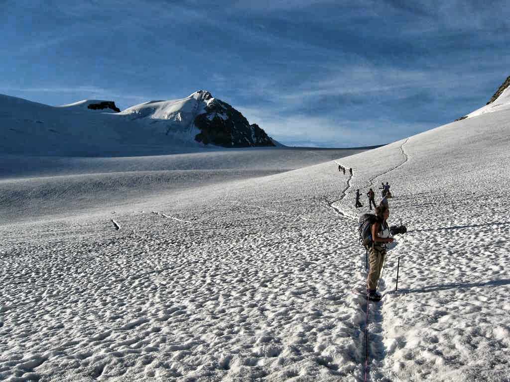
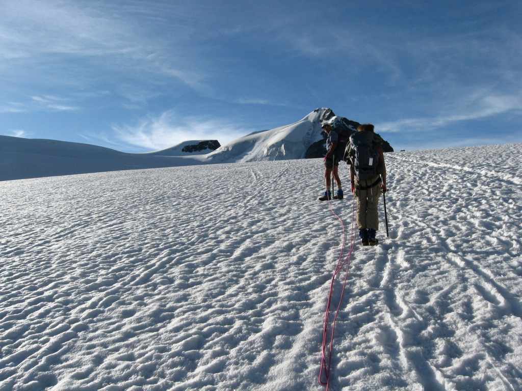
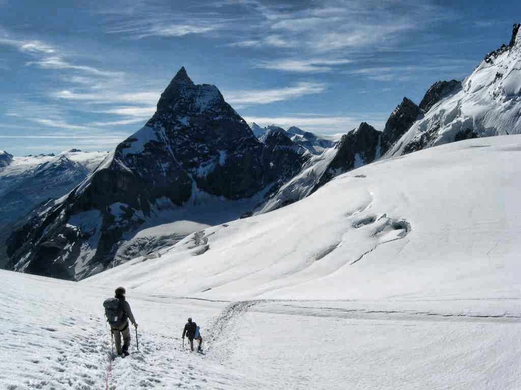
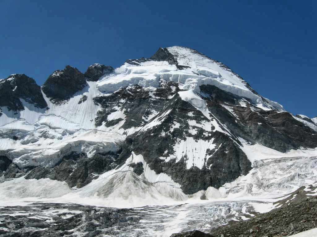
7/8 The Cabane de Bertol is in a spectacular position with great views in all directions. You enter the hut on the main floor which is the dining room with windows all around giving a panoramic view. A steep staircase leads down to the sleeping rooms below. We stayed in a dormitory room on the lower level which was a bit cave like, but it did have a window which gave us a great view of the sunset on the Dent Blanche to the northeast across the Glacier du Mont Mine and the Plateau d’Herens. After a fit night’s sleep punctuated by loud snoring we got up at 5:30a and went up the stairs to breakfast. We planned an early start again since a big part of the day would be across glaciers and through crevasse fields. We left the hut at 6:10a and descended the ladders to the snow and around to the col below the hut and set off across the Glacier de Mont Mine. We skirted around the rocky outcropping to the southeast of the hut and continued south up into the basin at the head of the glacier before turning east across the glacier and up moderate slopes to reach the broad north ridge of the Tete Blanche (circa 3550m – 11,647ft).
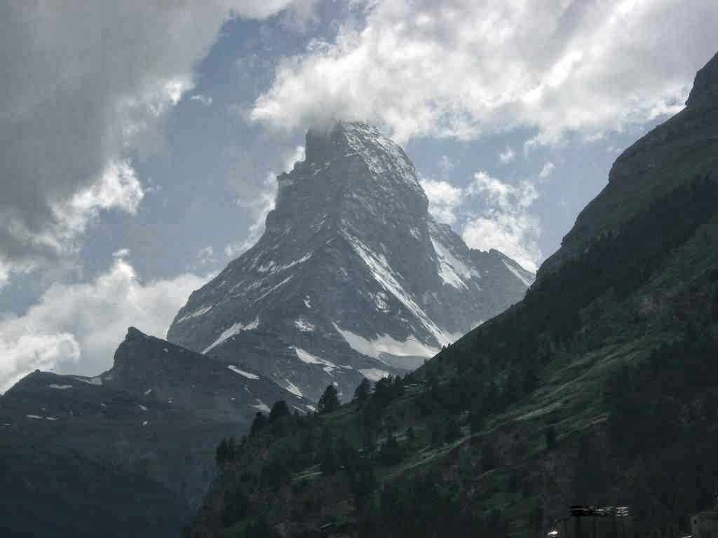
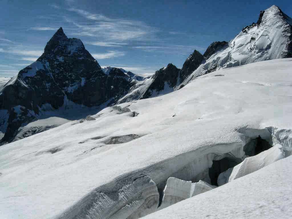
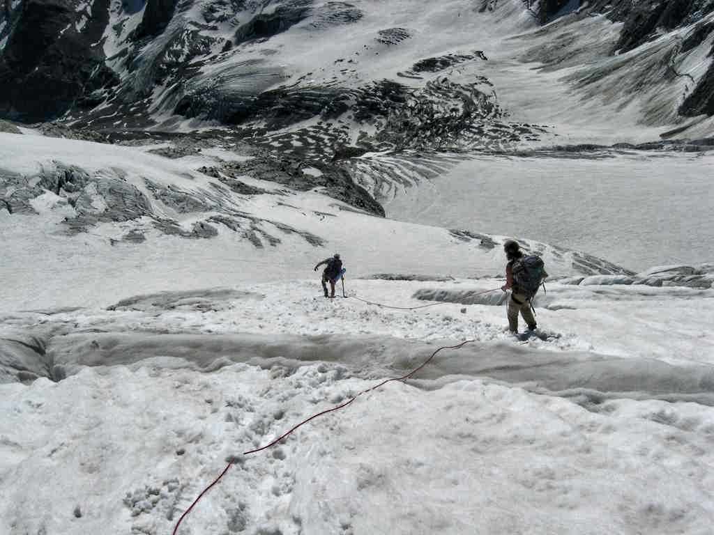
From there we made a gently rising traverse up to near the northeast ridge before turning southwest to ascend the last short slope to the top (3724m – 12,218ft) (8:50a). The view was incredible! The Dent Blanche, the Matterhorn and the Dent d’Herens dominated but the whole scene was grand. After a half hour on the summit we descended to near the Col d’Herens (3540m -11614ft) and started down the Stockji Glacier into the Zmutt valley. The Stockji Glacier started off as a pleasant snow descent but at about 3400m (11,155ft) we entered the first of several crevasse fields which were impressive and care was needed in negotiating the route down. The crevasses did provide some great photo opportunities and with a little care were fairly easy to avoid. (We did stick a leg in one or two, but nothing serious).
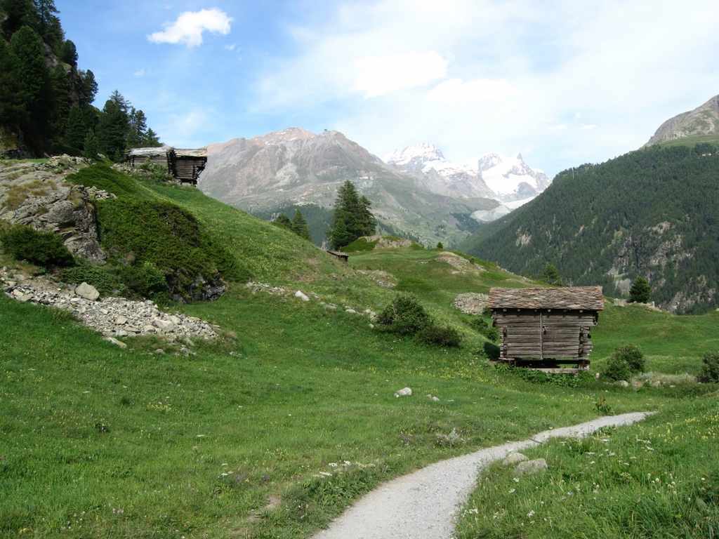
At about 3020m (9906ft) we left the glacier via a short steep snow slope and reached the trail at the upper end of the Stockji, a massive rocky outcropping between the upper Stockji Glacier and the upper reaches of the Zmutt Glacier. An airy sometimes tricky trail led around the south side of the Stockji and down to a point 2624m (8607ft) where we could cut across the Zmutt Glacier to its northern lateral moraine just below the Schonbielhutte. From this point Al found a route up the slope above the Glacier about 300 feet to the main trail leading to the hut. Katherine and I tried several different routes but were unable to find one we were comfortable with so we continued down the moraine for several miles of rock scrambling until we reached the snout of the Glacier and then across an open stretch of sandy glacial till until we reached the a road which led down the valley toward Zermatt. Al arrived shortly after we got to the road and recounted how he could look down onto the Zmutt and see us inching our way along the moraine for the past several hours. Once on the road it was a short distance down to the village of Zmutt and then another half hour into Zermatt (5:45p). We spent the next few days in Zermatt hiking around and resting at the Zermatterhof Hotel and trekking up to the Hornli Hutte on the Matterhorn.
-

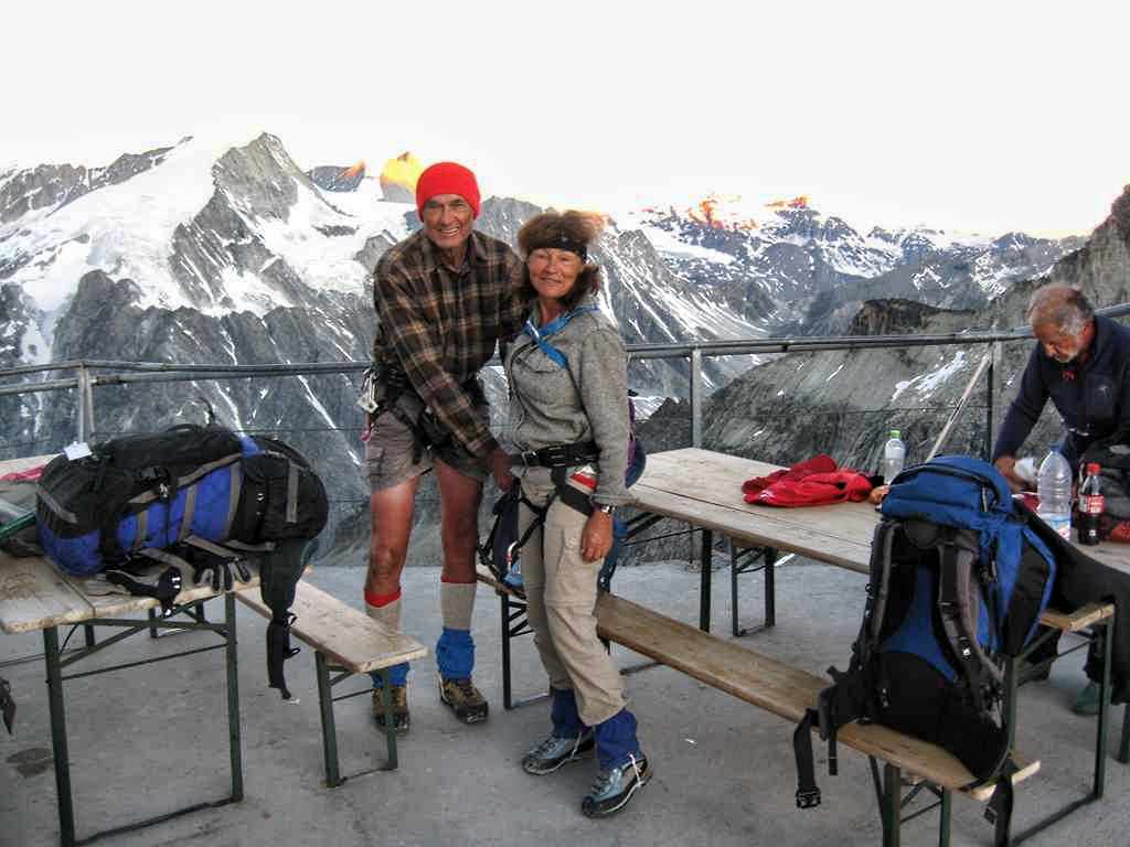
- Getting ready to leave the Cabane de Bertol for Zermatt
-
- Cabane de Bertol in the morning sun
-
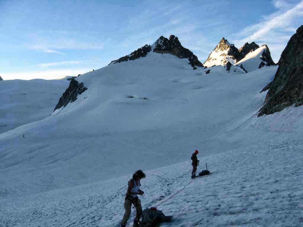
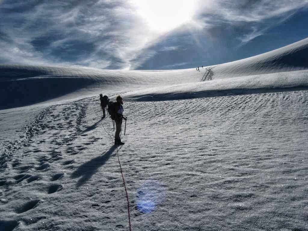
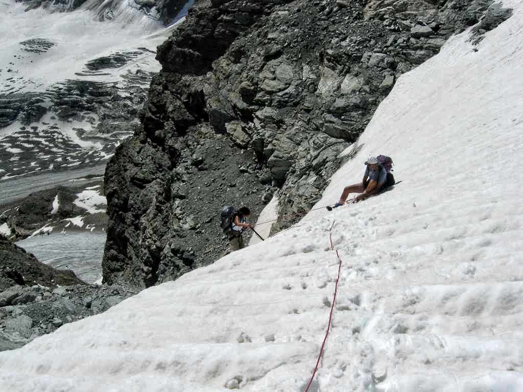
- Roping up below the Cabane de Bertol
-
- Through the crevasses on the Glacier du Mont Mine
-
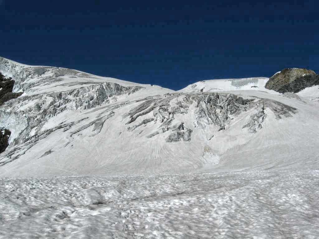
- The upper end of the Glacier du Mont Mine
-
- Nearing the north ridge of the Tete Blanche
-
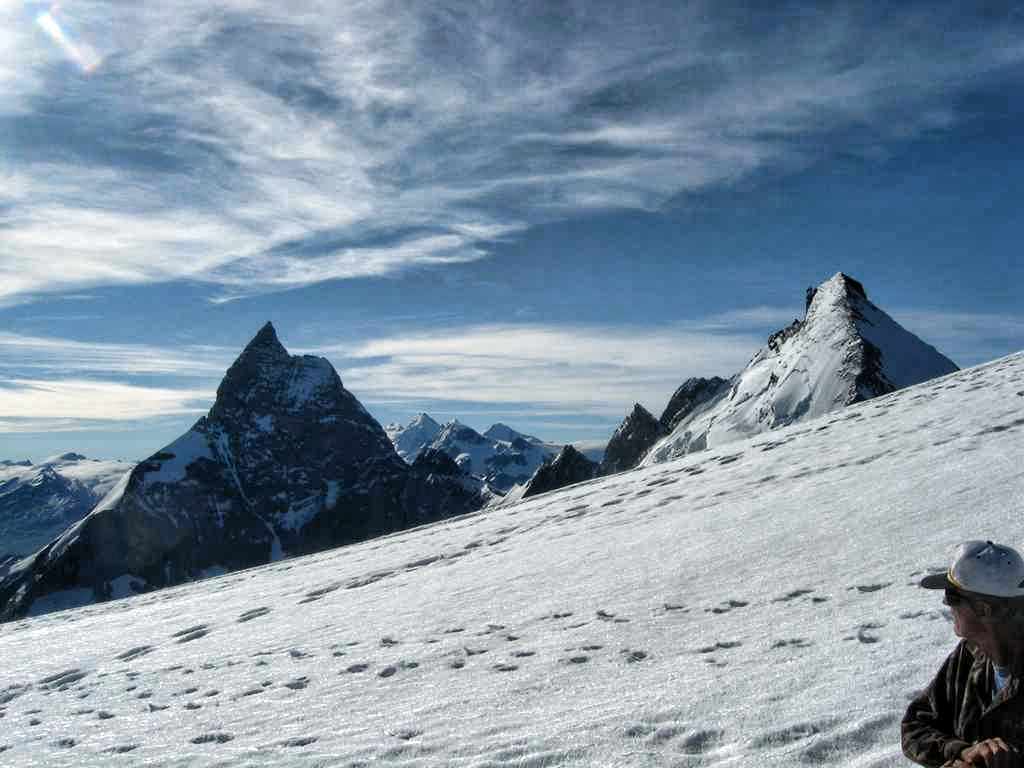
- The Matterhorn from near the summit of the Tete Blanche
-
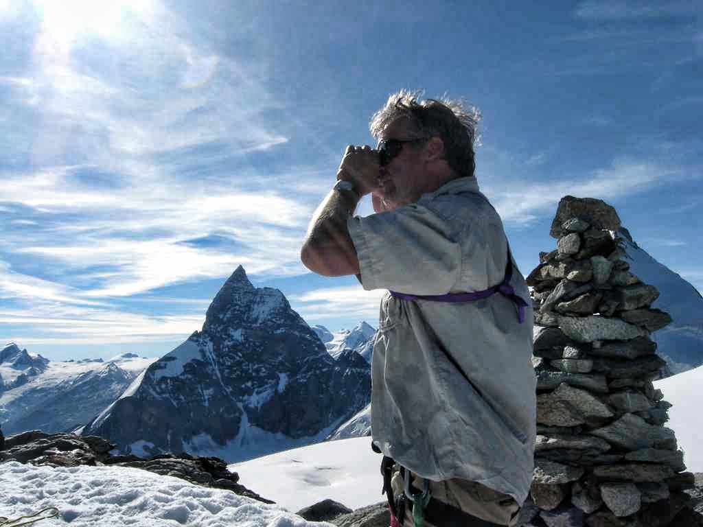
- On the summit of the Tete Blanche
-
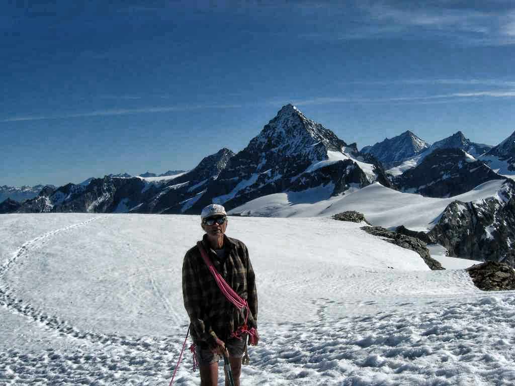
- The Dent Blanche from the summit of the Tete Blanche
-
- Starting down from near the Col d’Herens toward the Stockji Glacier
-
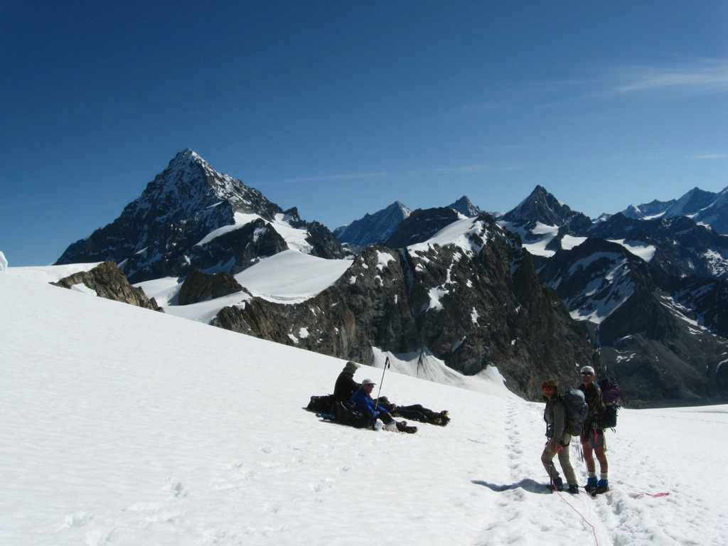
- Passing the Brits resting on the upper part of the Stockji Glacier
-
- Crevasses on the Stockji Glacier
-
- Descending a steep portion of the Stockji Glacier
-
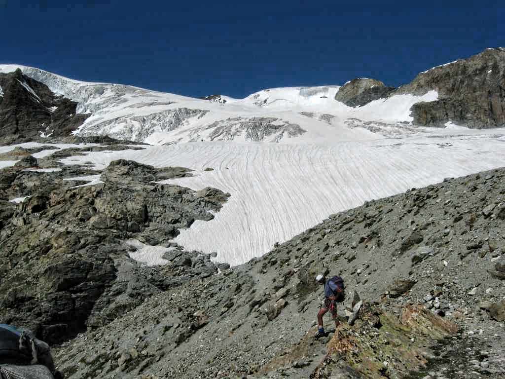
- Looking back up the Stockji Glacier to the Tete Blanche
-
- Short rappel off the Stockji Glacier onto the Stockji
-
- Following the steep trail down the Stockji
-
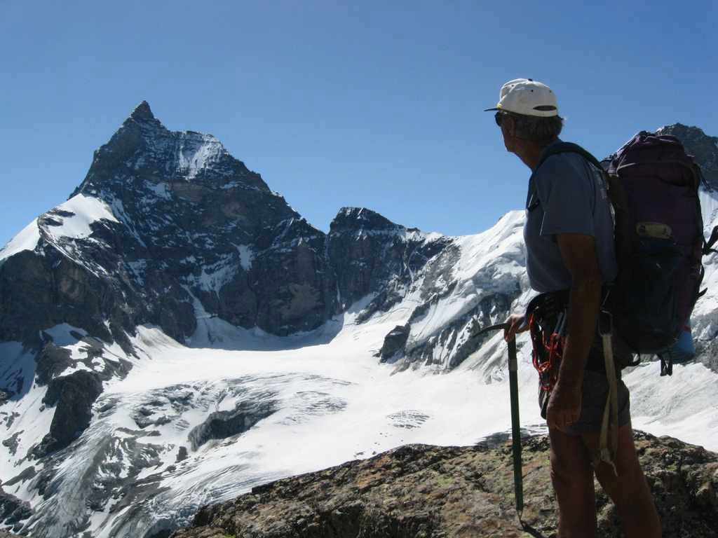
- Al and the Matterhorn from the Stockji
-
- The Zmutt Glacier and the north face of the Matterhorn
-
- The trail near Zmutt close to the end of the route
-
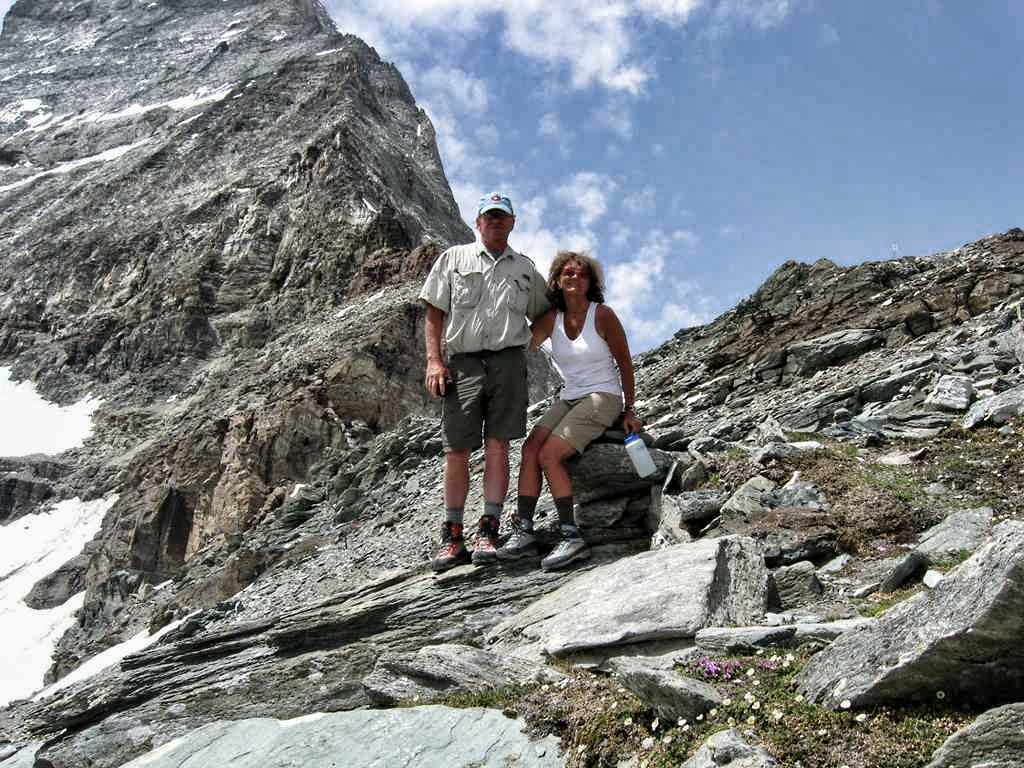
- Steve and Katherine at the Hornli Hutte on the Matterhorn
-
- The Matterhorn from Zermatt