Kayaking the Beaverhead
and Jefferson Rivers
Clark Canyon Dam to Three Forks
Total length 158 miles
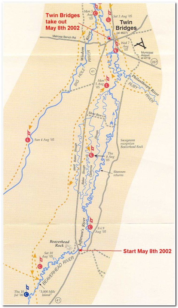
Segment #1: Beaverhead River; Clark Canyon Reservoir to Twin Bridges: 78 miles.
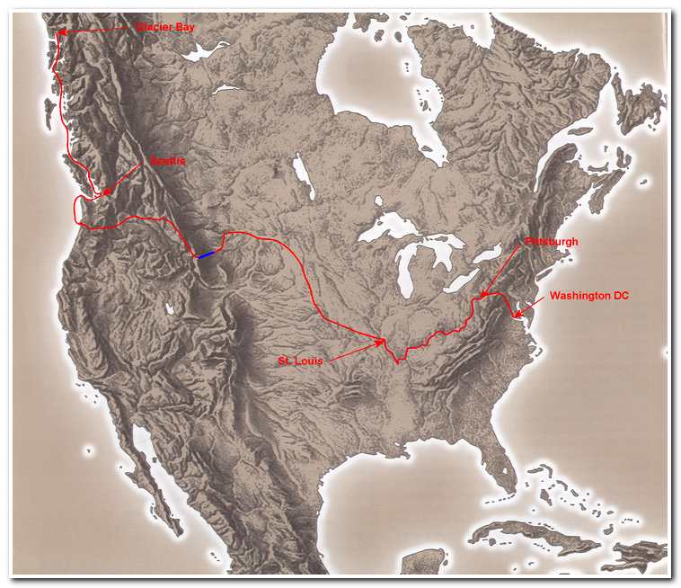
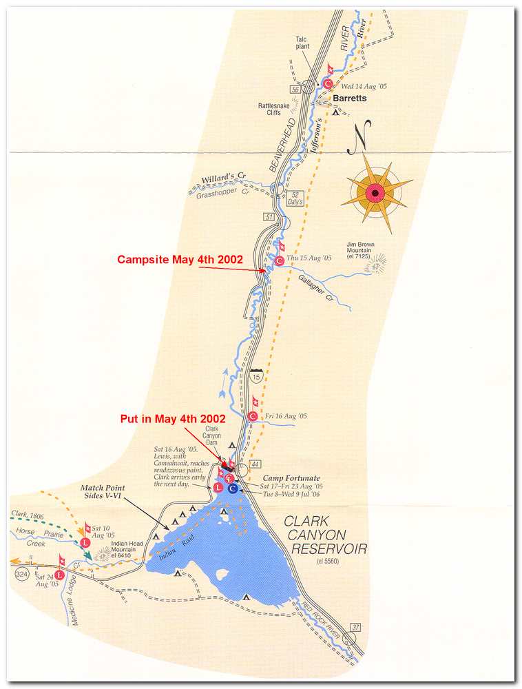
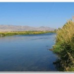
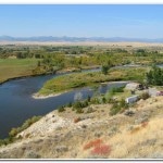
The headwaters of the Missouri lay high in the mountains bordering Idaho and Montana west of the small rural crossroads of Grant, Montana. The officially recognized starting point is Sacagawea Springs near the summit of Lemhi Pass. From Sacagawea Springs Trail Creek (the Missouri’s first name) leads down out from Lemhi Pass and into the Horse Prairie Creek valley before emptying into the Clark Canyon Reservoir. My route on the Missouri went from Clark Canyon Dam to Three Forks. So my route on the Missouri started at the base of Clark Canyon Dam, the beginning of the Beaverhead River.
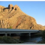
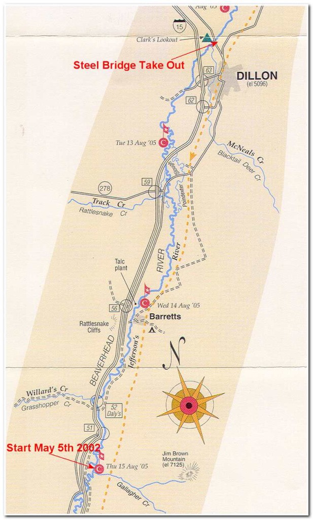
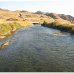
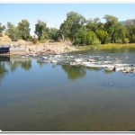
On May 4 2002 I drove from Seattle to Dillon, Montana where I picked up the last of my supplies in preparation for my 70 kayak trip down the length of the Beaverhead River, from Clark Canyon Reservoir to Twin Bridges, Montana. After this final stop I drove out of town west on Interstate 15 to the turn off for Grant. Just after 4:00 in the afternoon crossed the Clark Canyon Dam and turned onto a small dirt road leading down to my put in site at the base of the dam. I was surprised that the river at this point was barely 20 to 30 feet across and maybe 6 inches to 2 feet deep with a rocky bottom. After loading the kayak with my supplies and camping gear I shoved off and for about 10 seconds I was moving rapidly along in the swift currant before running aground for the first of what was to seem like several thousand times in this shallow fast moving stream/river. I spent the first four hours of the trip alternately splashing along in class two rapids and crab-walking the kayak along through 6 inch deep water. Several times I was sure that I would hole the boat on the rocks as got caught up in the currant and slammed into rocks just below the surface. It was a bumpy ride, but at least I was making headway. By 7:00 that evening I had gone seven miles and had just passed the west entrance to Beaverhead Canyon Pipe Organ Rock (mile 9). Not wanting to get too far into the canyon that night I searched the shoreline for a suitable campsite and soon found a nice spot in a grassy area on the right side of the river. I set up camp (mile 10.5) and made dinner before settling back with a good book and reading until it got dark around 8:45 when I snuggled down into my sleeping bag and read by headlamp until 9:30 before turning in for the night.
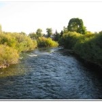
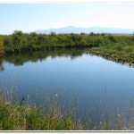
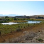
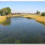
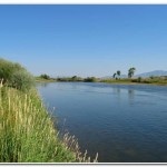
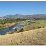
The Beaverhead River flows for only 43 air miles, but if one were to straighten it out its length is nearly double that. The Beaverhead today is much the same as Meriwether Lewis described it in 1805: “from 35 to 40 yards wide very crooked many short bends constituting large and general bends; insomuch that altho’ we travel briskly and a considerable distance yet it takes us only a few miles on our general course or route.”
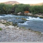
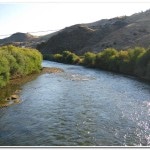
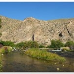
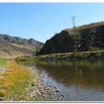
The next morning (May 5) dawned cold and clear, a good day for paddling! After a short breakfast I packed and shoved off for my first full day on the river. For the first mile or two the river passed gentle through a flat grassy plain before pouring down through a narrow canyon bordered on one side by Interstate 15 and on the other by railroad tracks. Here the currant picked up considerably and class two to three rapids had to be navigated. While I wouldn’t categorize this section of river as death defying it definitely keep me busy staying one step ahead of the obstacle course of boulders that the currant swept through.
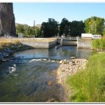
After about an hour of this heads up kayaking I came to the eastern portal of the canyon at Rattlesnake Cliffs and the quiet pool behind Barrett Dam (mile 16). Here I had to portage around the dam. The good news about the portage was that it was short and also provided me with a chance to rest and empty the water out of my kayak before continuing on toward Dillon.
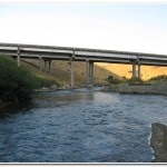
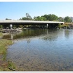
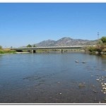
Once back on the river again below Barrett Dam the river slowed considerably and took a meandering path northeast, through open grasslands and the occasional cattle or dairy farm. At mile 19 I had to hug the deck of the kayak as I passed under a very low bridge. I was surprised to find that on several occasions I had to contend with low private bridges, irrigation diversion dams and even barbed wire fences strung across the river. These objective dangers are not marked on maps and could be very dangerous to the unwary kayaker. Fortunately, I managed to successfully dodge all these obstacles as I went but I have heard of others who were not so lucky and lost their gear or boats to one of these hazards. Around 11:00 I passed by the intersection of Interstate 15 and State Route 278 (mile 23) about five miles outside of Dillon.
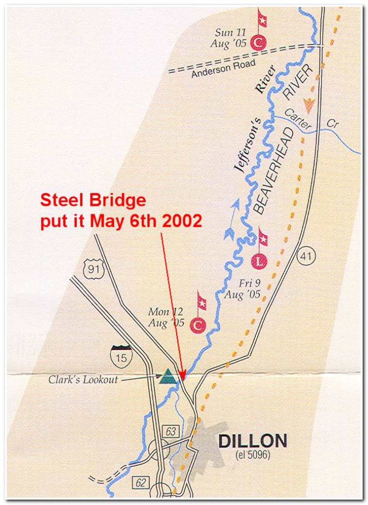
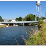
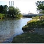
From here the river continued slowly wondering north, away from the Interstate across a flat prairie before coming to the abrupt cliffs on the north side of the prairie (mile 26.5). Here the river took a 90 degree turn to the right and a short distance further on I came to Cornell Dam (mile 28), on the outskirts of Dillon. I took out here and portaged around the dam continued my paddle around the town to my final take out of the day the so-called ‘steel bridge’ (mile 31; 2:50pm) just northeast of town and near ‘Clark’s Lookout.’ Here on August 13th 8005 William Clark climbed a 70 foot high limestone cliff near the river and took several compass readings. I spent the rest of the afternoon scouting out the next day’s route between Dillon and Beaverhead Rock. Late in the day I checked into the local Motel 6 and then had dinner at a little western dinner in town. The food probably wasn’t that great, but it was fine as far as I was concerned given the effort I had put into the day’s paddle.
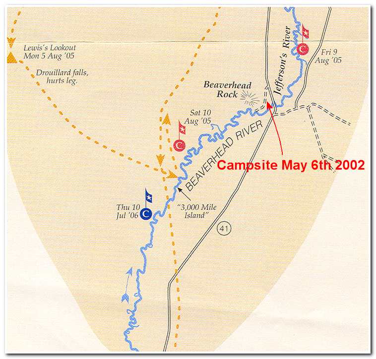
The next morning (May 6th) I drove out to the “steel bridge” and put in at around 8:30. Between Dillon and Beaverhead Rock the river continues its slow winding pathway northeast through farm and ranch land. After about 9 miles (mile 40) I reached the halfway mark, of the Beaverhead, at Anderson Lane Bridge. By now the river is heading in a near northerly direction and if anything is getting even more convoluted in its course to ward Beaverhead Rock. Six hours after starting out from ‘Steel Bridge’ the river turned abruptly east and skirted along the base of some cliffs which culminated in Beaverhead Rock (mile 54).
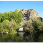
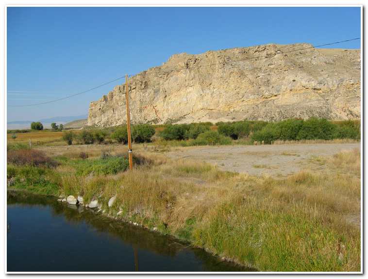
This famous Lewis and Clark landmark is the site of their August 8th 1805 campsite. Clark wrote, Sacagawea, “recognized the point of a high plain to out right which she informed us was not very distant from the summer retreat of her nation on a river beyond the mountains which runs to the west. This hill she says her nation calls the beaver’s head from a conceived resemblance of its figure to the head of that animal.”
As I rounded the ‘head’ of the rock I came ashore at a small state park and found a suitable campsite for the night. Since it was only about 3:00 in the afternoon I hiked up the rock and explored this landmark of the Lewis and Clark expedition. Around 4:00 the temperature dropped and I realized that there was actually the possibility of snow that night. I put the fly on my tent and cooked indoors to stay warm as more storm clouds gathered and about 8:30 it started to snow. By 10:00 it was dark and snowing hard as I snuggled down into my sleeping bag settled in for the night.
By the next morning (May 7th) there were 4 inches of new snow on the ground and the wind had come up. Conditions on the river were cold and windy so I decided to take the day off and go back into Dillon and wait until the next day to continue on to Twin Bridges.
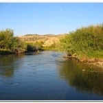
The morning of the 8th I got an early start from town and went back out to my Beaverhead Rock campsite, loaded the kayak and set off downriver. The currant was gentle and the paddle along the winding river course was relaxing. The Beaverhead continued its winding route across flat land prairie past West Baker Slough and through farms as it slowly made its way northeast.
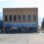
After thirteen miles and many oxbows bends I passed under the Silver Bow Bridge and entered a nine mile stretch of extreme oxbows before reaching crossing the mouth of the Ruby River on the right hand side. From there it was another two miles on into Twin Bridges and my take out point in the center of town (mile 78; 12:35). I was just in time for a late lunch at the unusually named Blue Anchor Café (it turns out that the original owner had immigrated to Twin Bridges from Seattle after a long career in the ship building industry) before calling for my shuttle back to Dillon, and then the long drive back home.
Jefferson River: Twin Bridges to Missouri River Headwaters State Park; 80 miles
Captain Lewis’s August 2, 1805 description of the Jefferson River and its valley remains quite accurate today. His journal reads:
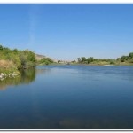
“we found the current very rapid waist deep and about 90 yards wide. Bottom smooth pebble with a small mixture of coarse gravel…..The valley along which we passed today, and through which the river winds it’s meandering course is from 6 to 8 miles wide and consists of a beautiful level plain with but little timber, and that confined to the verge of the river; the land is tolerably fertile, and is either black or dark yellow loam, covered with grass from 9 inches to 2 feet high, the plain ascends gradually on either side of the river to the bases of two ranges of high mountains ( The Highland Range to the west and the Tobacco Root Range to the east and south), the tops of these mountains are yet covered partially with snow, while we in the valley are nearly suffocated with the intense heat of the mid-day sun; the nights are so cold that two blankets are not more than sufficient covering.”
The river is also famous for the survival story of John Colter. In the spring of 1808, Colter and a companion were each paddling a canoe down the Jefferson when they were accosted by Blackfoot Indians, a tribe that vigorously resisted the invasion of the white man. The Indians motioned for them to come to shore. Colter’s companion balked, which was a fatal mistake. He was killed on the spot and Colter was captured.
Since Colter’s scalp would be a substantial prize, the Indians decided it should go the fleetest brave. Colter was stripped of the clothes and shoes and given a chance to run for his life. When the chief inquired about the white man’s speed, the clever Colter responded he was a poor runner. The Blackfoot gave Colter a head start, all the speedy fur trapper needed. He ran about 5 miles before diving into the Jefferson and finding a hiding spot under a logjam. Although the Indians searched the river for some time they failed to find Colter.
Colter’s ordeal, however, had only begun. When night fell, he began the long trek to the nearest civilization, a fort at the mouth of the Bighorn River, 250 miles distant. Even though he had neither food nor clothing, Colter reportedly covered the distance in 11 days, losing so much weight in the process that his friends didn’t recognize him when he appeared at the fort.
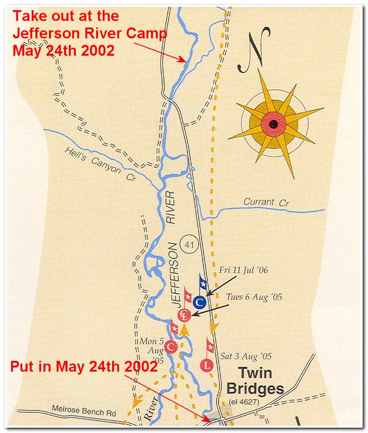
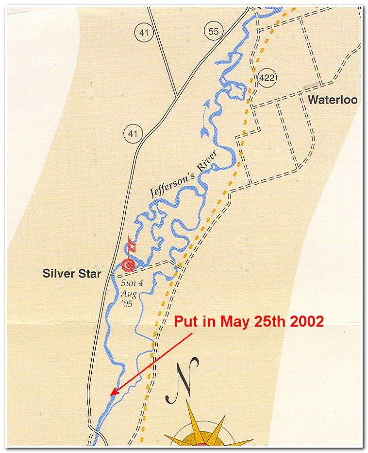
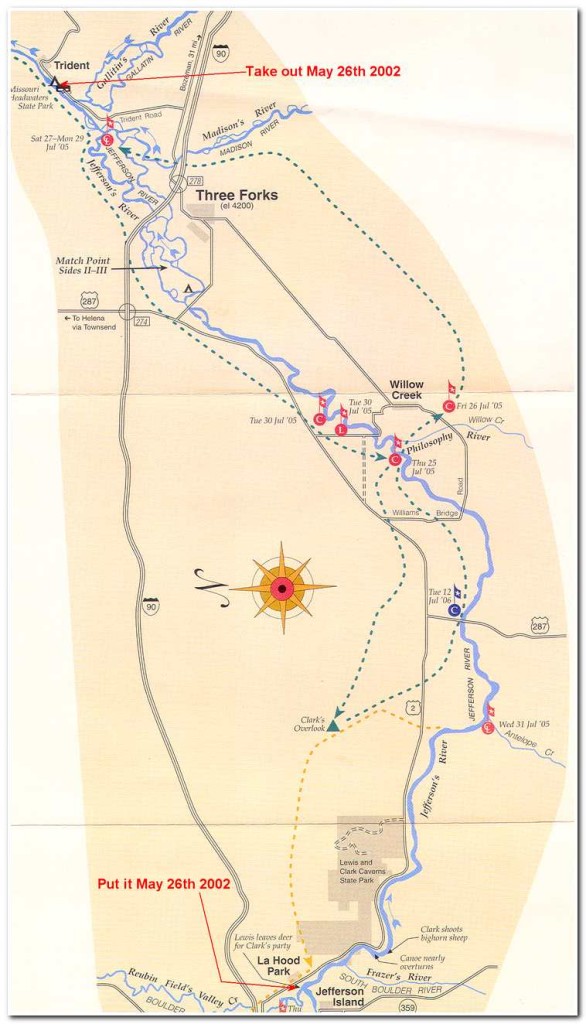
My experience on the Jefferson was somewhat more subdued. I left and drove to Twin Bridges, arriving on the 24th of May 2002 at around 11:00 in the morning. After unloading and packing my kayak I stopped in at the Blue Anchor Café, my favorite dining spot in Twin Bridges and had a quick lunch. While enjoying my Blue Anchor Burger I met Greg and Janet Smith who owned the Jefferson River Guest Ranch and they invited me to stay the night with them when I had made my way about 7 or 8 miles downriver to their place.
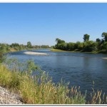
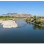
The Jefferson runs northeast from just outside Twin Bridges for 37 miles to Whitehall then turns to the east south east for 19 miles to the Sappington Bridge before finally turning northeast again for the last 24 miles to the Missouri River Headwaters Park near Three Forks. So with 80 miles to go I set off from Twin Bridges at 12:35 and headed down the last mile of the Beaverhead to its junction with the Big Hole River, which marks the beginning of the Jefferson.
Almost immediately after leaving Twin Bridges I had to make a hard right and say in a channel that avoided a diversion dam on the outskirts of town. This wasn’t too difficult but could be bad for the unwary paddler. After the dam the river settled down to a fast pace but easy paddling until I reached the confluence of the Beaverhead and the Big Hole River, coming in from the north (mile 1, 1:00). Once past the confluence I was on the Jefferson proper and continued on in relatively shallow, braided river conditions. While navigating this section I came around a sharp bend in shallow water and was surprised to see a moose standing in the middle of the river! Since there wasn’t time to significantly change course was swept past the equally surprise moose who snorted a warning. My comment was a pleasant “Hi moose!” as I went by. Fortunately he didn’t decide to argue the right of way and I rounded the next corner and was gone. Shortly after the moose encounter I pasted by Hell’s Canyon Creek (mile 4; 1:35) which joined the Jefferson on the left. After this I enjoyed an uneventful paddle past Ironrod Bridge (mile 6) and shortly after pulled into the Jefferson River Camp (mile 7; 2:35). Although it was a short day I was looking forward to spending some more time with Greg and Janet and learning more of the local lore and scouting the river ahead.
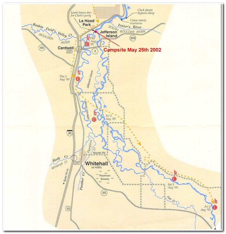
That afternoon Greg and I drove long the river to Whitehall and then on to La Hood Park, a wide spot in the road with a tavern and a couple of houses. We stopped at the tavern, had a beer and then asked the owners if it was all right if I camped down by the river behind the tavern the next night. The owner was fine with that and we returned to Greg’s and found that Janet had made a big Bar BQ for our dinner. These were the sort of people that made me happy to think that perhaps the American spirit and hospitality weren’t lost amidst the rush and egocentric approach that seems to pervade much of life today.
On the 25th I slept in till 8:00 and then enjoyed a big breakfast before reloading the kayak and setting off for LaHood Park about 9:15. After a short distance I passed by Silver Star. Silver Star became one of the earliest mining camps in Montana, upon the discovery of a valuable quartz lode nearby in 1867. In 1870 it was the only town between Virginia City and Helena. With a population of 250, it boasted stares and a hotel, a quartz mill, a Masonic Lodge and a Temperance Lodge. It is now a wide spot in the road. After Silver Star I followed a meandering, shallow route on to Parson’s Bridge (mile 17; 11:00). At Parson’s there was a serious diversion dam that I had to portage around before continuing. After the portage I paddled on in a much straighter course past Point of Rocks (mile 22; 11:45), on the right, one of the Lewis and Clark landmarks.
Shortly after Point of Rocks I went past Parrot Castle (mile 24; 12:05). This was the site of a smelter built by R. P. Parrot to process ore from the mines in the foothills of the Tobacco Root Mountains. The office was a large brick building which resembled a castle; thus the name. Here again, I came across a diversion dam that required a portage before I could continue.
After the portage at Parrot Castle I continued on a lazy meandering course through farmland and cottonwood bottoms past the town of Whitehall. At 1:30 I paddled under Kountz Bridge (mile 33), and past the August 2nd 1805 campsite of Lewis and Clark before passing the Mayflower Bridge (mile 36; 2:05). In another half hour I reached the Cardwell Bridge (mile 40; 2:35). Cardwell is the home town of the famous newscaster Chet Huntley. On the east flank of the Bull Mountains just north of Cardwell is the Golden Sunlight Mine, which was opened in 1892, and is still in operation. From the Cardwell Bridge it was short a short paddle to La Hood (mile 41; 2:50) and my planned campsite before entering the narrows between the London Hill and Lewis and Clark State Park.
My campsite at La Hood was comfortable and on May 26th I awoke and was ready to start on the last leg of my journey down the Jefferson. I got started at 7:00 that morning and entered the beautiful narrows between La Hood and Williams Bridge, twenty four miles downriver. This section of river was the prettiest section on the Jefferson. It had numerous gentle rapids and rugged hills on either side of the river. The overall impression was that of a narrow, winding passage through a scenic canyon. After two or three miles I passed by Lewis and Clark Caverns. As it happens these caverns were not even noticed by the intrepid duo in 1805. They were first seen by white men in 1882 and were given their name by President Theodore Roosevelt, who in 1908 designated then the nation’s twelfth National Monument. In 1935 the governor of Montana requested that the area be turned over to the State for development as a park. During the next five years, Civilian Conservation Corps crews explored the caverns, built trails and handrails, carved steps, installed a lighting system, and blasted an exit tunnel 500 feet to the surface. The park was officially opened in 1941.
Geologically, the caverns are the product of acid rain and groundwater which, perhaps two million years ago slowly penetrated the limestone resulting from the shells of crustaceans that lived and died in the warm shallow sea covering this part of the West some 300 million years before.
After a great nearly two hour paddle I reached the Sappington at 8:45 (mile 52) and sped along to Williams Bridge (mile 55) which I reached at 9:30, two and a half hours into the day. By 10:00 I rounded a sharp right hand bend in the river and came to Willow Creek Bridge (mile 58). From the Willow Creek Bridge the river slowed and continued its meandering course northeast for several miles before it was forced along the base of a series of high bluffs. This natural barrier was traversed for three or four more miles until I reached the Drouillard Bridge (11:00), just west of the town of Three Forks.
From Drouillard Bridge the Jefferson becomes much more braided and a little difficult to follow as it twists and turns its way in a sweeping arc half way around Three Forks. Just northeast of town the river crosses under the Interstate 90 Bridge (11:30, mile 67).
On July 25th 1805, Captain Lewis and his expedition became the first white men to see the “three noble streams” that are the sources of the Missouri River. “I halted the party,” he wrote in his journal, “and ascended the point of a high limestone cliff from whence I commanded a most perfect view of the neighboring country.” He saw that “a distant range of lofty mountains ran their snow clad tops above the irregular and broken mountains which lie adjacent to this beautiful spot.” He judged it to be an “essential point in the geography of the west part the continent.”
He named the east fork for Secretary of the Treasury Albert Gallatin, the middle fork for Secretary of State James Madison, and the west fork for President Thomas Jefferson, “the author of our illustrious enterprise.” The expedition then proceeded up the Jefferson in search of the long-dreamed-of Northwest Passage. Lewis called the Beaverhead, Big Hole, and Rube rivers the Philosophy, Wisdom, and Philanthropy, after Jefferson’s three cardinal virtues.
During the first half of the nineteenth century, furs dominated the fashion market in Europe and America, and trappers flooded into the West immediately upon hearing of Lewis’ account of the “vast number of beaver in many large dams.” In the spring of 1910 a group of thirty-two American and French trappers built a fort about two miles above the confluence of the Jefferson and Madison rivers, defying the Blackfoot Indian warriors who defended these prime hunting grounds.
The trappers were soon driven out by the Indians and few white men dared to venture into the area until 1837 when some traders found a large Blackfoot camp containing the bodies of hundreds of men, women and animals watched over by the only two survivors of a smallpox epidemic.
During the rush to the gold camps of Virginia City and Last Chance Gulch in the early 1860s, there were two brief and futile attempts to establish trading and transportation hubs in the area. The second lasted until 1883, when the Northern Pacific built its main line a mile to the north. In 1908 the Milwaukee railroad decided to establish a division point here. On September 17th the Milwaukee Land Company sold seventy two lots, and before winter set in the “New” town of Three Forks was open for business.
From the Interstate 10 Bridge it took only about 20 minutes to reach the confluence of the Jefferson and Madison rivers and another 20 minutes to reach the confluence of the Jefferson/Madison and Gallatin rivers. From here on it was the Missouri River for another 2321 miles to the Mississippi River.


