Swiss Alpine Hut Hikes
in the
Mattertal and Val d’Anniviers
by
Stephen and Katherine Trafton
Table of Contents
The MattertalZermatt The Täsch Hut The Fluhalp Hütte The Monte Rosa Hut The Rothorn Hut The Schönbiel Hut The Hörnli Hut .The Val d’AnniviersThe Cabane du Grand Mountet The Cabane de Moiry
|
The Mattertal
Zermatt (5315ft)
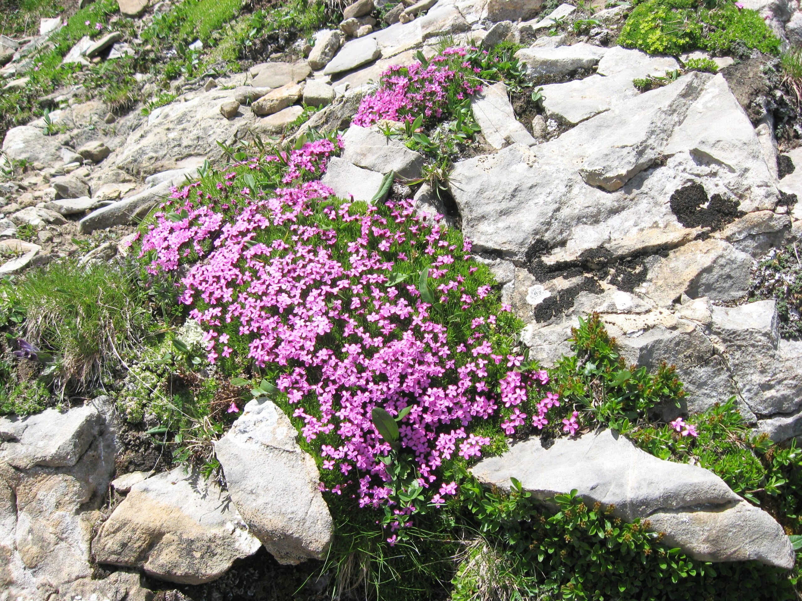
A Phlox rock garden in the hills above Zermatt
Welcome to…
Zermatt!
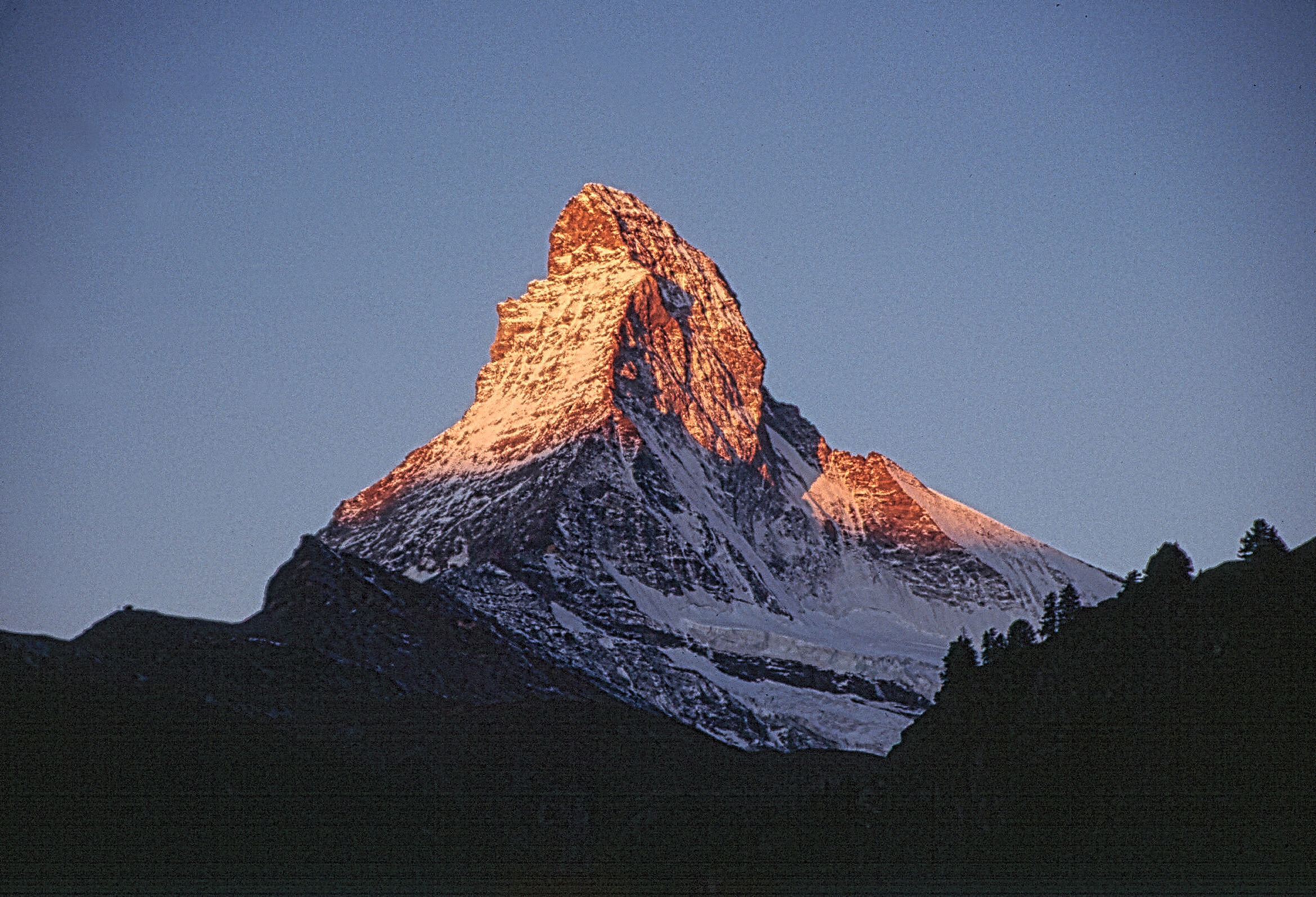
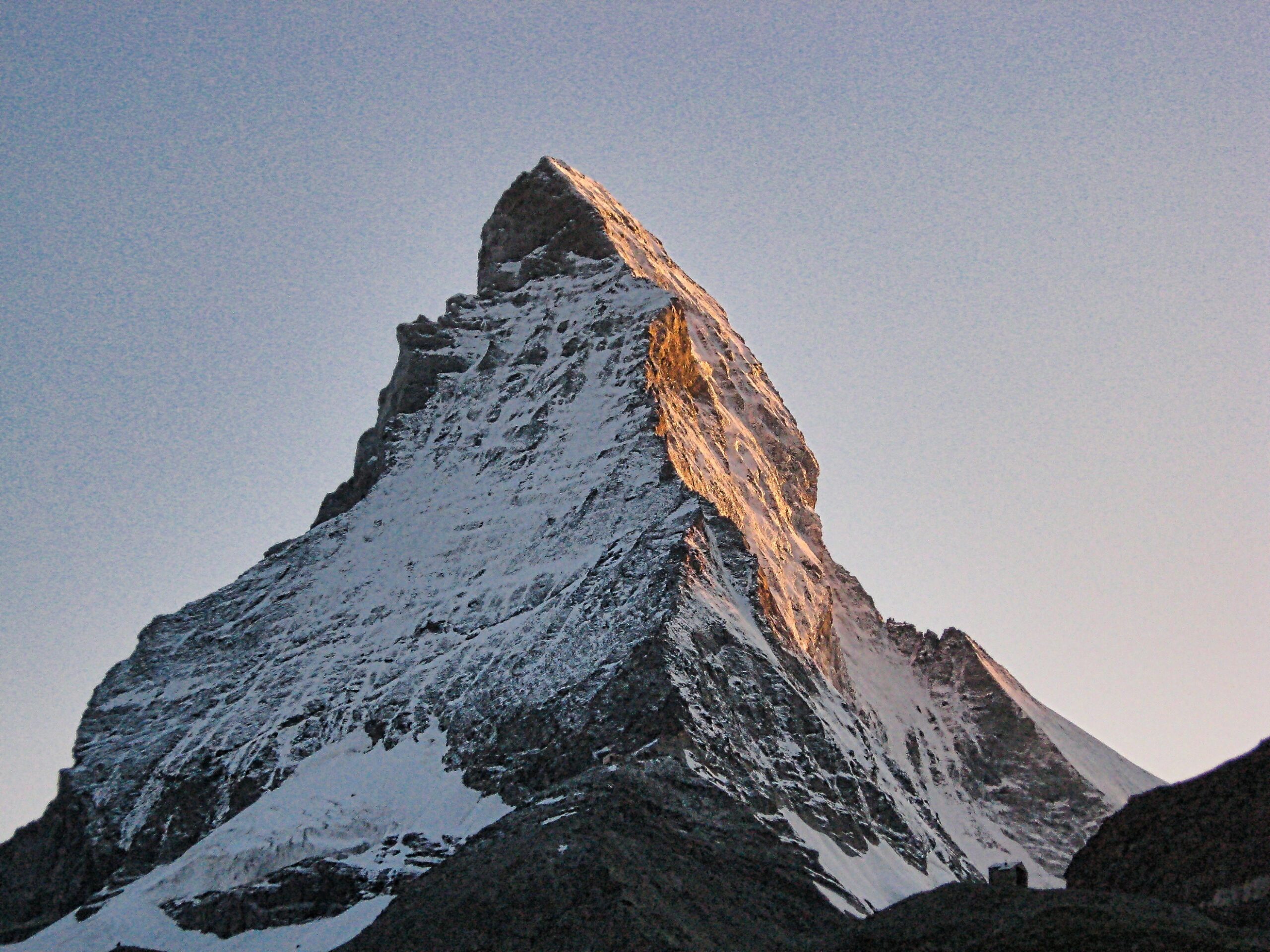
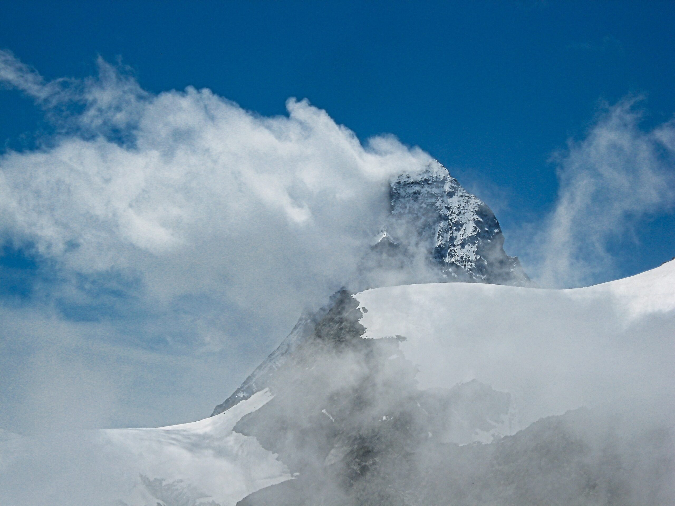
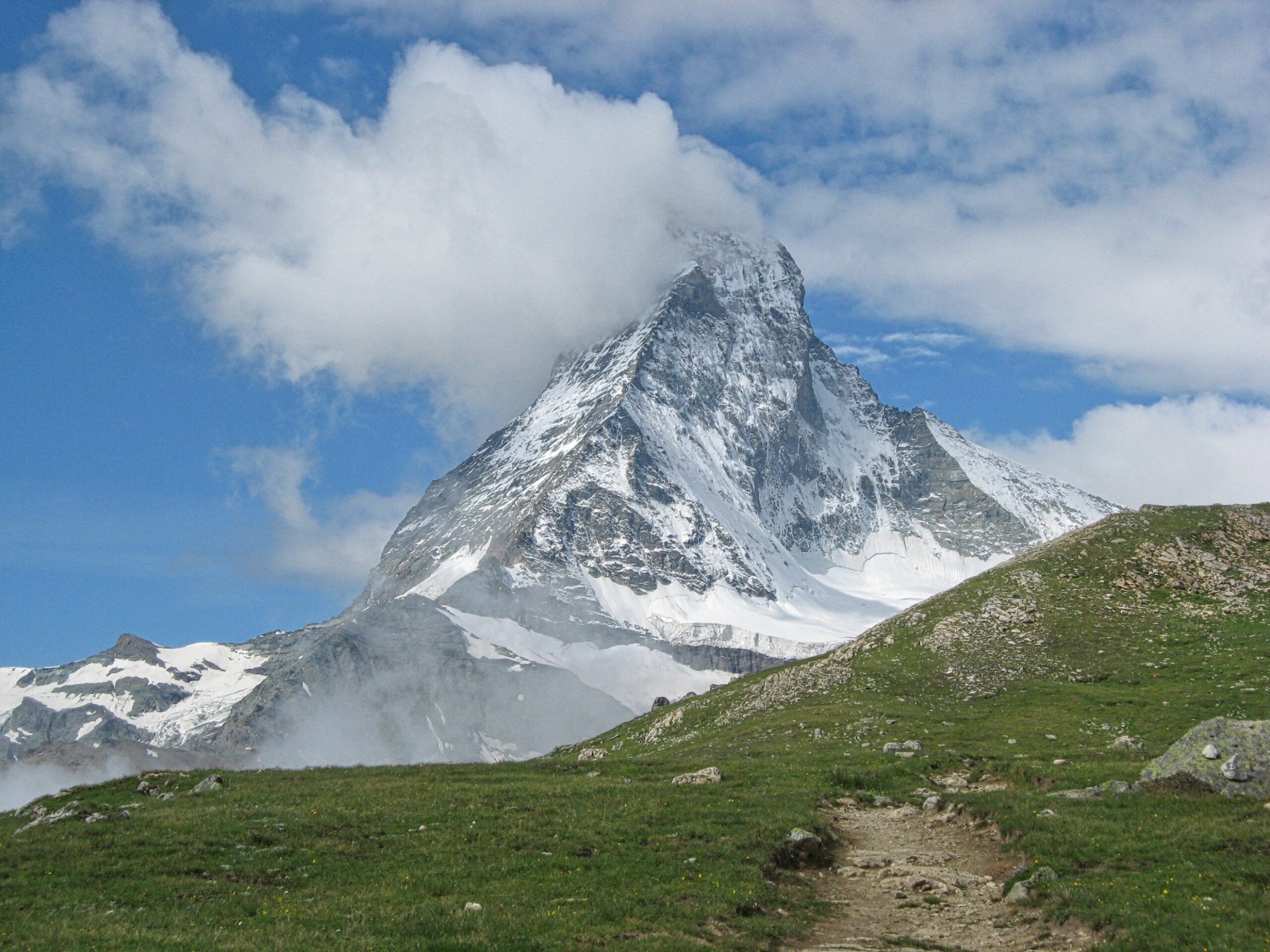
Early morning light on the Matterhorn
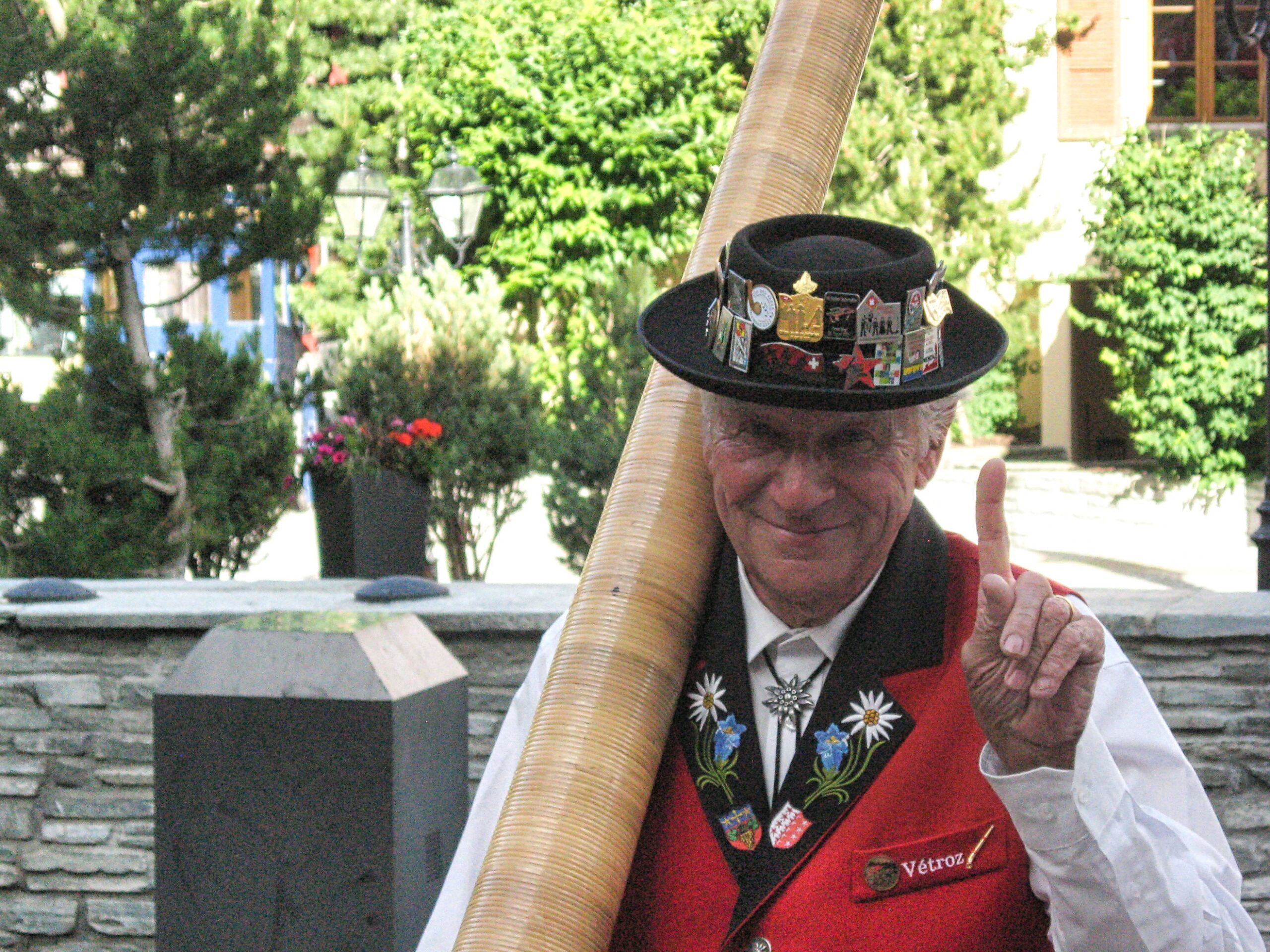
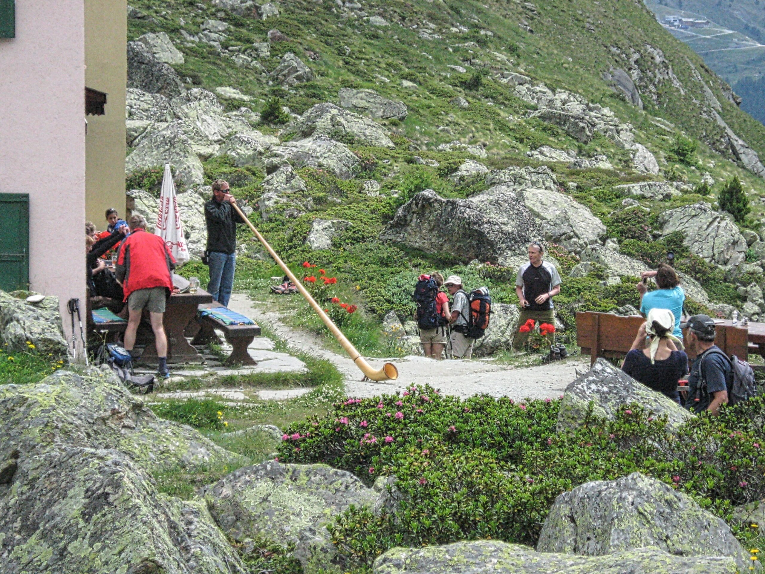
Zermatt’s master alphorn player
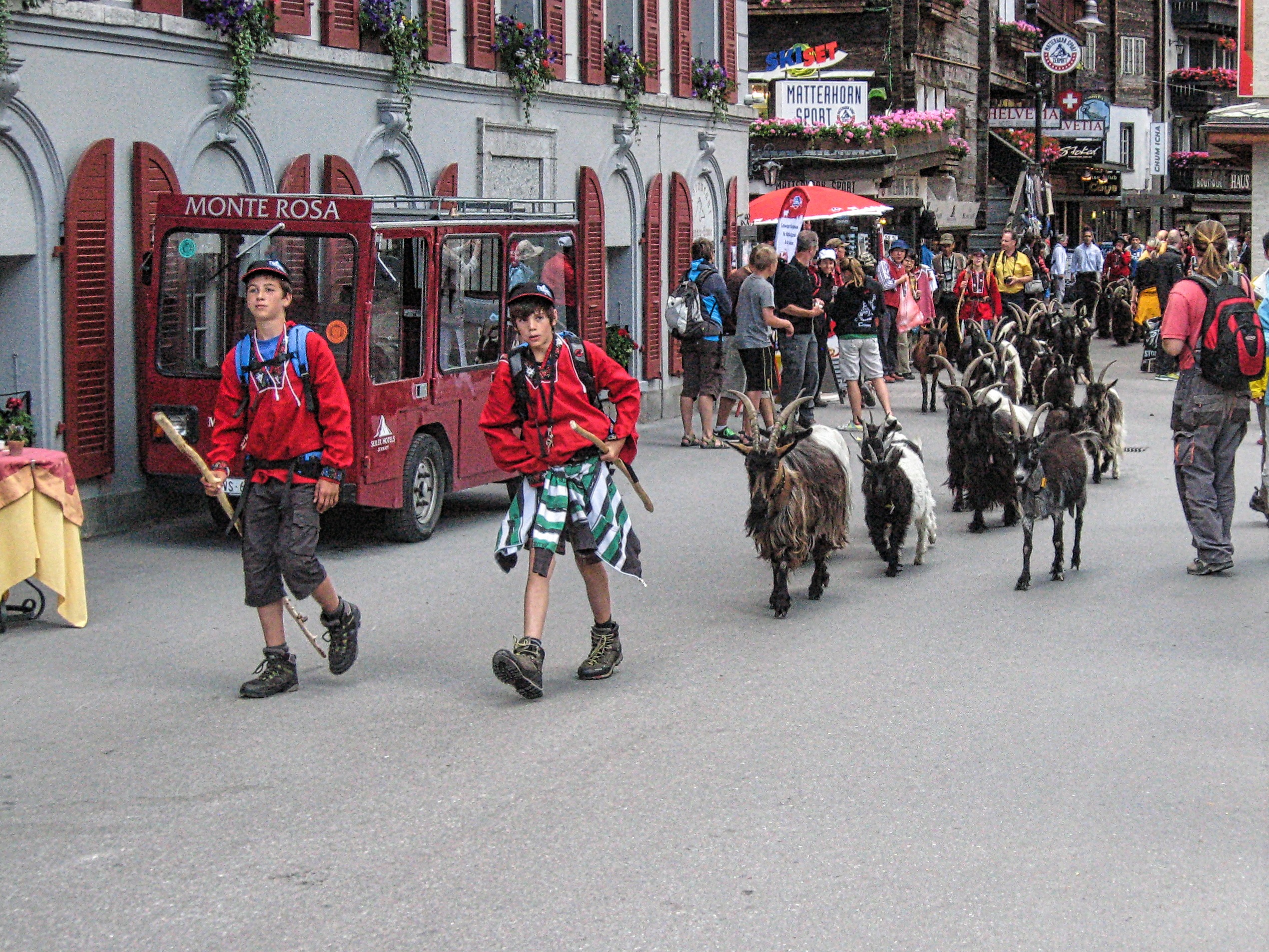
The daily afternoon herding of the goats down the main street of Zermatt
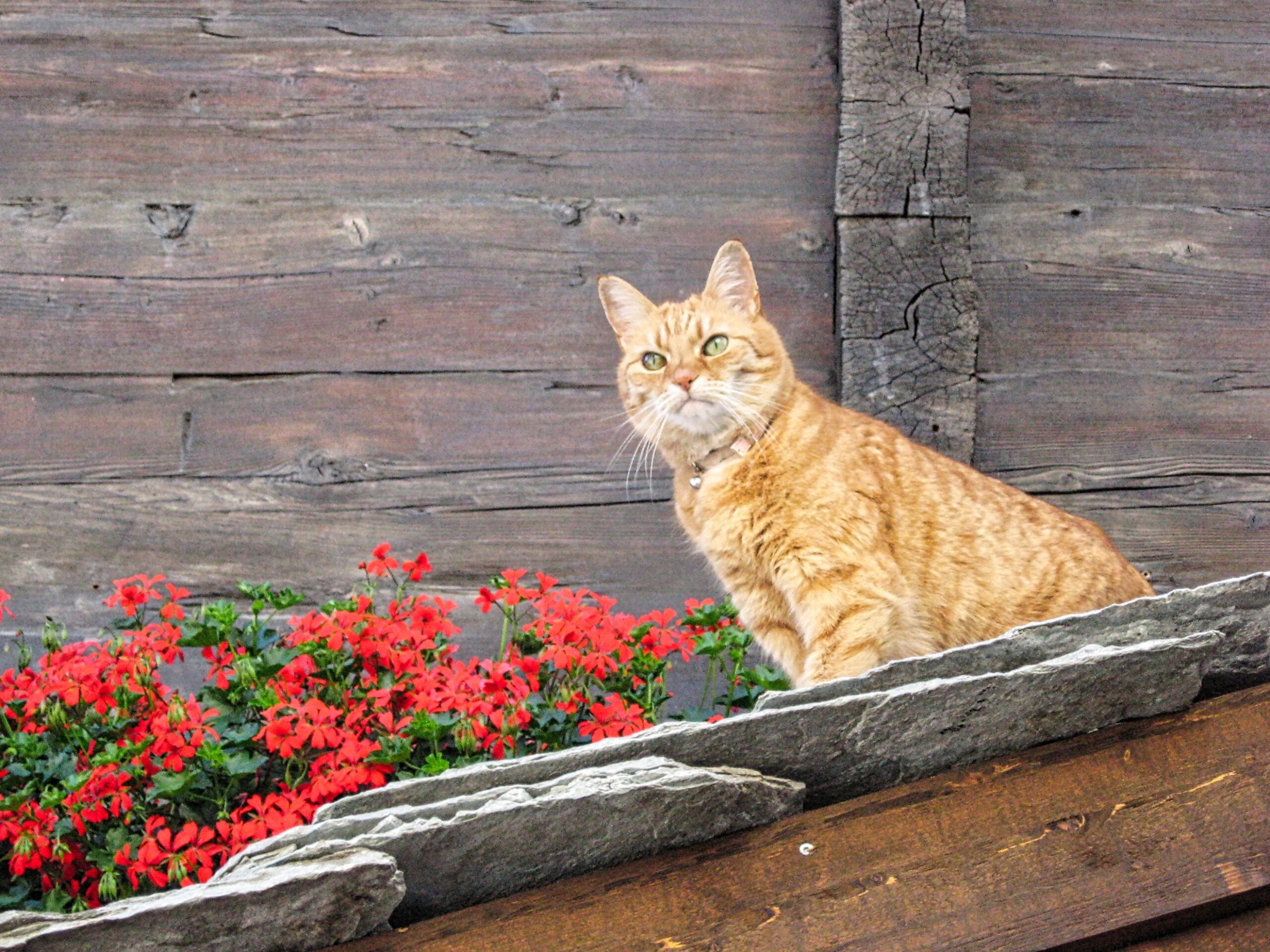
Keeping an eye on the tourists
Summer sunset on the north face of the Matterhorn
Täsch Hut (8862ft)
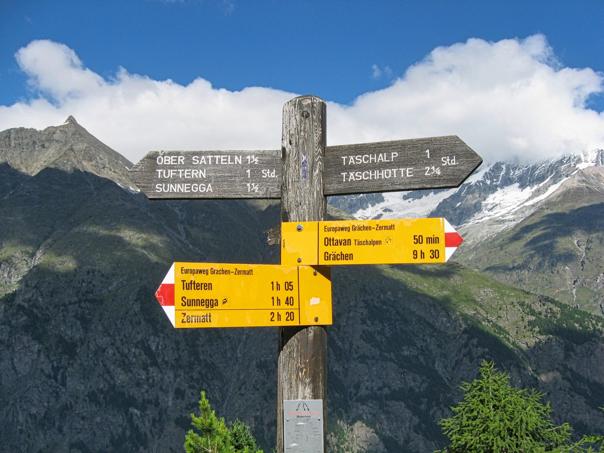
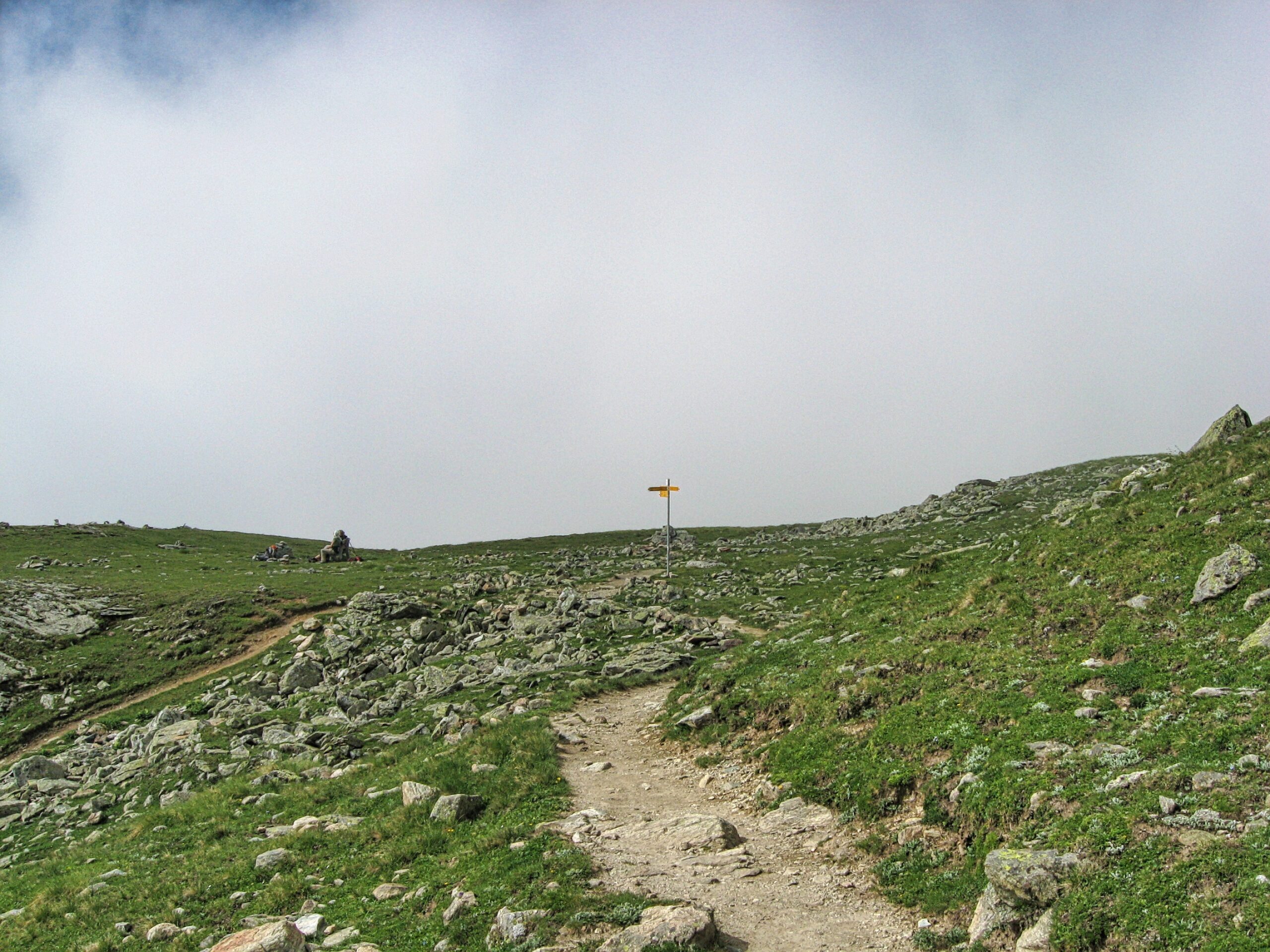
Trail sign marking the route from Sunnegga to the Täsch Hut
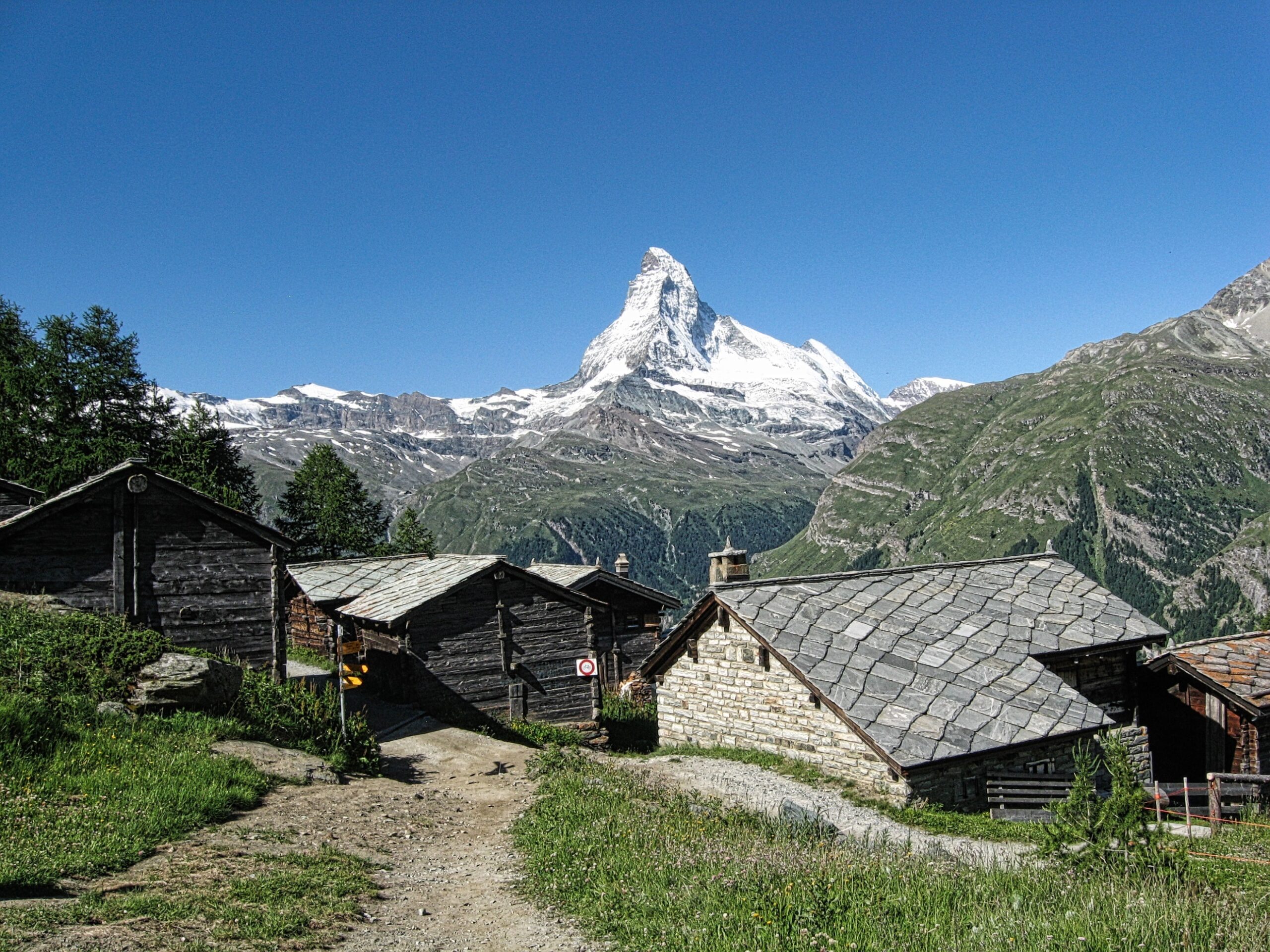
The Matterhorn as seen from Tufteren along the trail to the Täsch Hut
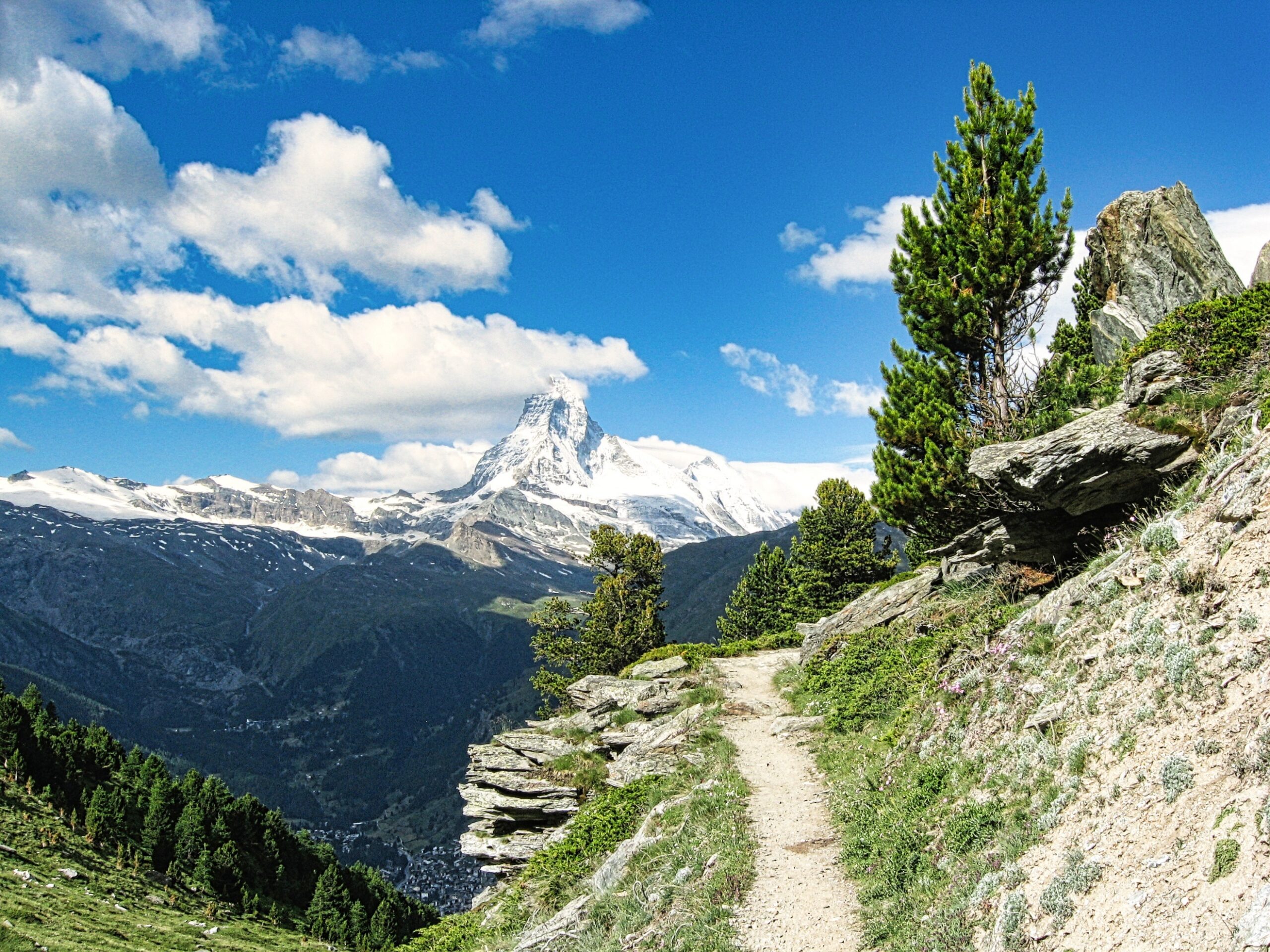
View from the trail to the Täsch Hut (Zermatt in the valley below)
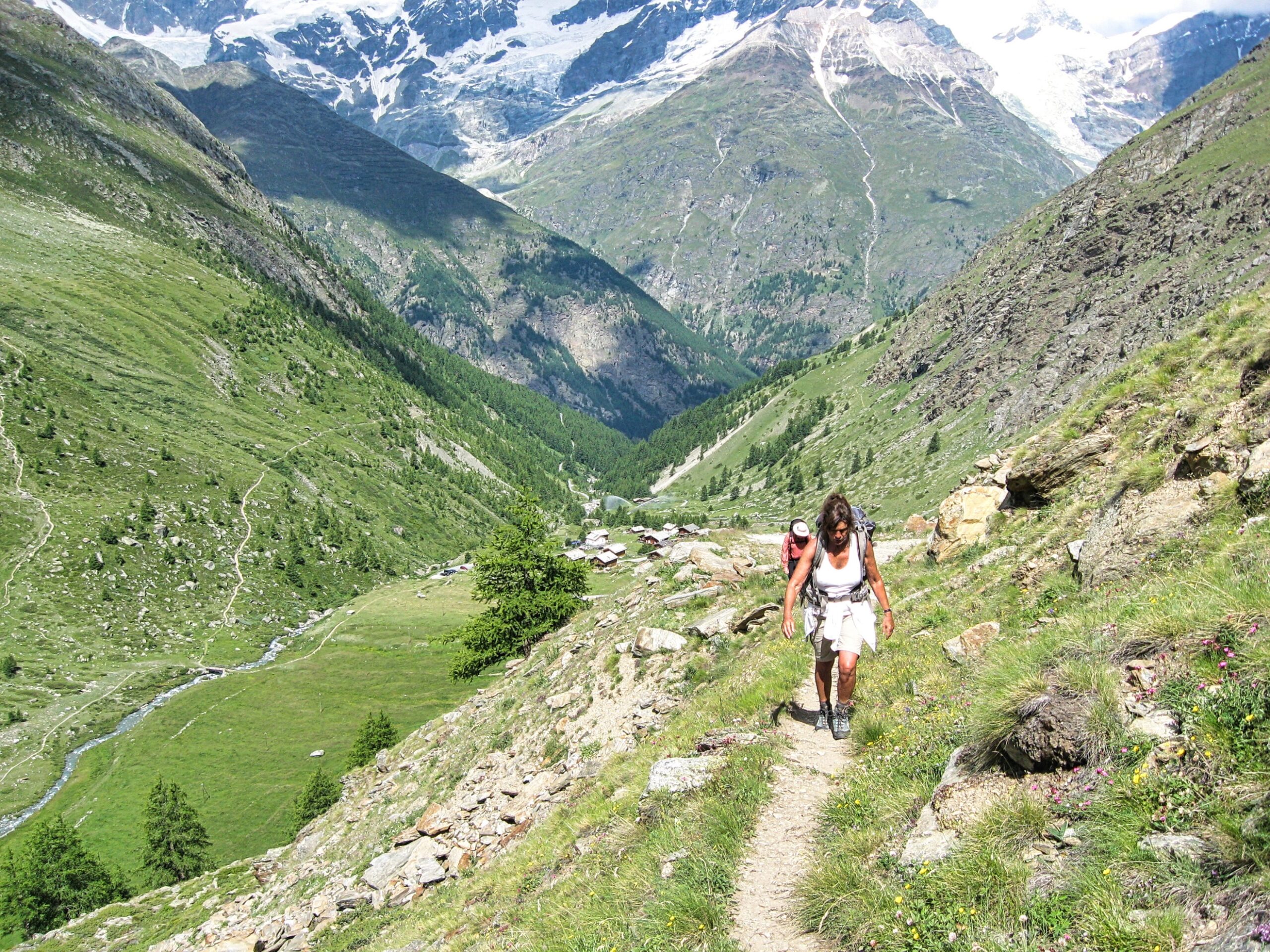
Hiking on the trail coming up from Täschalp (the trail leading into Täschalp is on the hillside to the left)
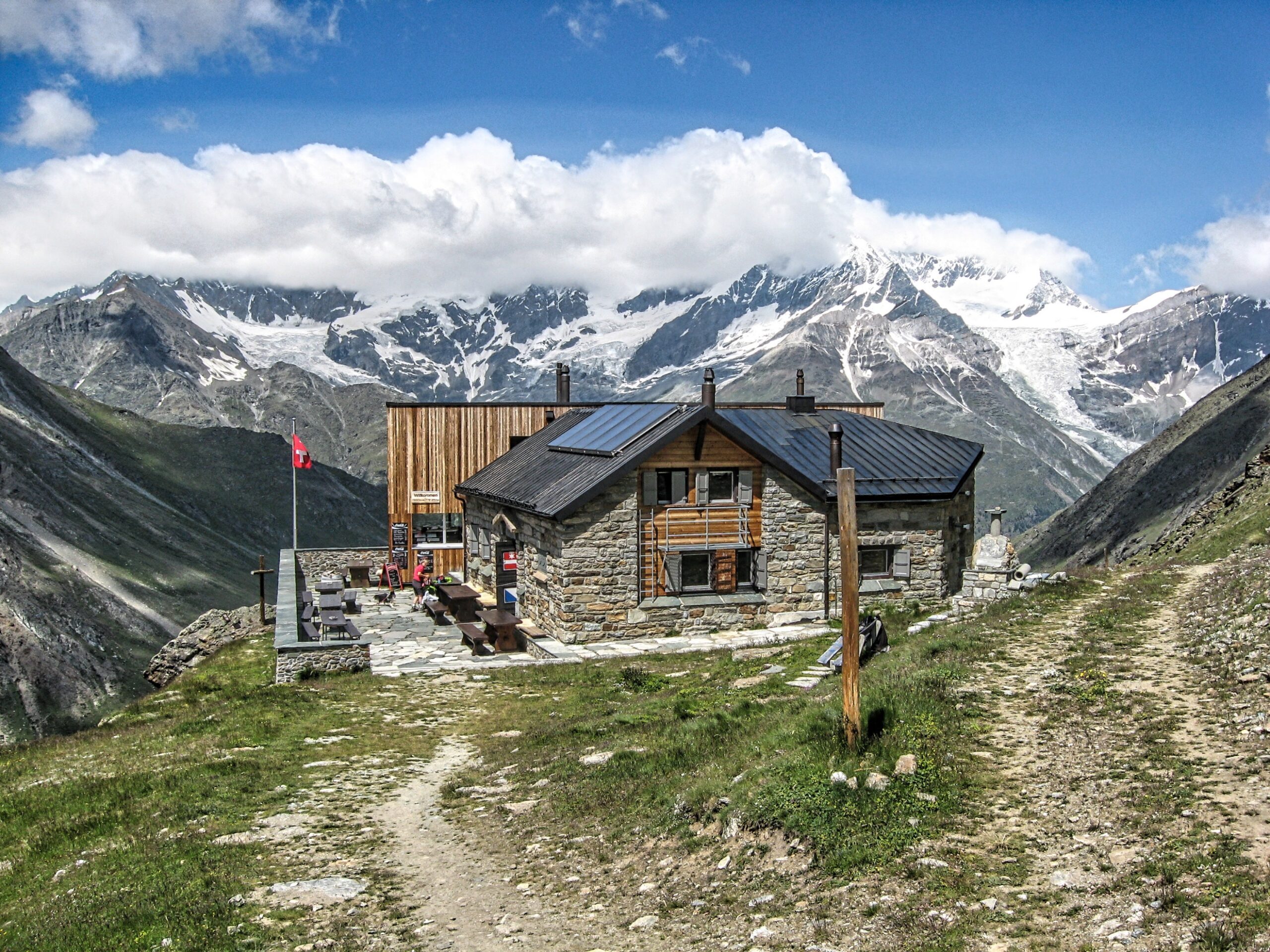
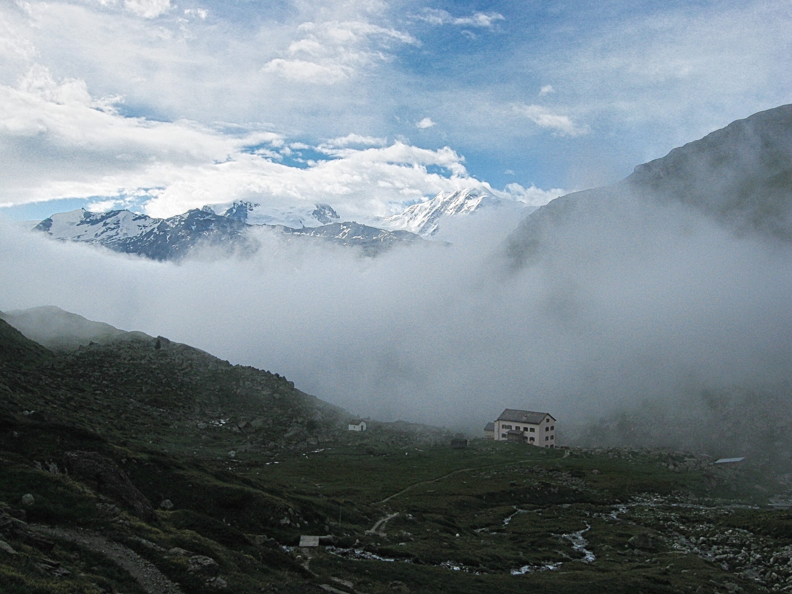
Täsch Hut (The Weisshorn is in the clouds)
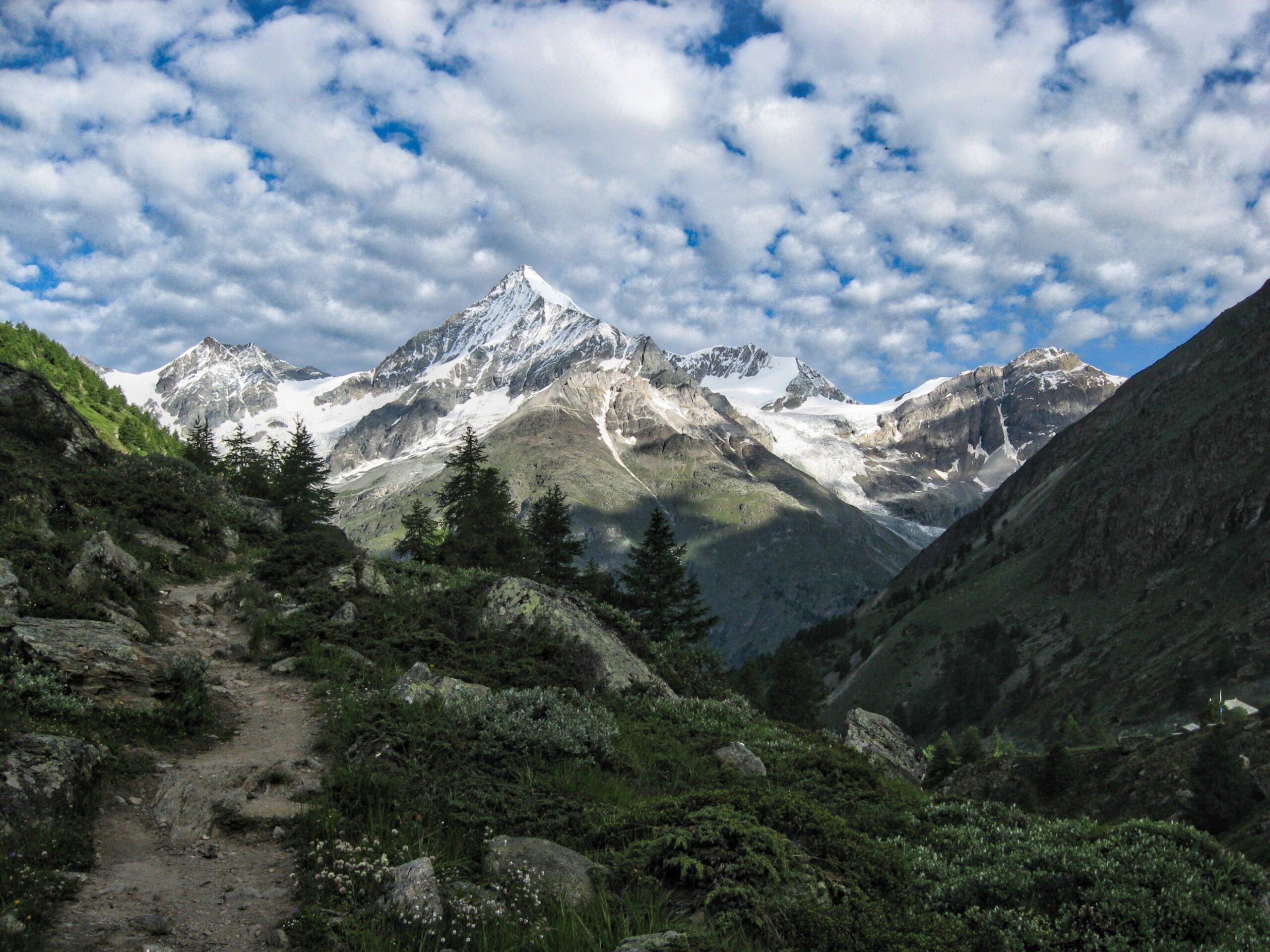
Early morning light (left to right the Schalihorn, the Weisshorn, the Bishorn and the Brunegghorn)
Fluhalp Hütte (8550ft)
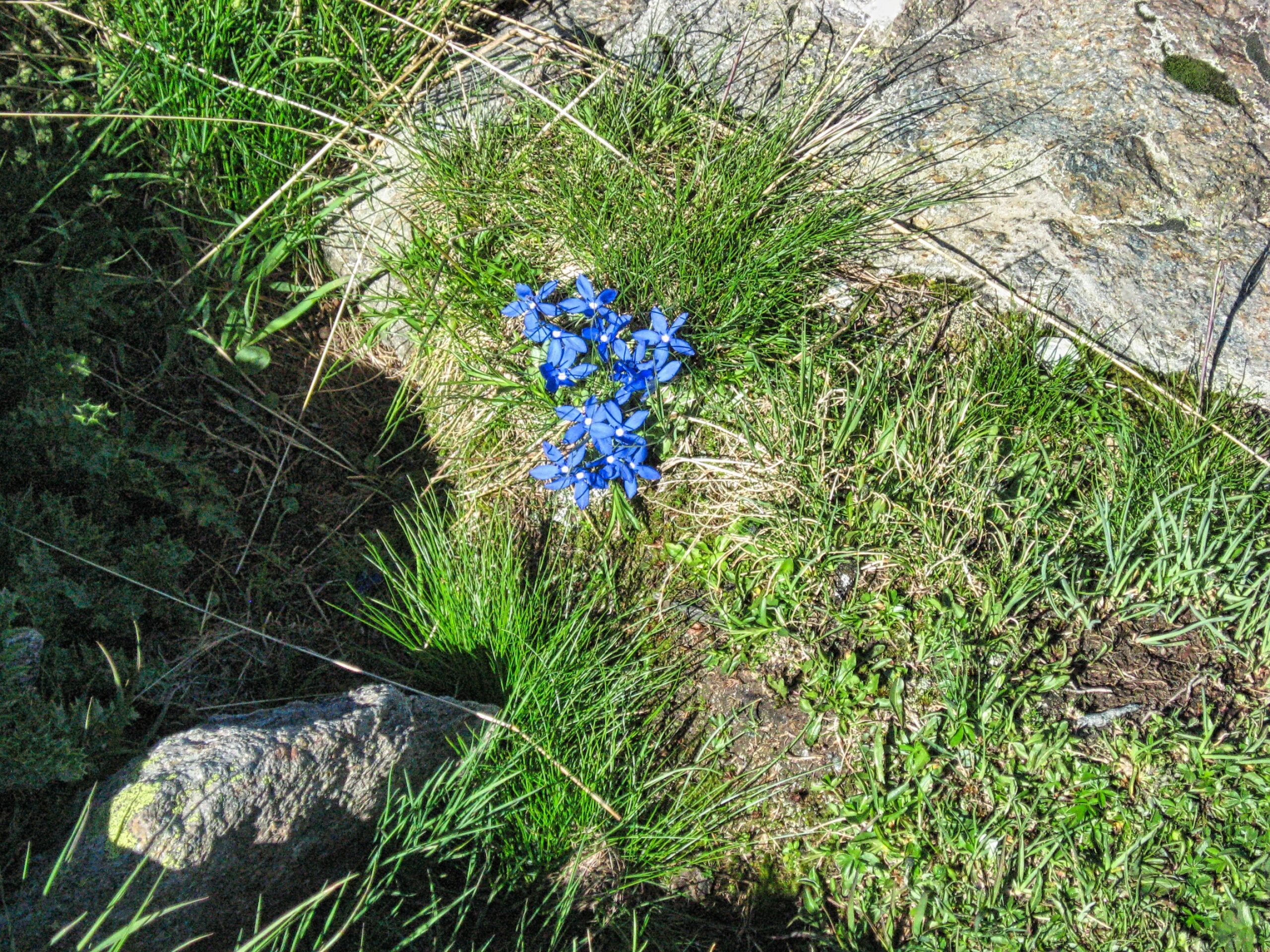
Spring Gentian along the trail from Sunnegga to the Fluhalp Hütte
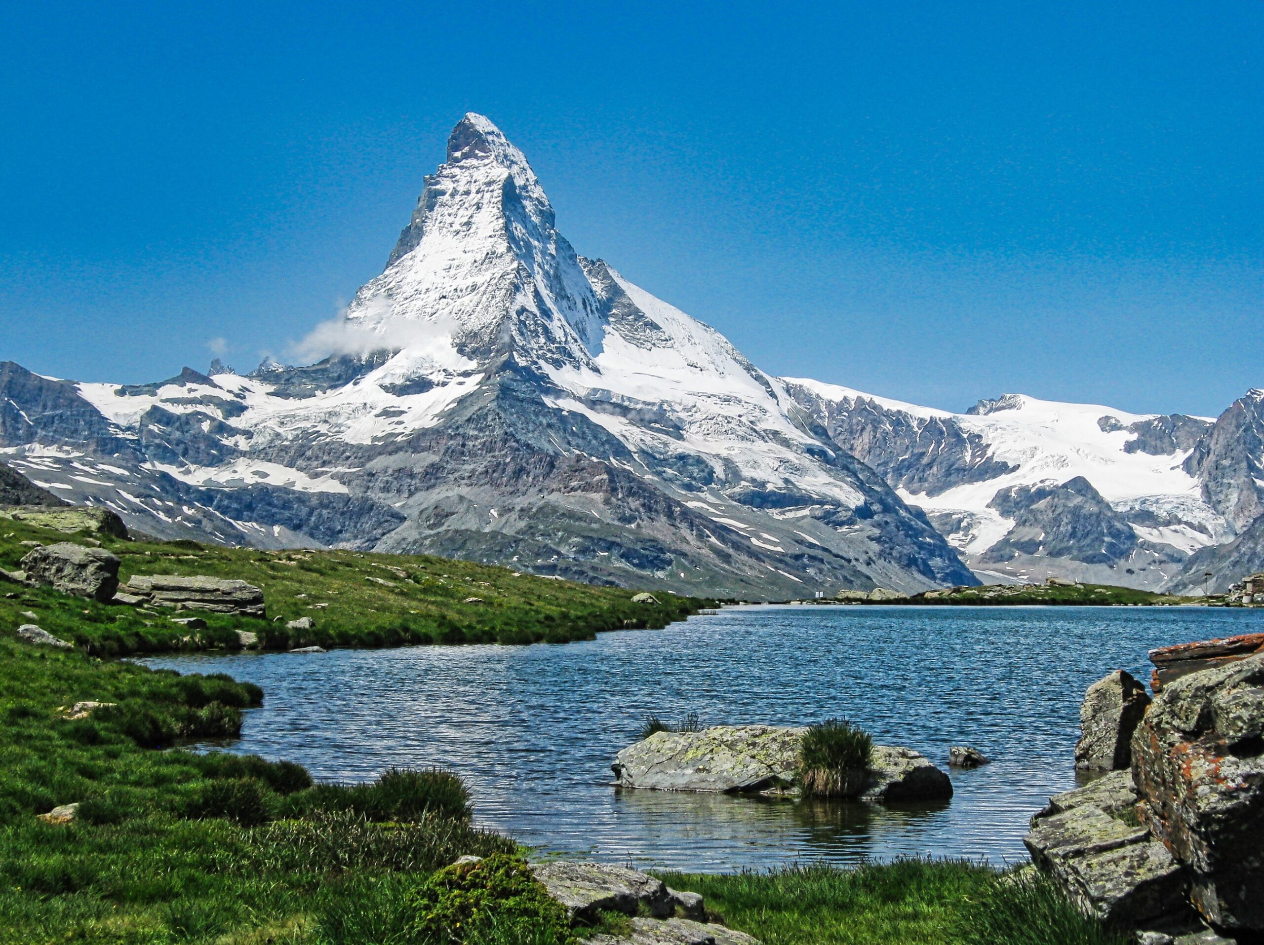
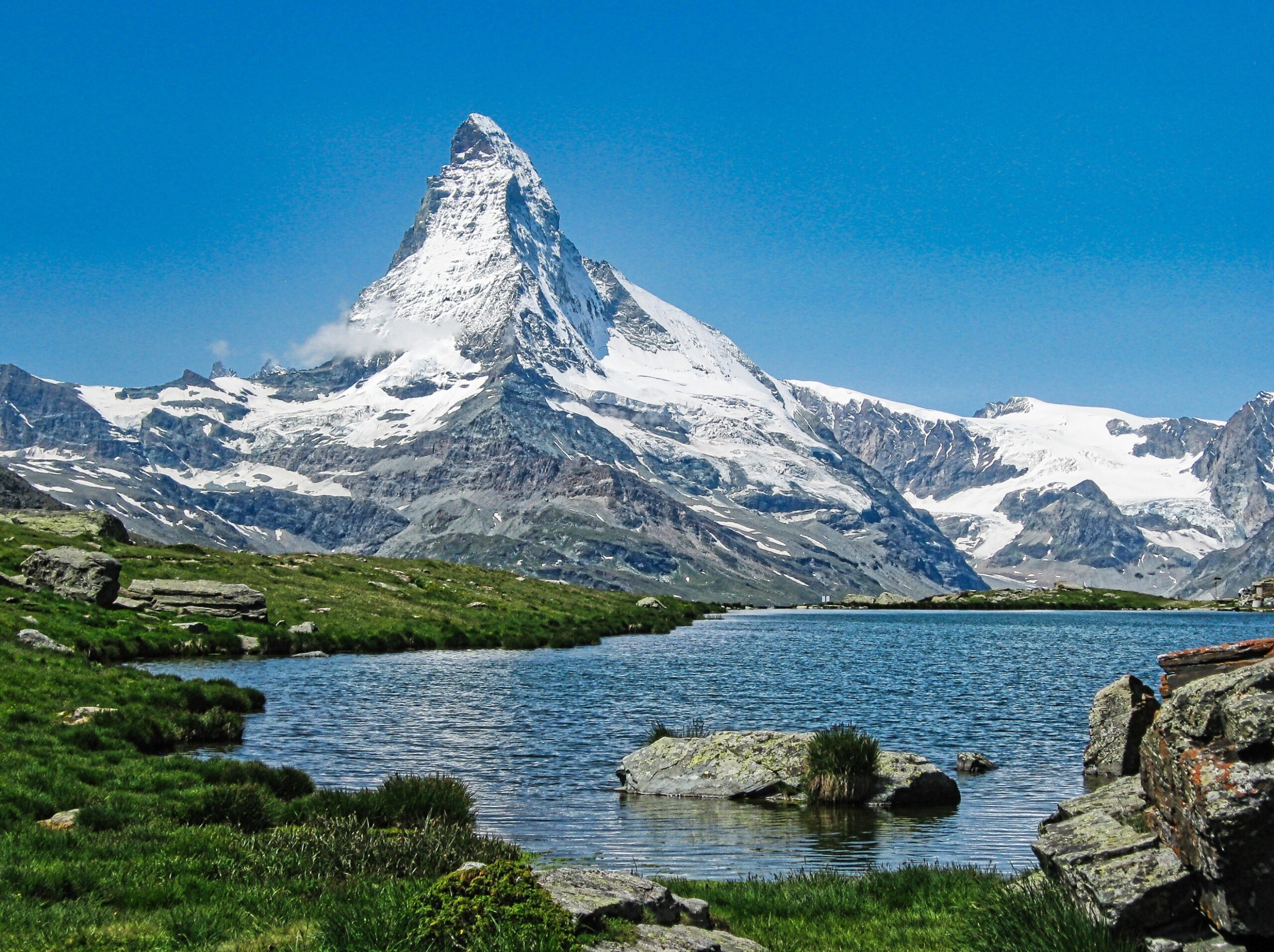
Looking across the Stellisee toward the Matterhorn
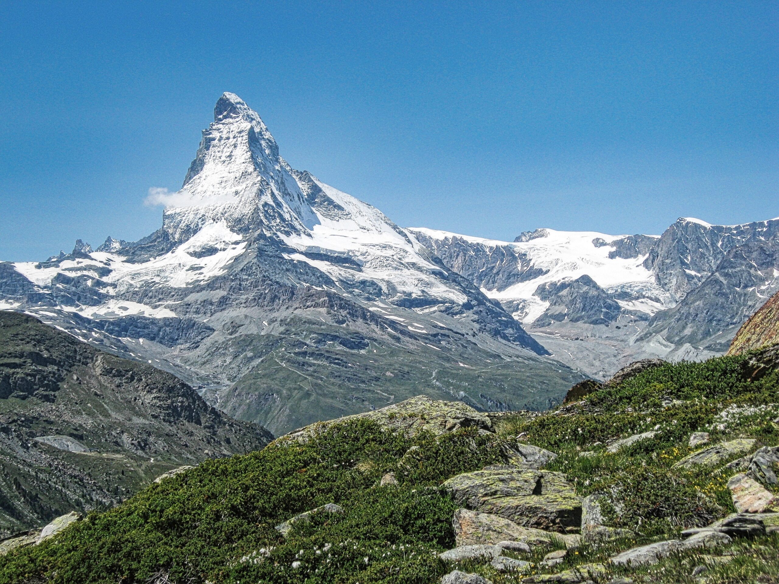
View of the Matterhorn on the hike from Stellisee to the Fluhalp Hütte
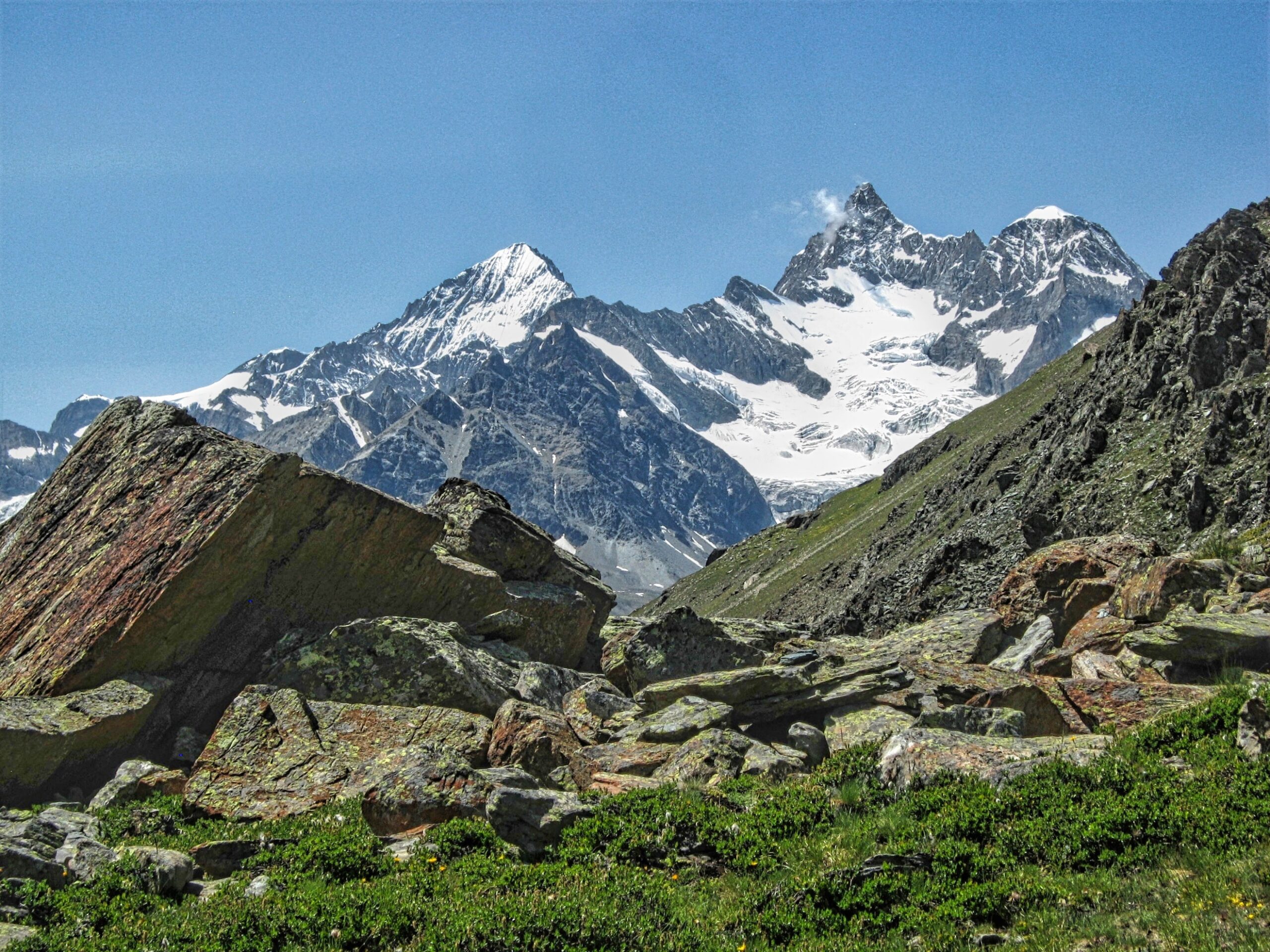
View (left to right) of the Dent Blanche, the Obergabelhorn and Wellenkuppe on the hike from the Stellisee to the Fluhalp Hütte
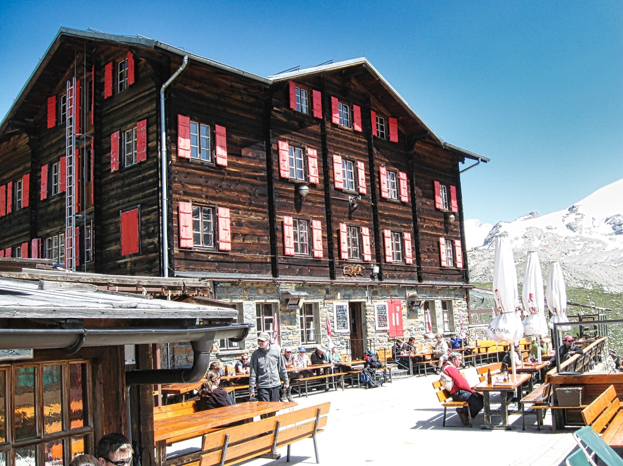
Fluhalp Hütte
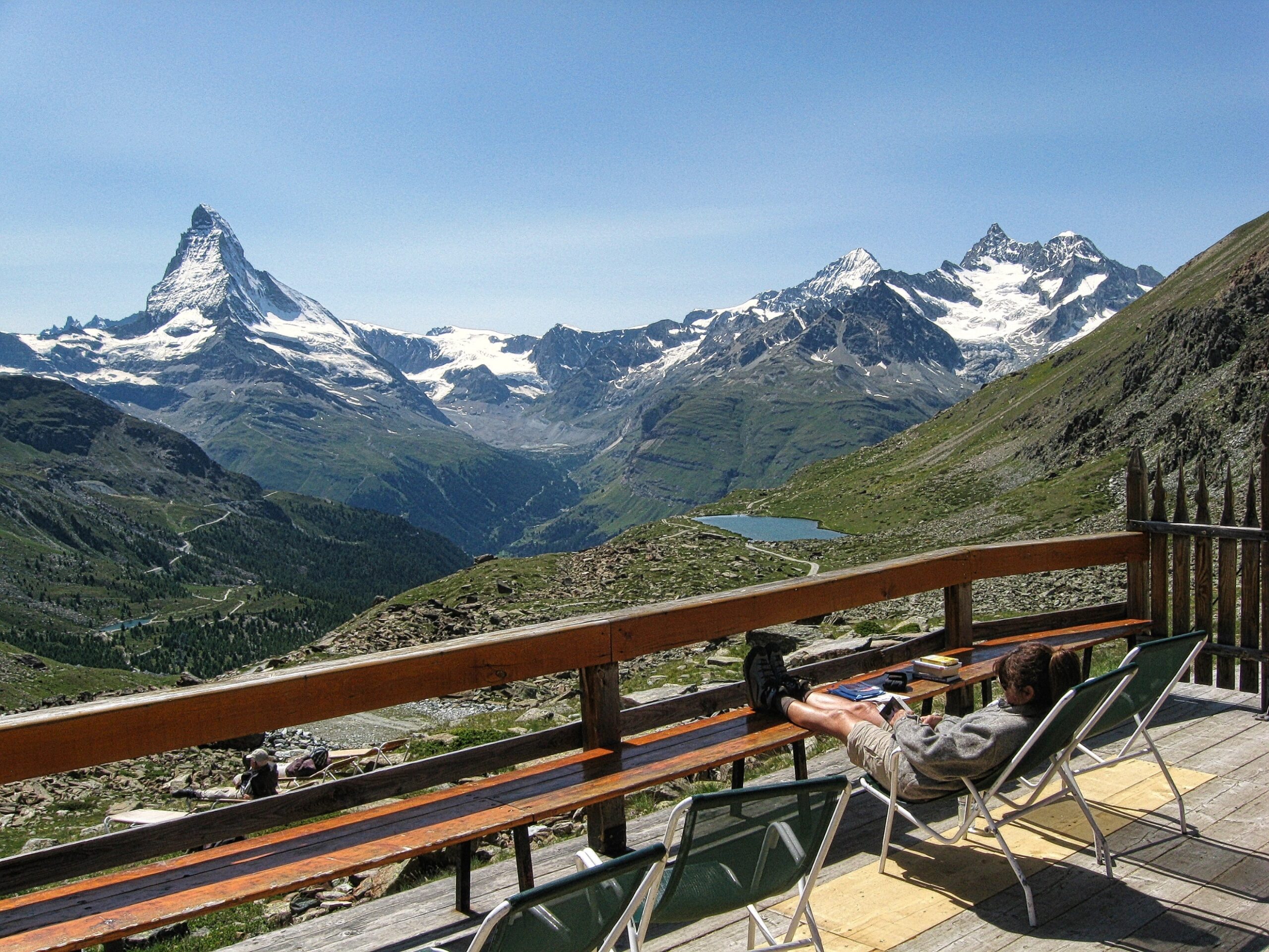
Relaxing on the deck of the Fluhalp Hütte (left to right, the Matterhorn, Stellisee, the Dent Blanche, the Obergabelhorn and Wellenkuppe)
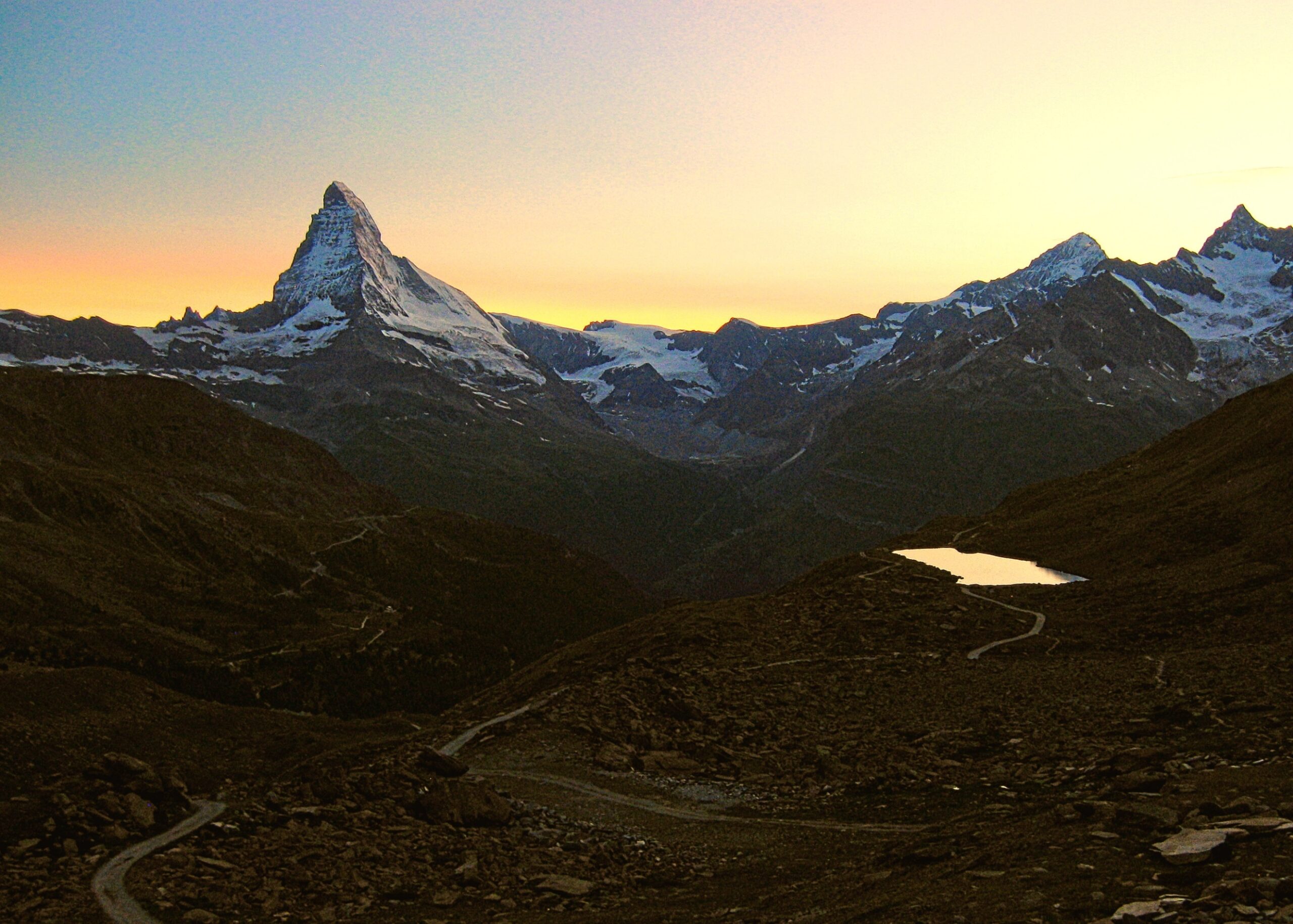
Sunset from the Fluhalp Hütte (left to right), the Matterhorn, the Stellisee, the Dent Blanche and the Obergabelhorn
Monte Rosa Hut (9170ft)
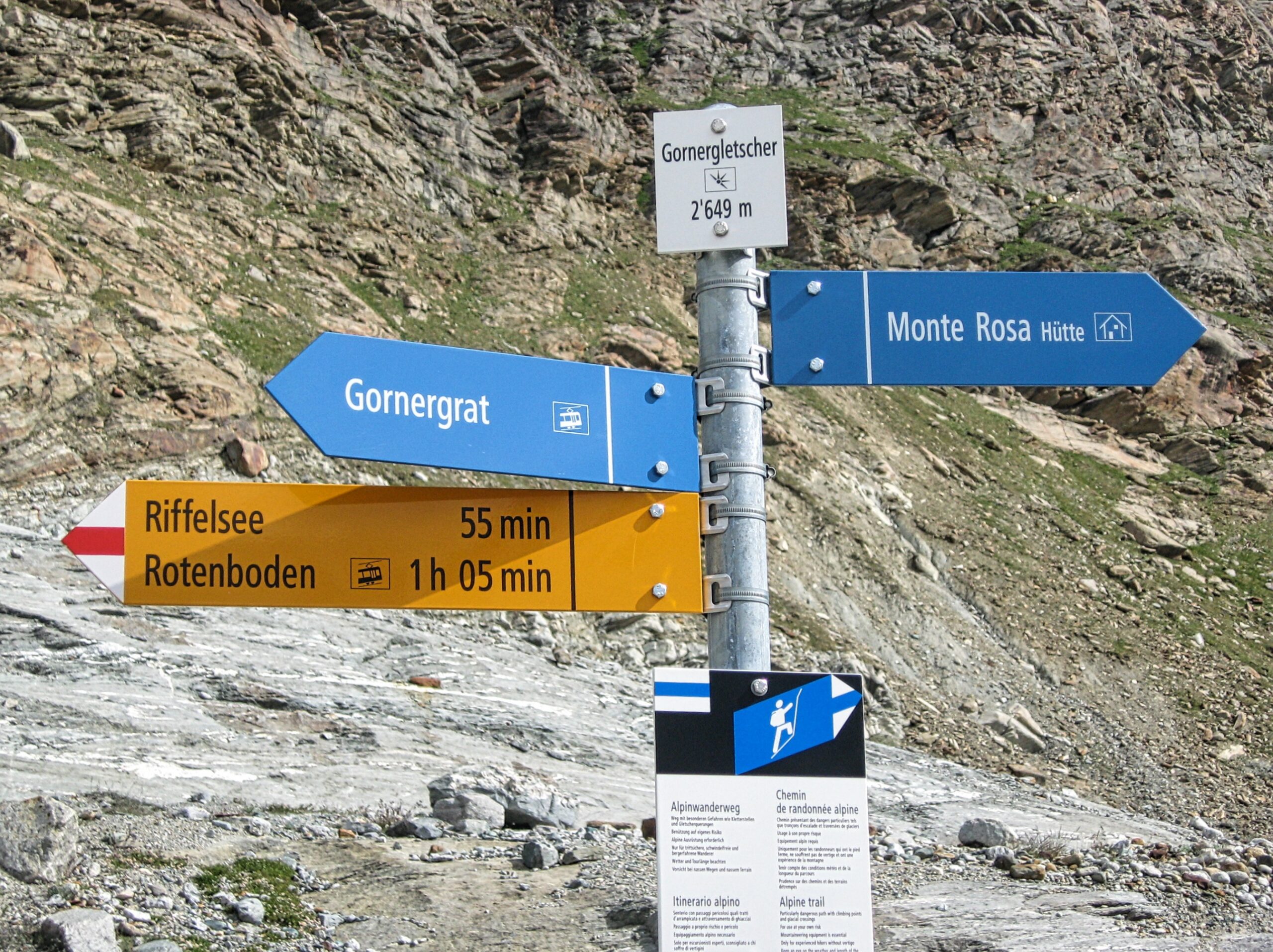
Trail sign marking the route from the Gornergrat to the Monte Rosa Hut
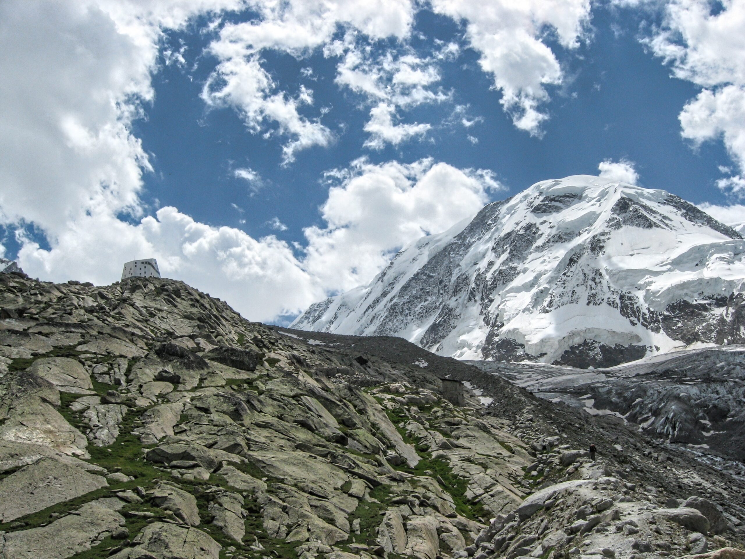
The Grenz Glacier and Liskamm from the Gornergrat (the Monte Rosa Hut is visible about an inch left of the center of the picture on the prominent knoll)
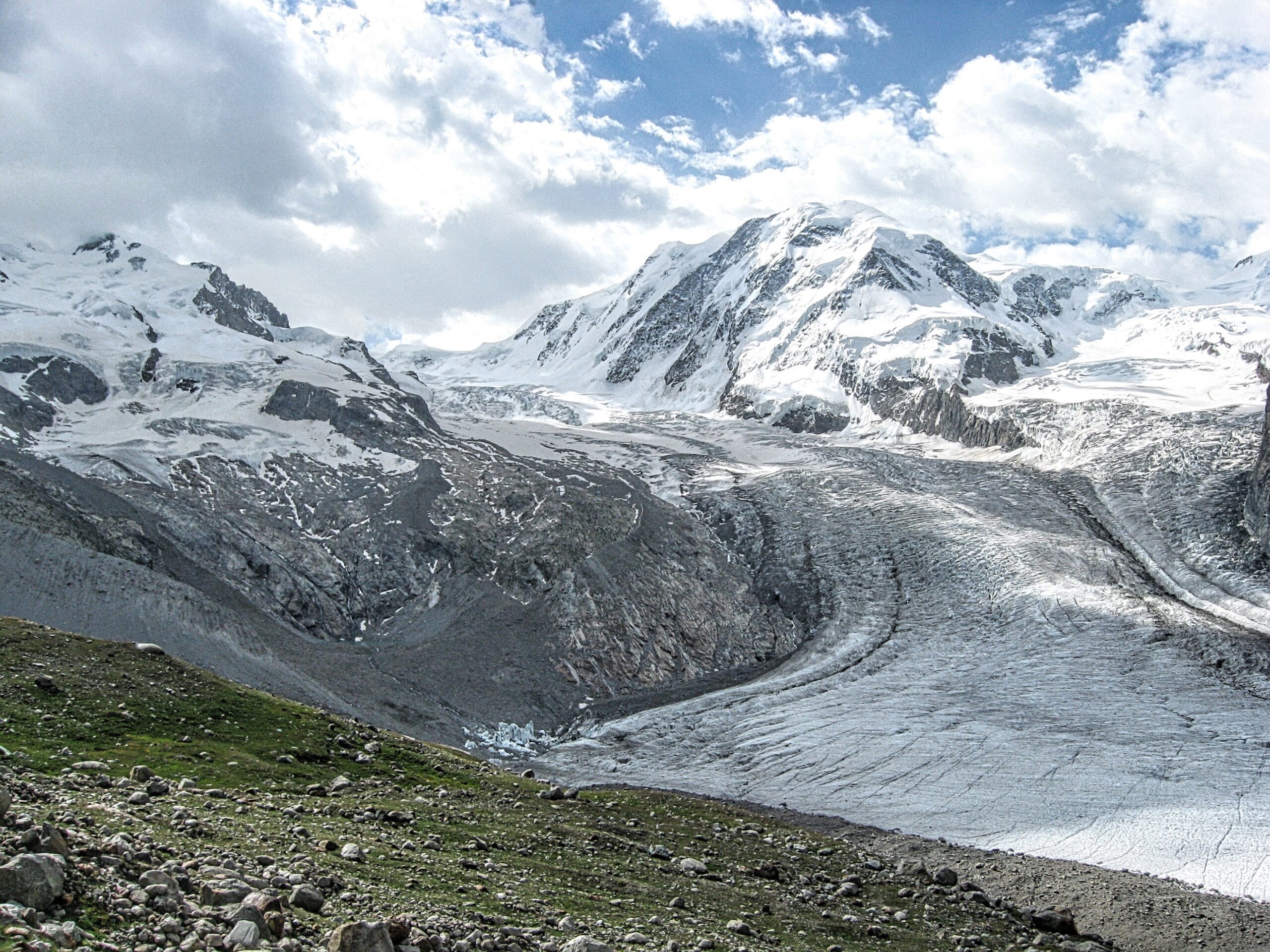
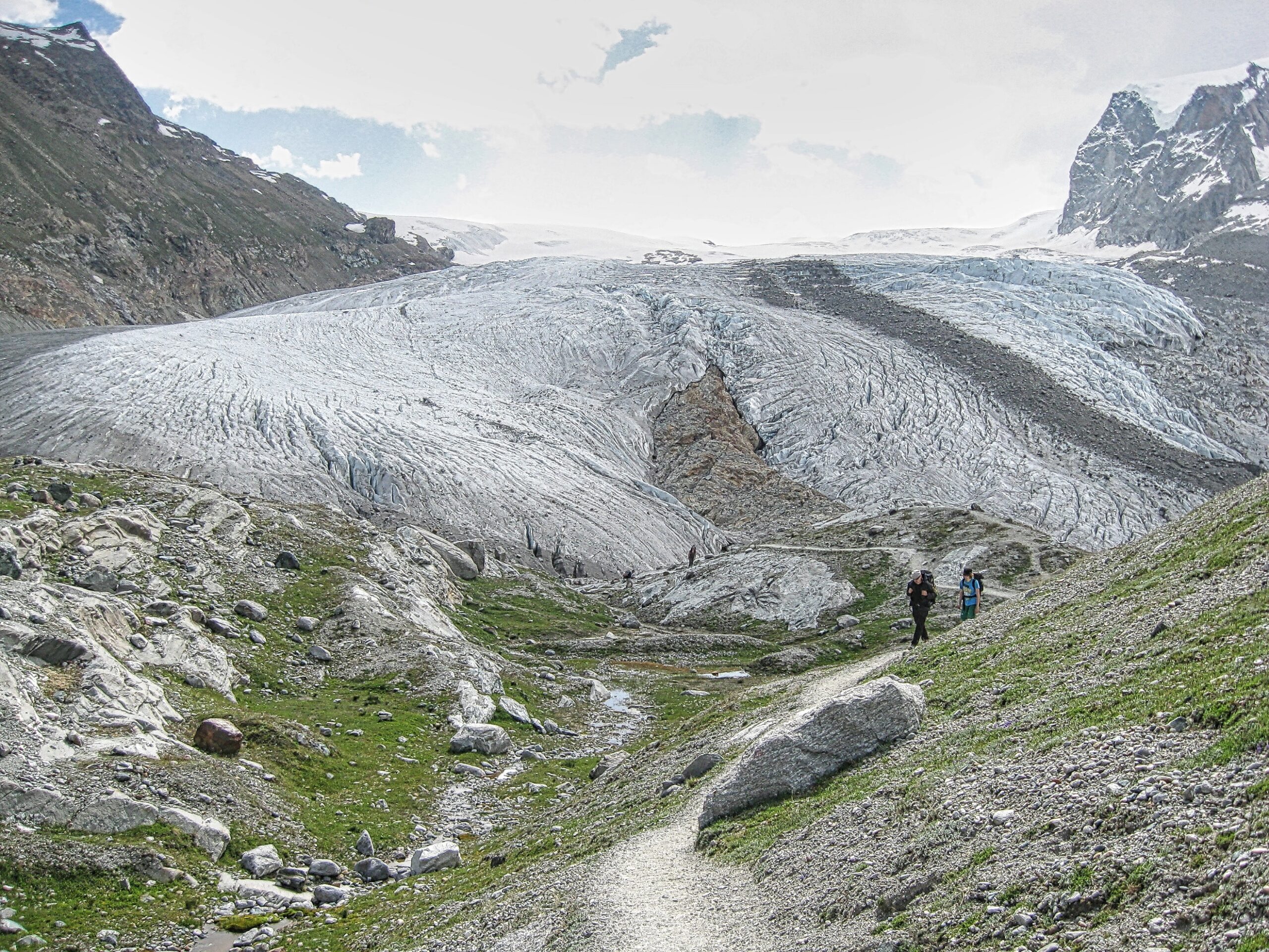
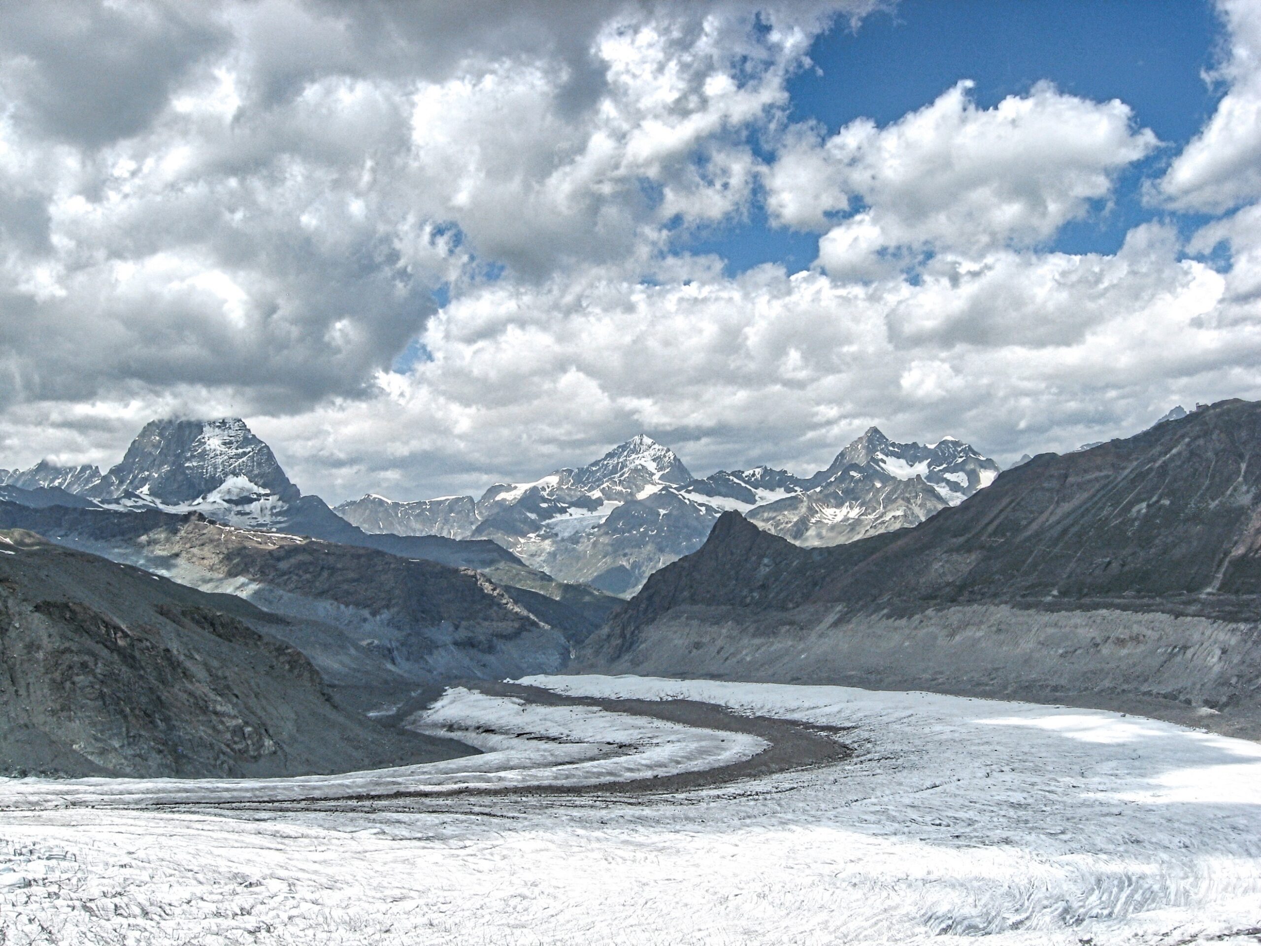
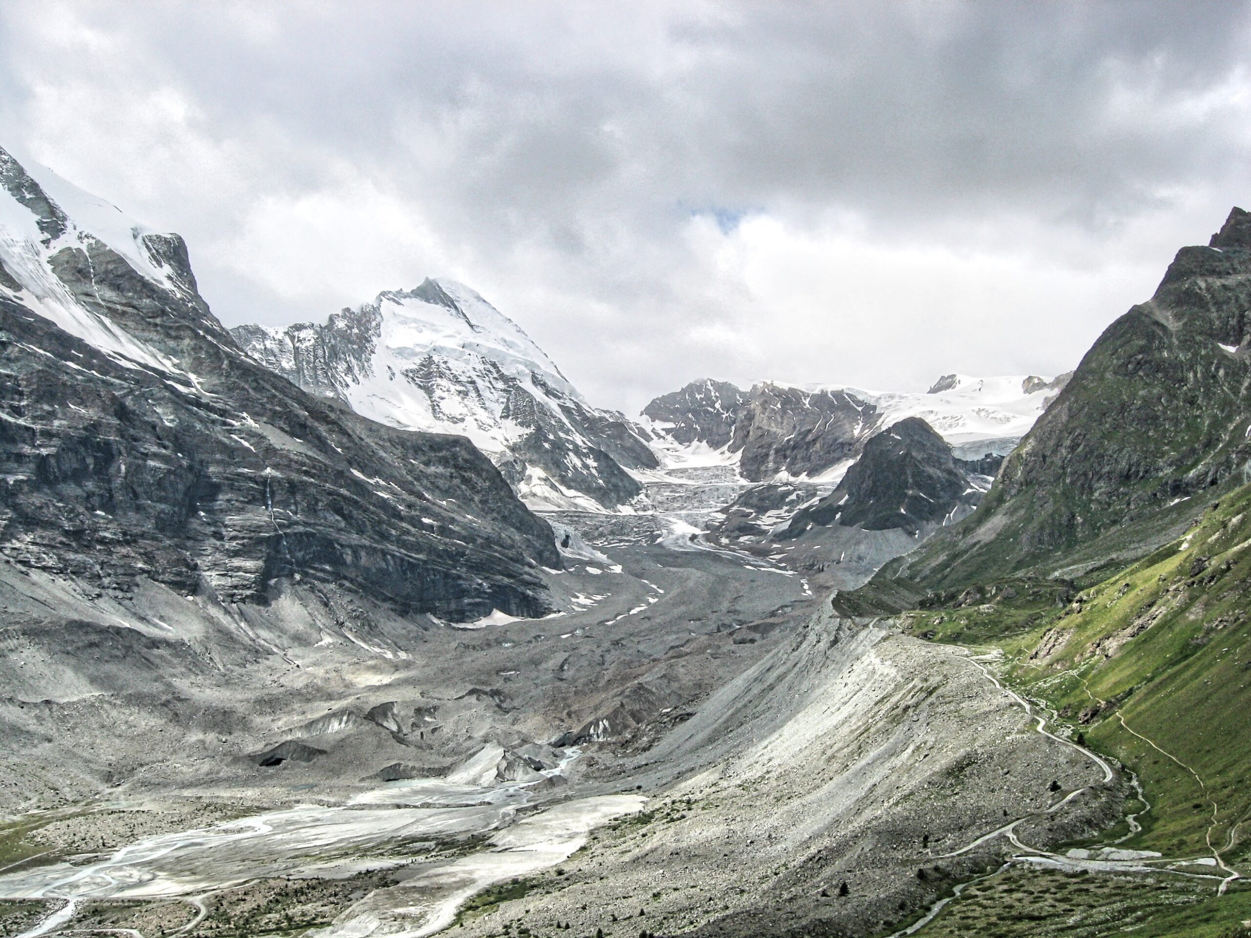
The Gorner Glacier as seen from the trail to the Monte Rosa Hut
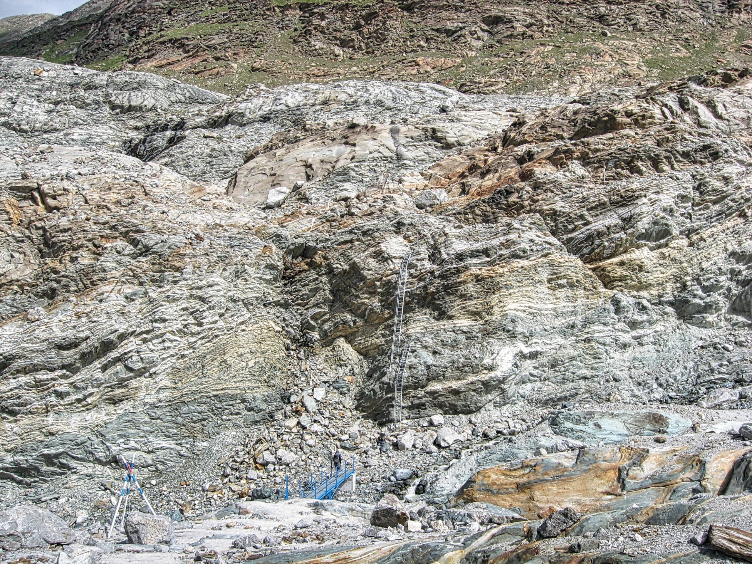
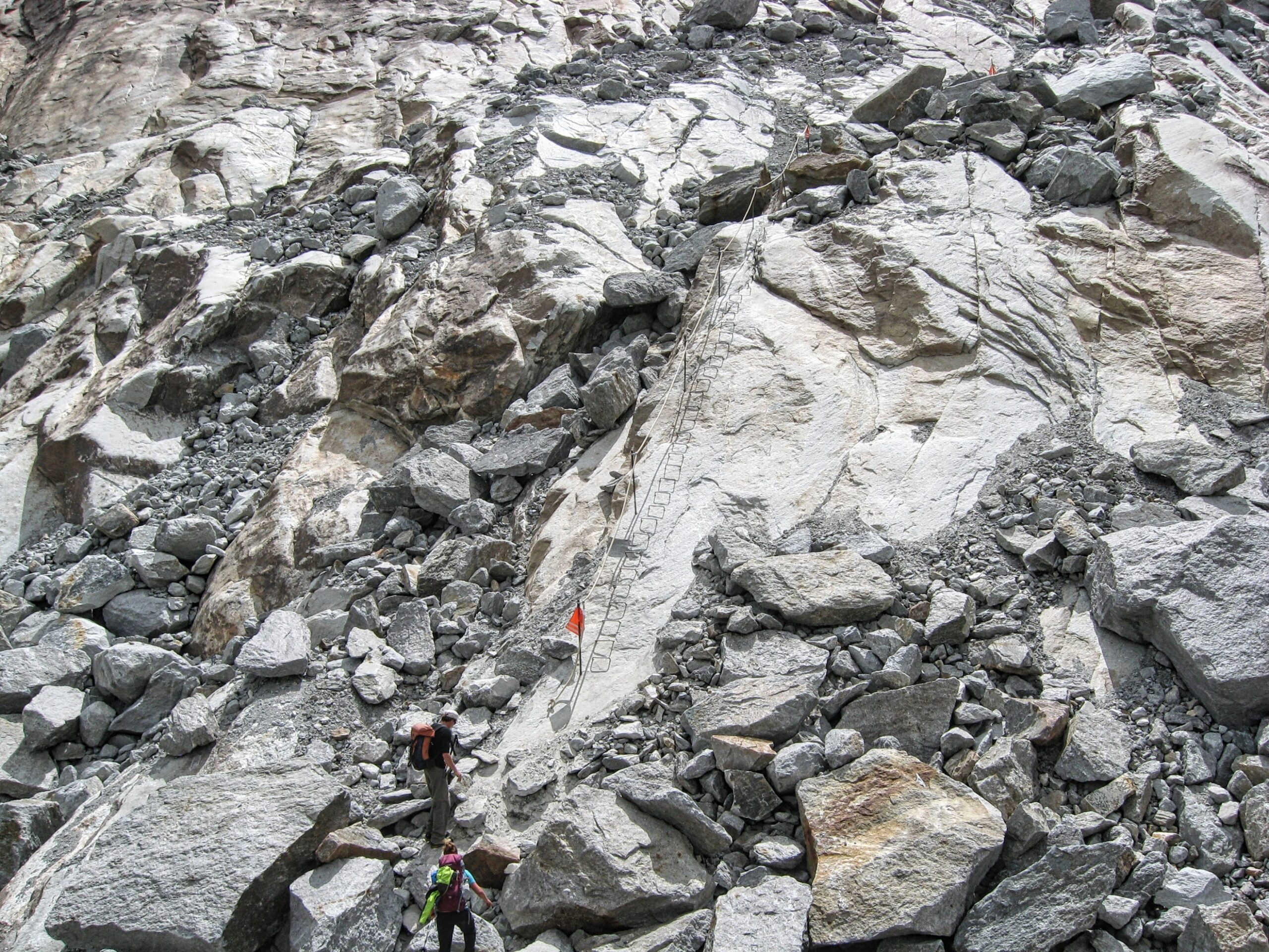
Ladders aid the climb down a vertical section of trail above the Gorner Glacier
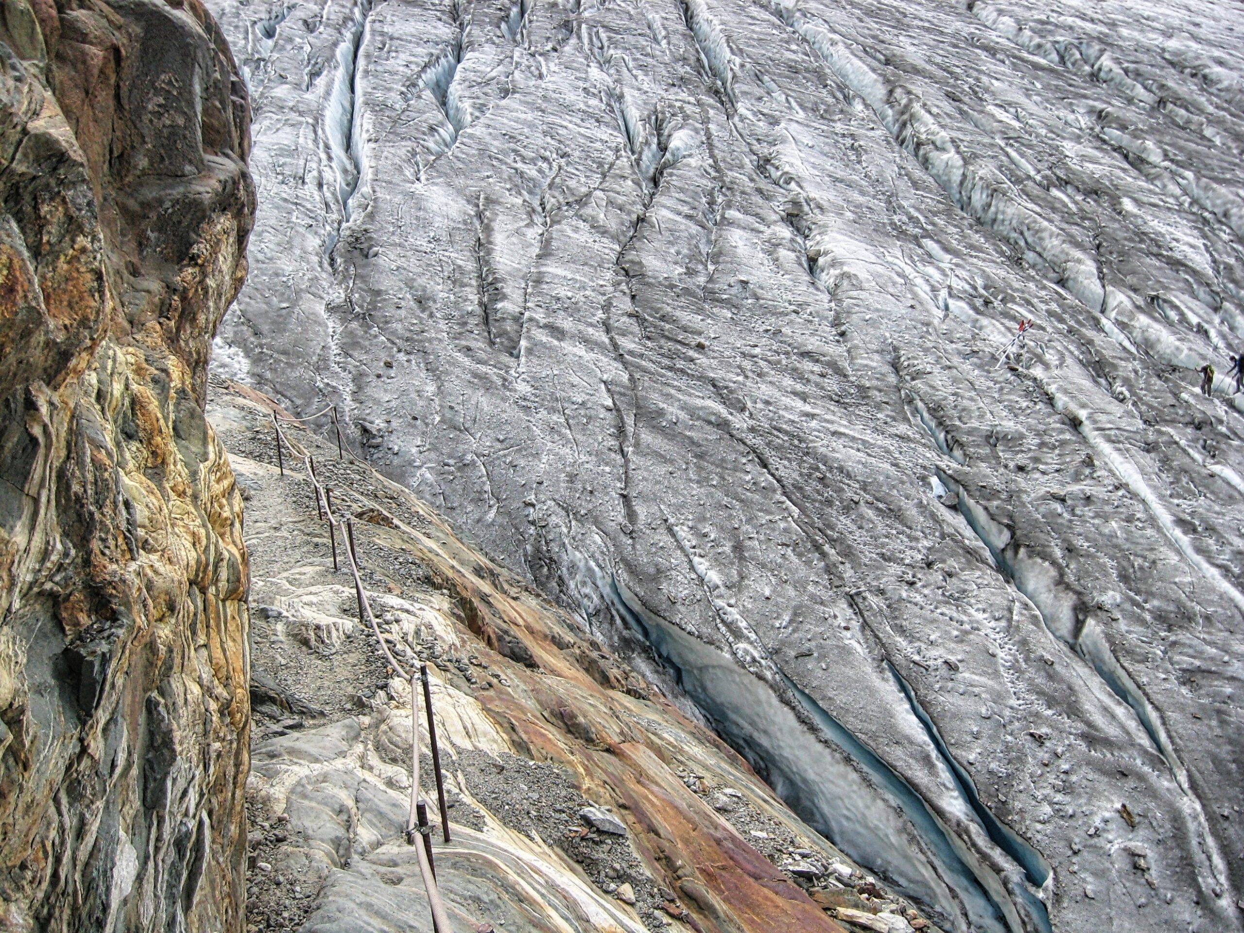
The trail leading down to the Gorner Glacier is carved into the rock
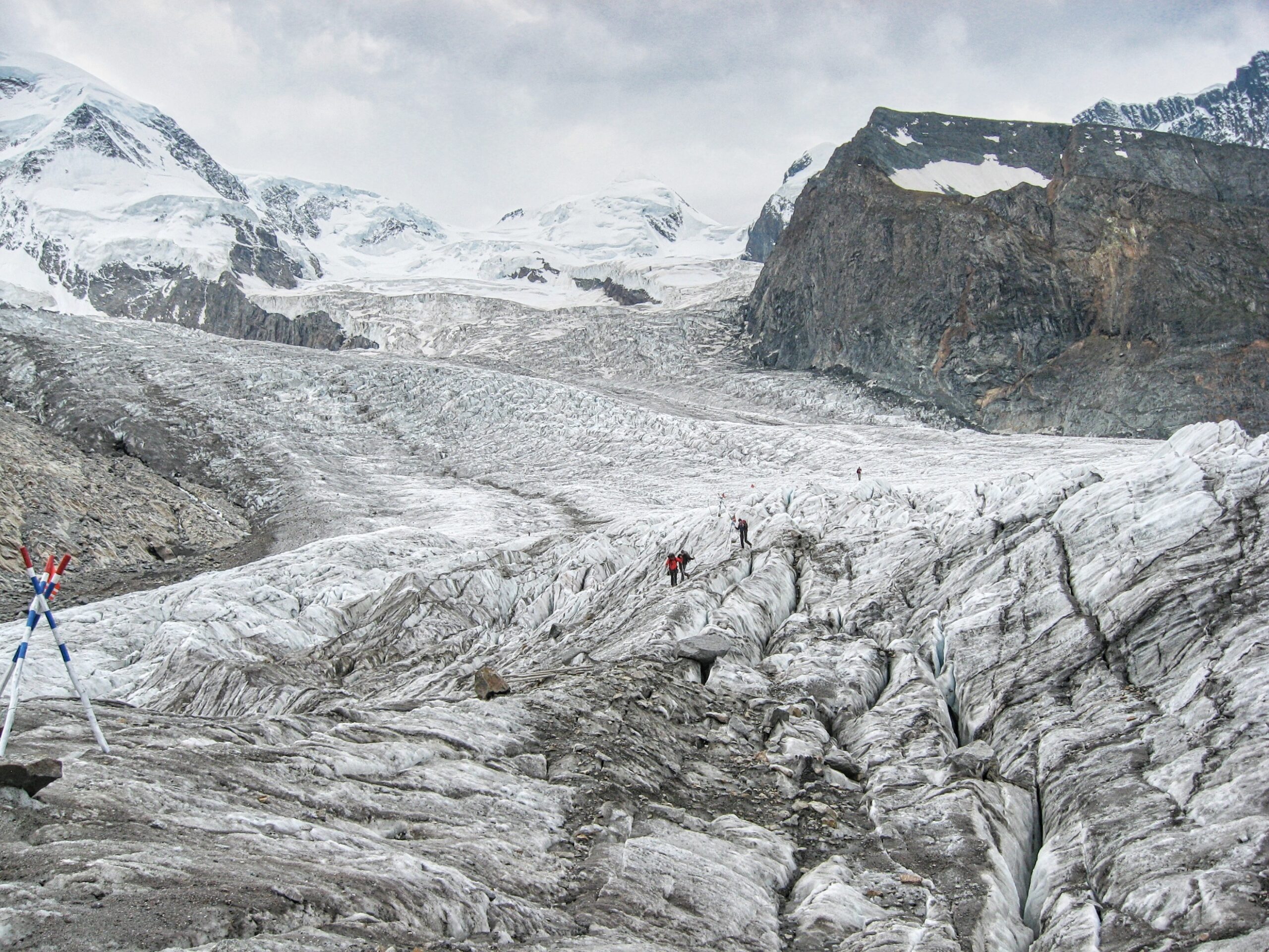
After crossing the Gorner Glacier the route follows the blue and white markers (left) up the Grenz Glacier before climbing the steep rocky slope (left) to the hut
The ladders leading up off the Grenz Glacier at the start of the final climb to the Monte Rosa Hut
The Monte Rosa Hut (left) Liskamm towers above (right)
View from below the Monte Rosa Hut down the Gorner Glacier toward (left to right) the Matterhorn, the Dent Blanche the Obergabelhorn and Wellenkuppe
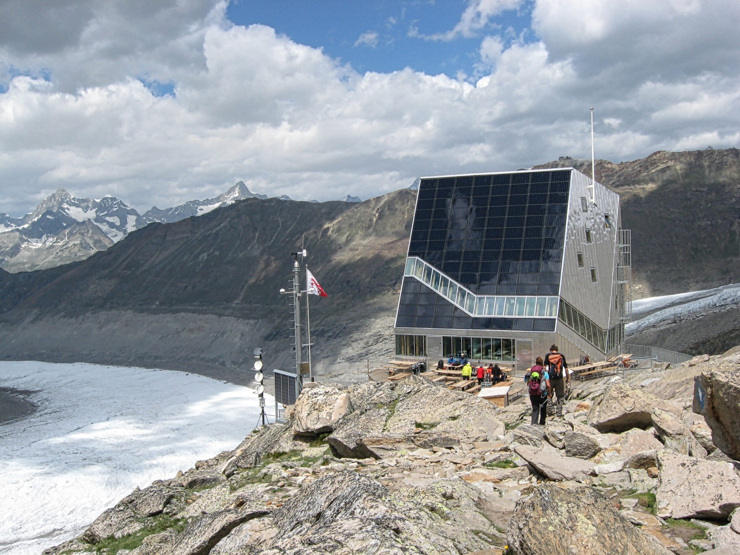
The Monte Rosa Hut high above the Gorner Glacier
Rothorn Hut (10,531ft)
The route from Zermatt to the Rothorn Hut climbs a total of 5,216 feet
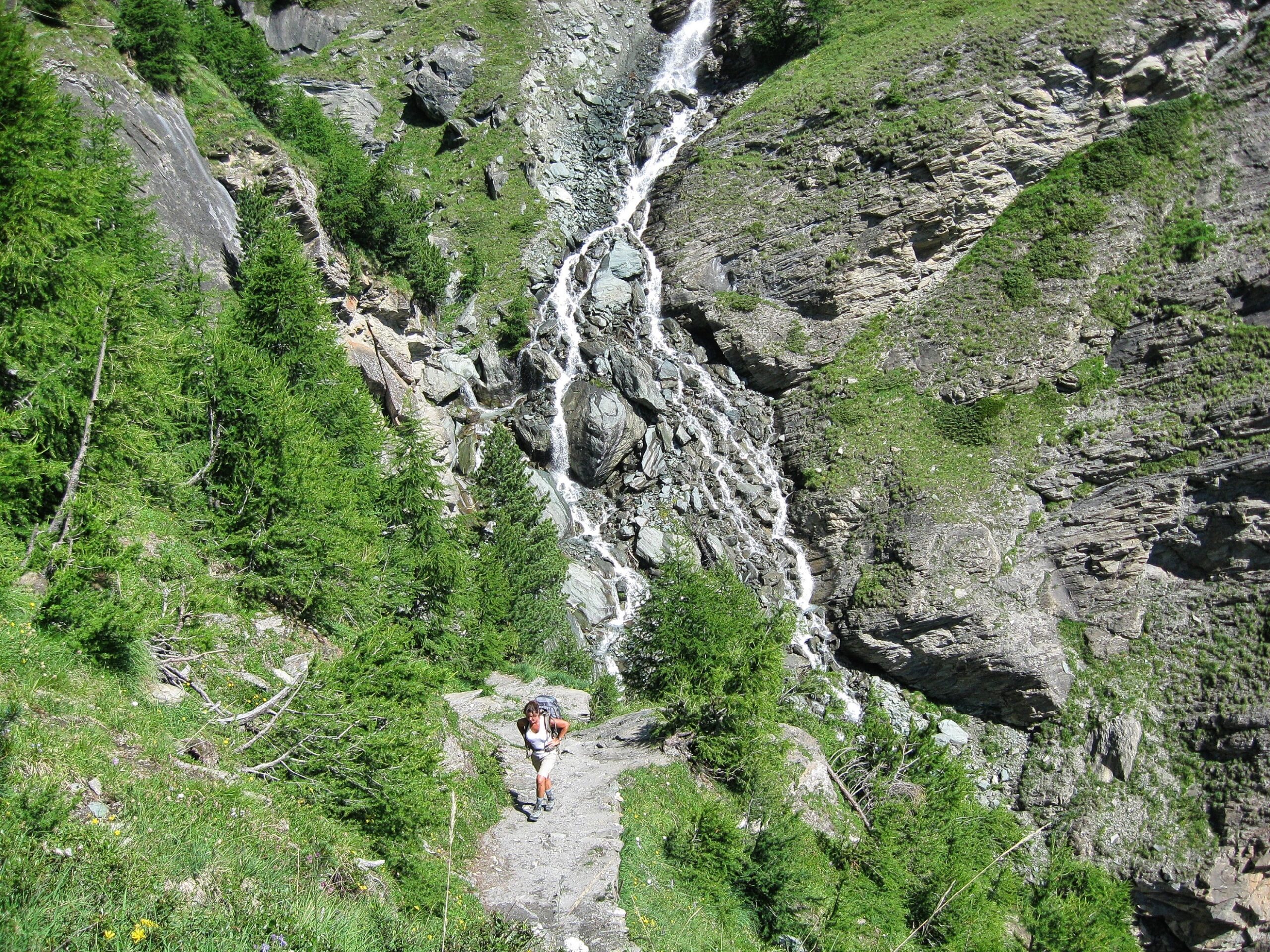
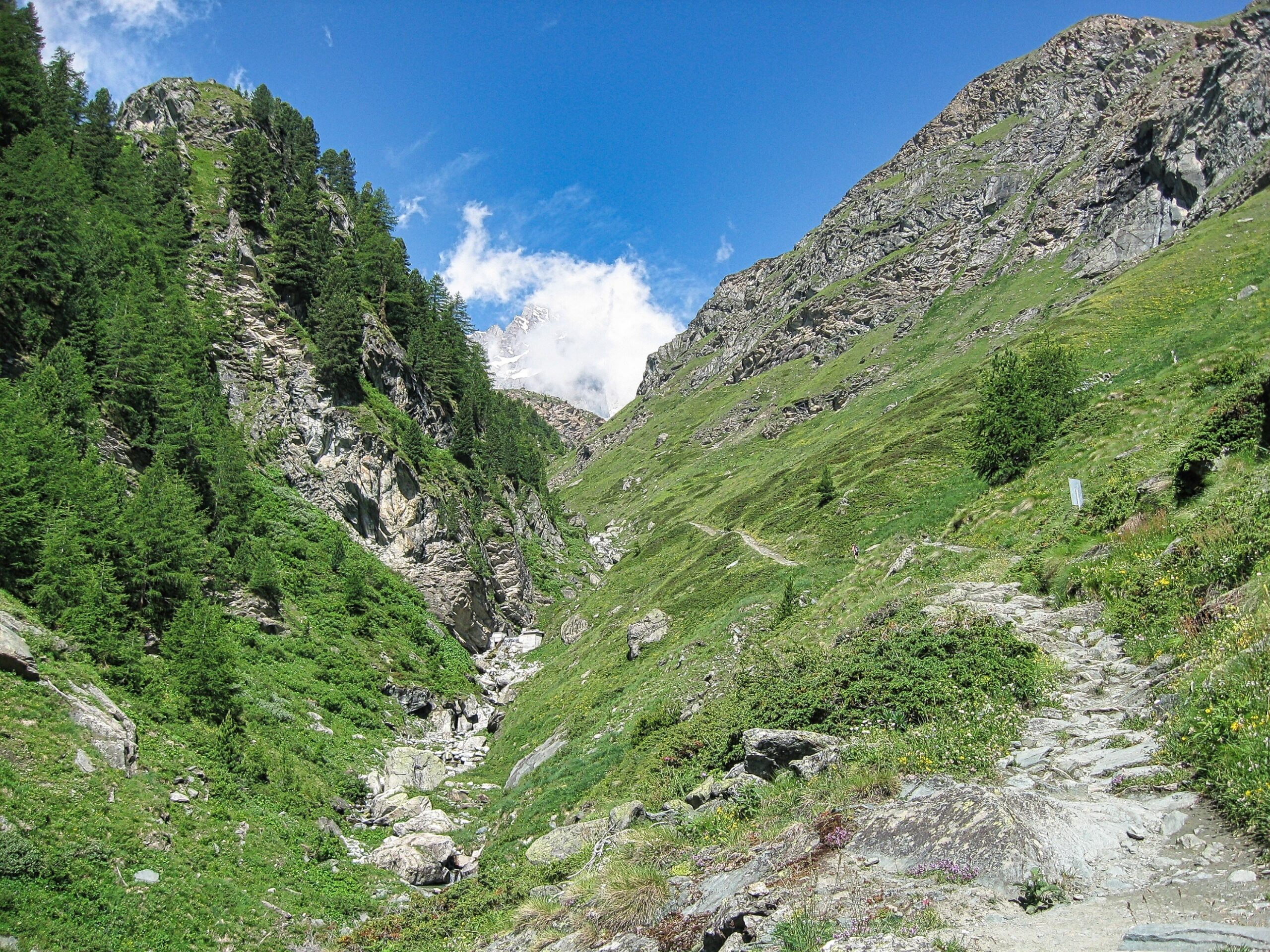
The trail starts in Zermatt and climbs to the Alterhaupt viewpoint, then continues up the Triftboch gorge before arriving at the Hotel du Trift
The trail eases as it nears the Hotel du Trift and Wellenkuppe comes into view at the head of the valley
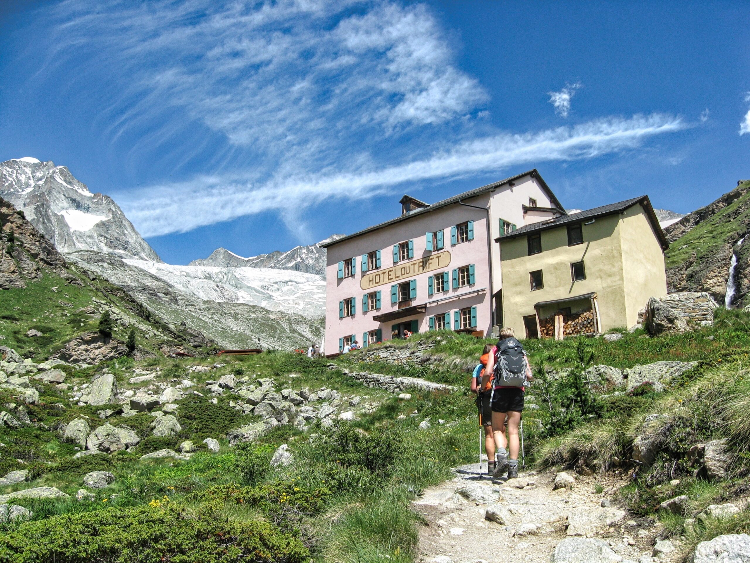
Arriving at the Hotel du Trift (7667 ft), Wellenkuppe is on the far left and the Trifthorn is just to the right
Visitors to the Hotel du Trift enjoy an afternoon alphorn concert
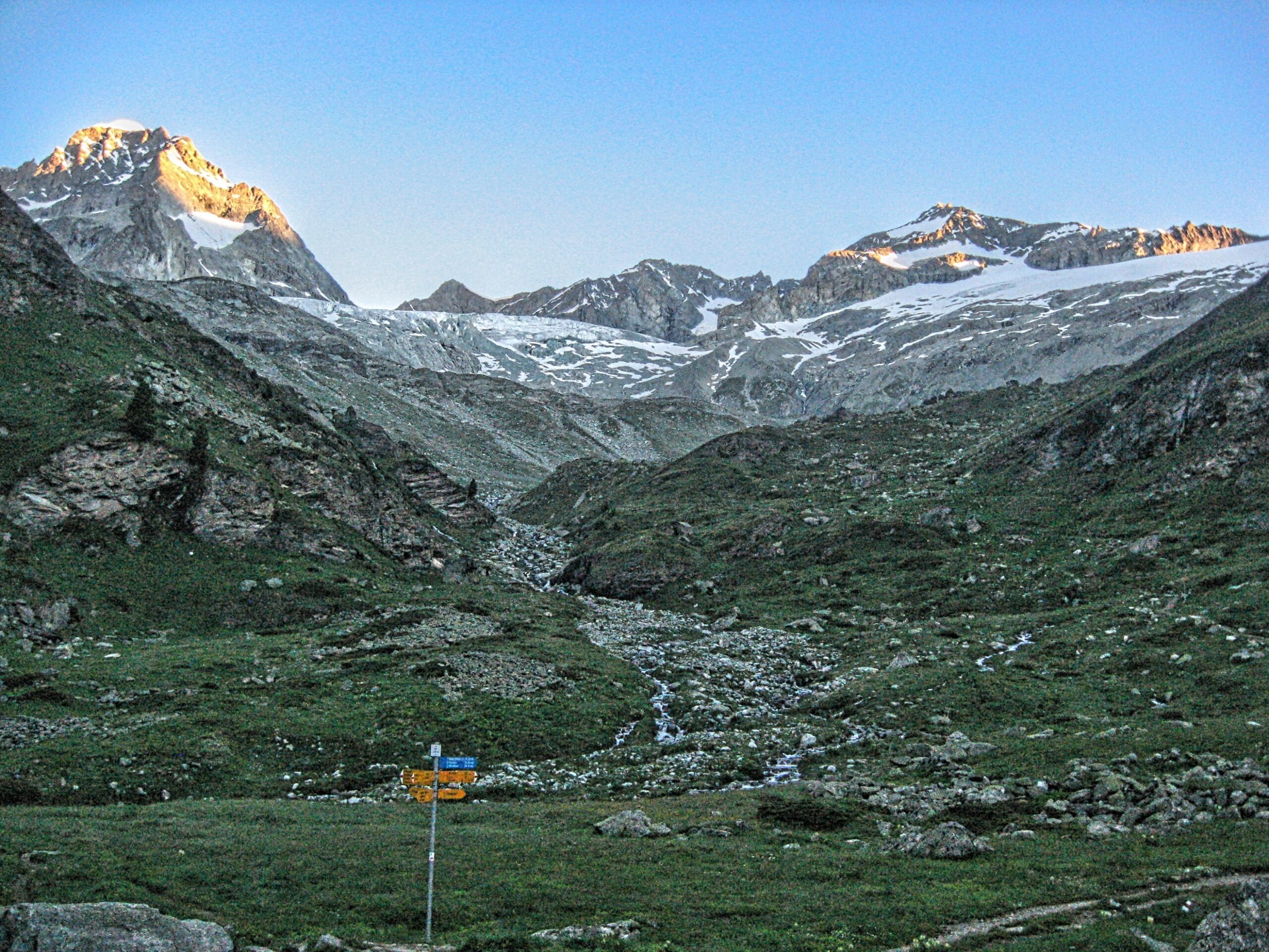
Early morning light at the Hotel du Trift (left to right, Wellenkuppe, the Trifthorn, the Pointe du Trift and the Zinalrothorn)
Starting the climb up the glacial moraine toward the Rothorn Hut
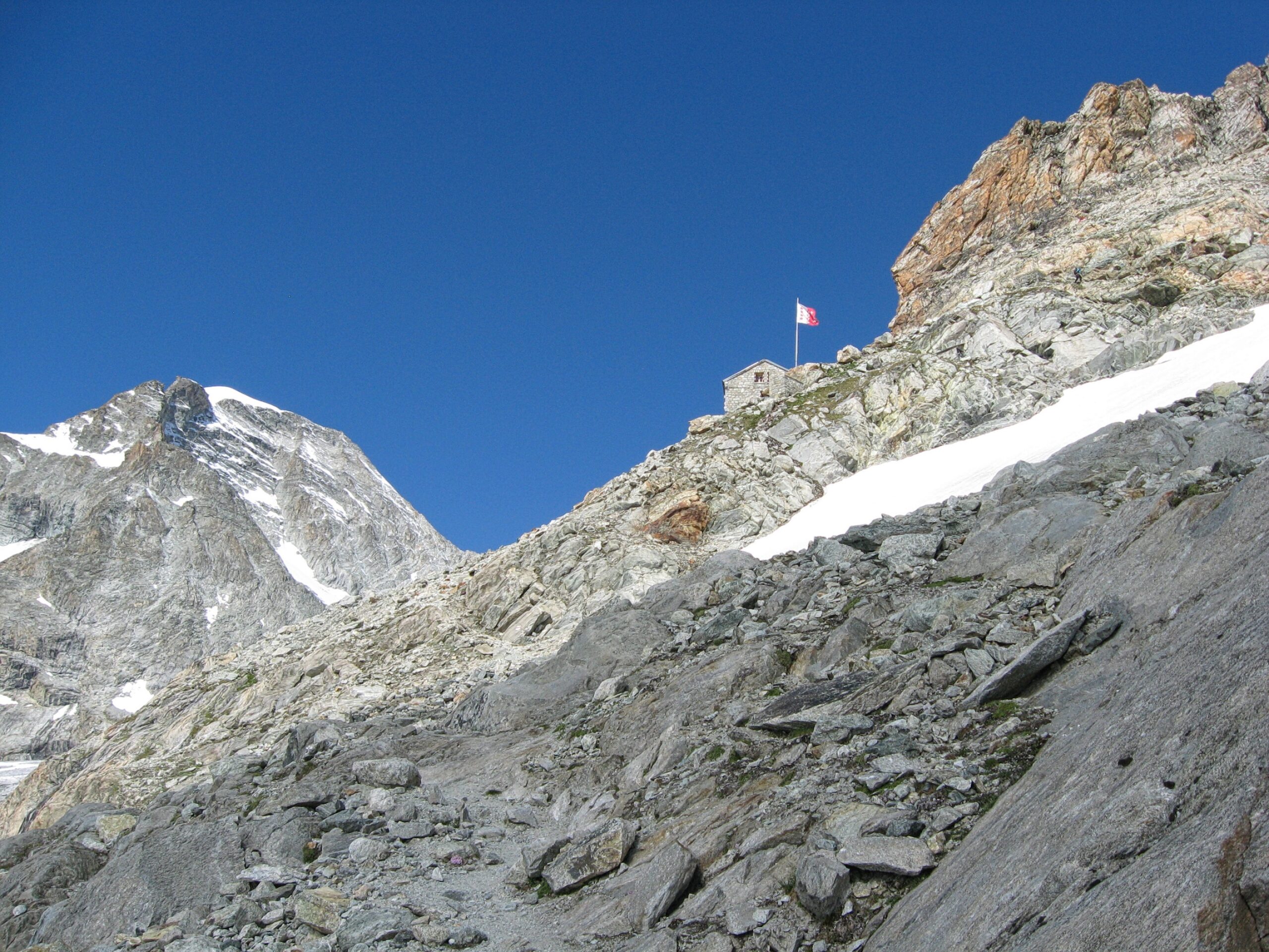
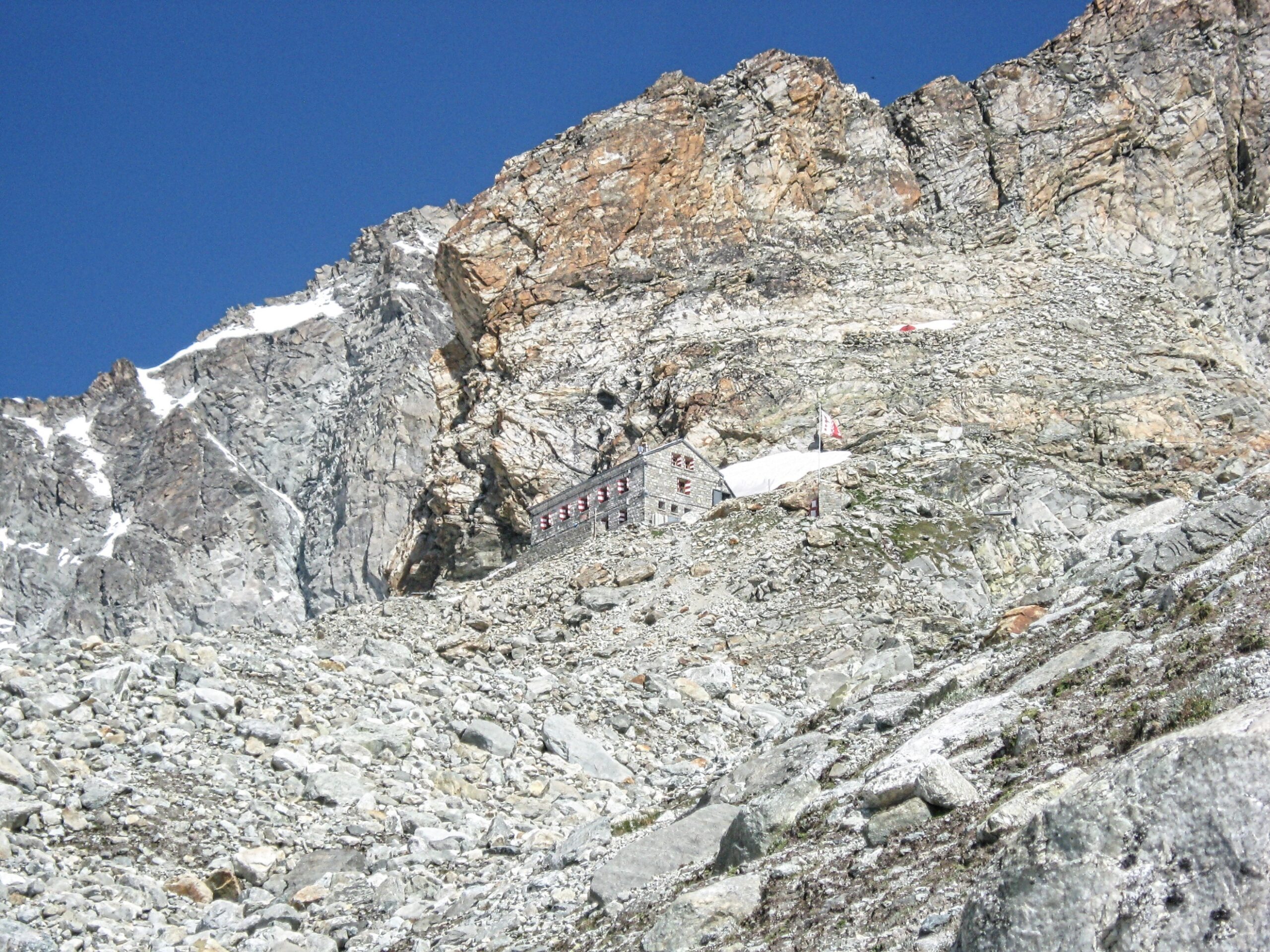
The Rothorn Hut situated on the southeast ridge of the Zinalrothorn
View of the Matterhorn from the Rothorn Hut
Schönbiel Hut (8839ft)
A trail marker at the Höhbalmen (8743ft) points the way on the route from the Hotel du Trift to the Schönbiel Hut
The Hotel du Trift in the morning clouds (the route to the Schönbiel Hut crosses the ridge to the right and climbs to the Höhbalmen)
View of the Matterhorn from near the Höhbalmen
The trail continues on across a high grassy hillside and then descends to Arben Glen before continuing up the Zmutt valley (the Dent Herens is center-left)
Hiking alongside the lateral moraine of the Zmutt Glacier on the way to the Schönbiel Hut
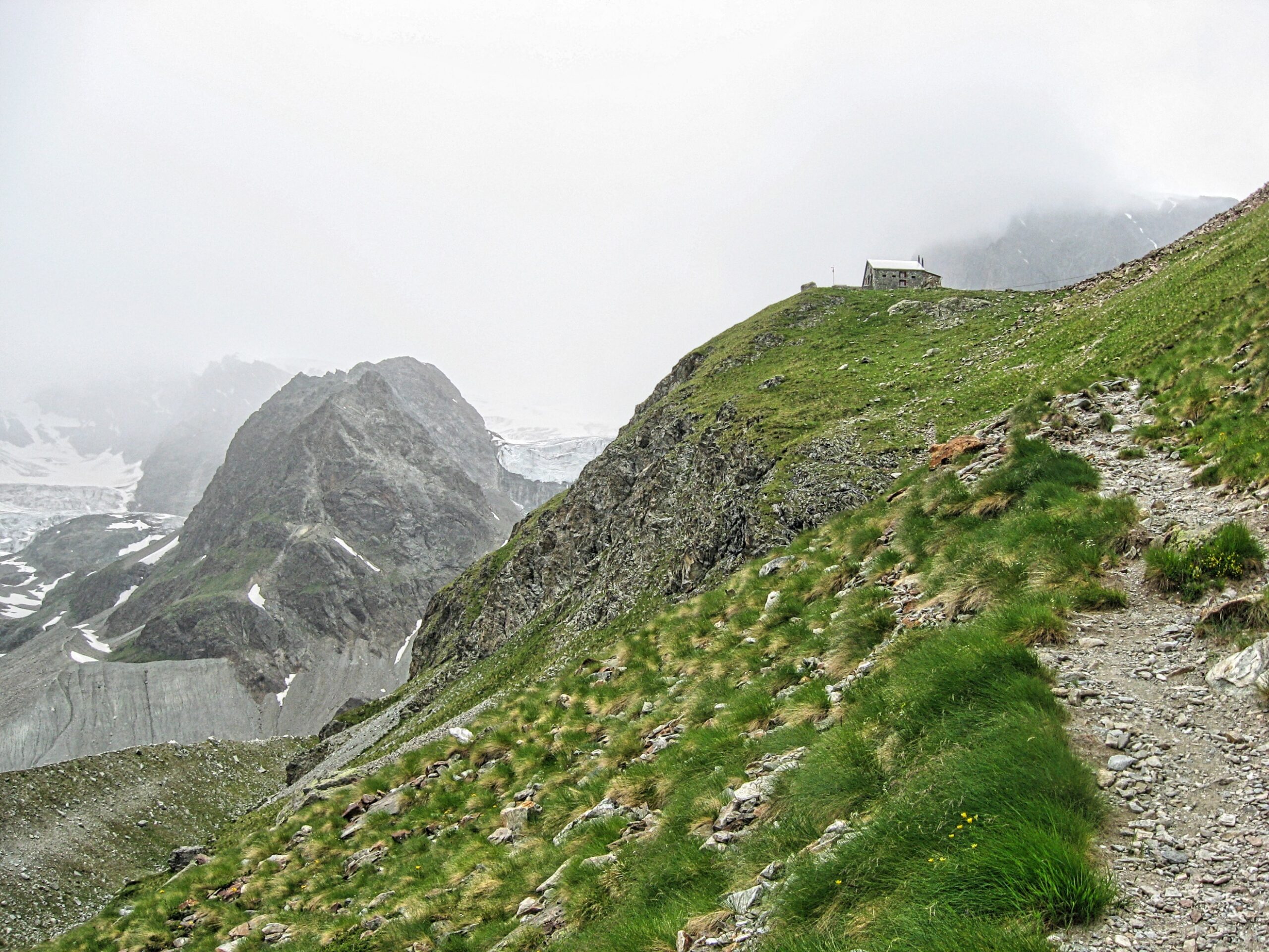
The Schönbiel Hut sits on a knoll high above the Zmutt Glacier (the rock promontory to the left of the hut is the Stockji)
The Matterhorn dominates the view from the Schönbiel Hut (the Zmutt ridge is the prominent ridge center-right leading to the summit)
The Hörnli Hut (10,696ft)
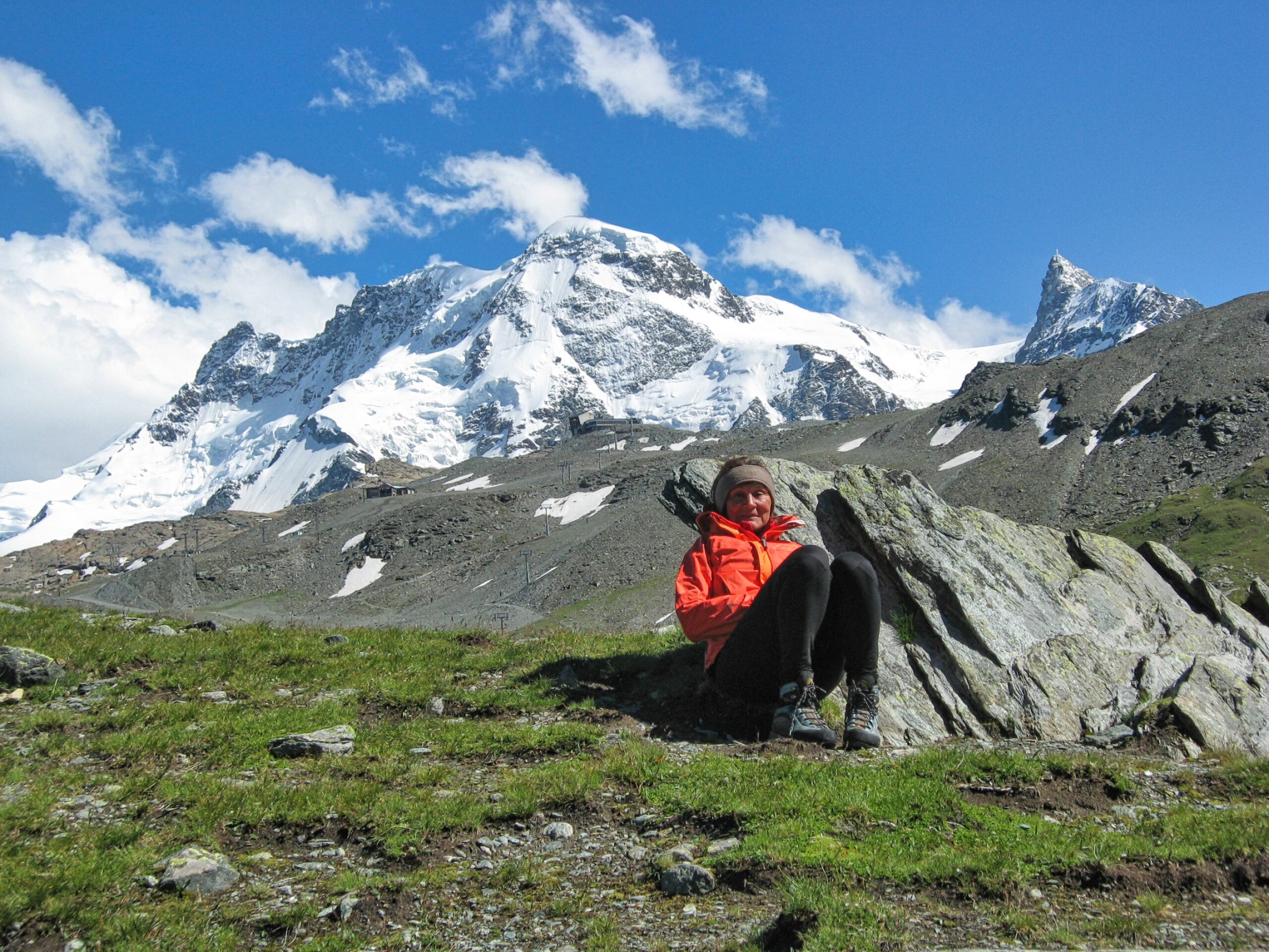
Katherine takes a break at Schwarzsee (8474ft) before hiking to the Hörnli Hut (the Breithorn looms overhead)
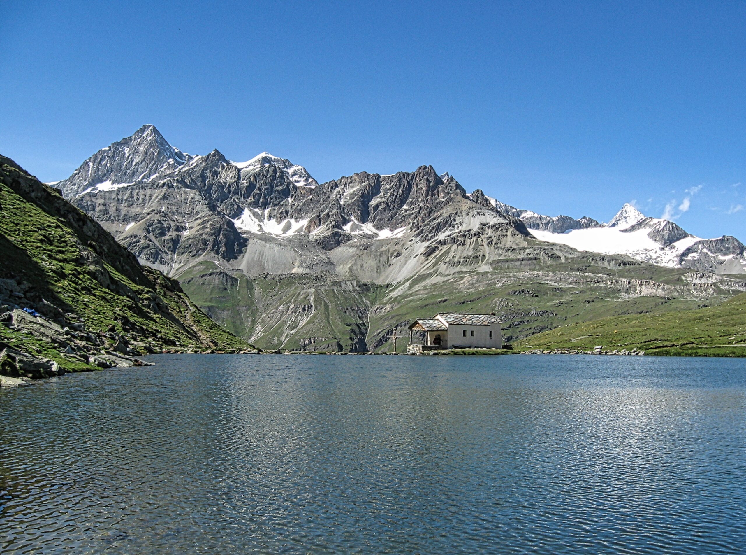
The chapel at Schwarzsee along the route to the Hörnli Hut (upper left the Dent Blanche)
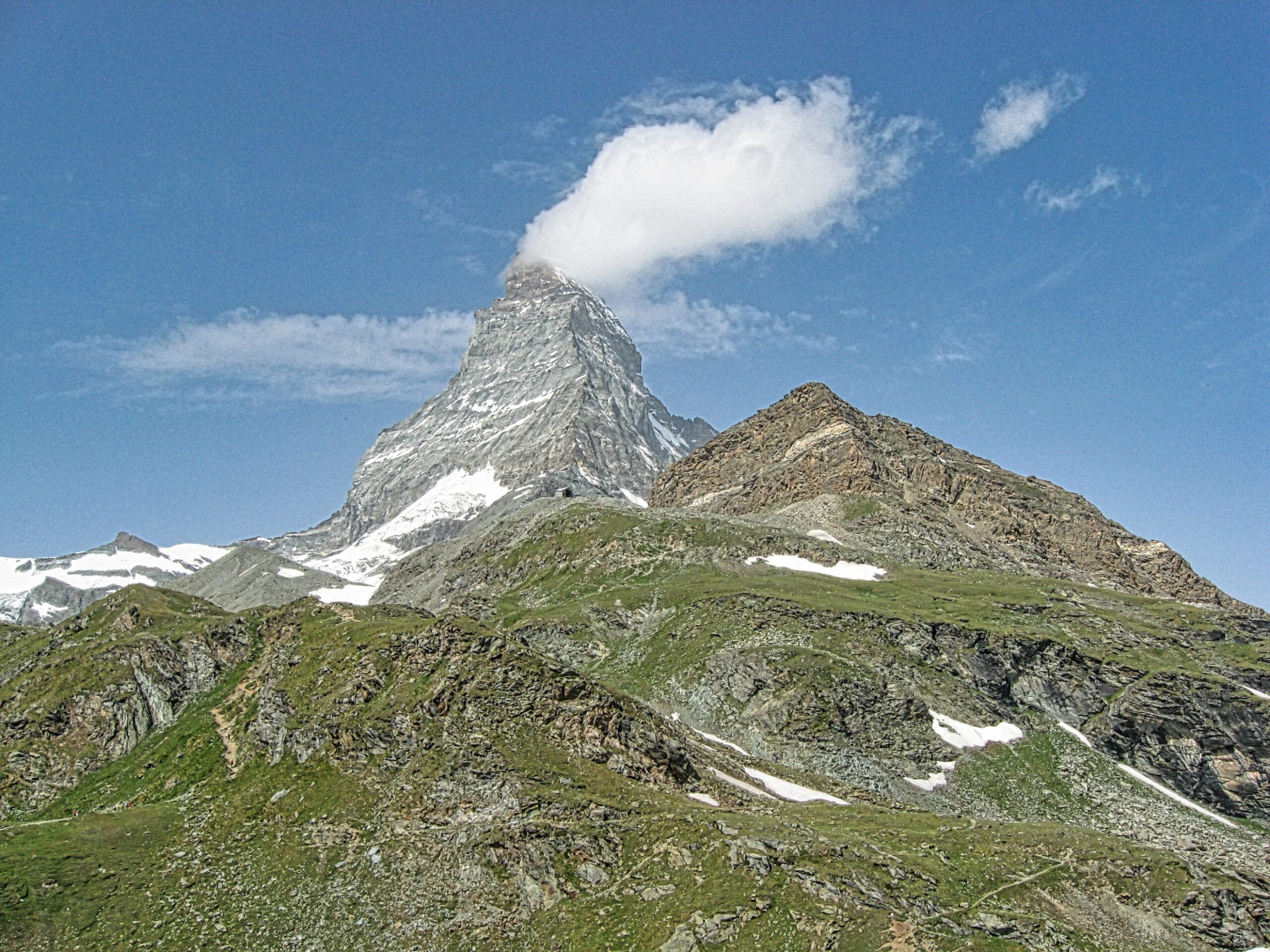
The route up to the Hörnli Hut goes around the green knoll in the foreground and then up the second knoll past the building on top
Nearing the top of the second knoll
The last obstacle is a climb up the rocky buttress ahead and along the upper ridge to the Hörnli Hut
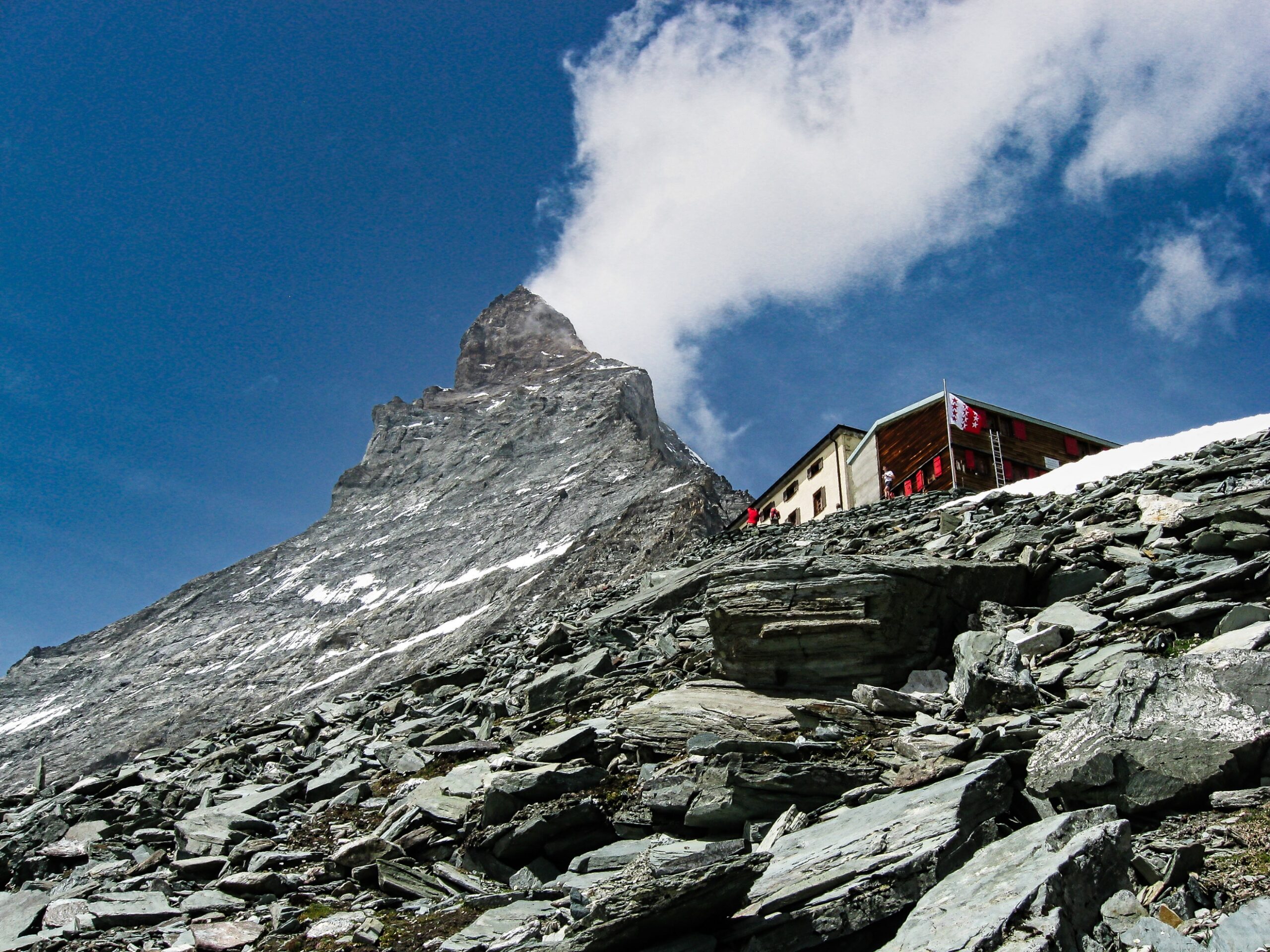
Arriving at the Hörnli Hut
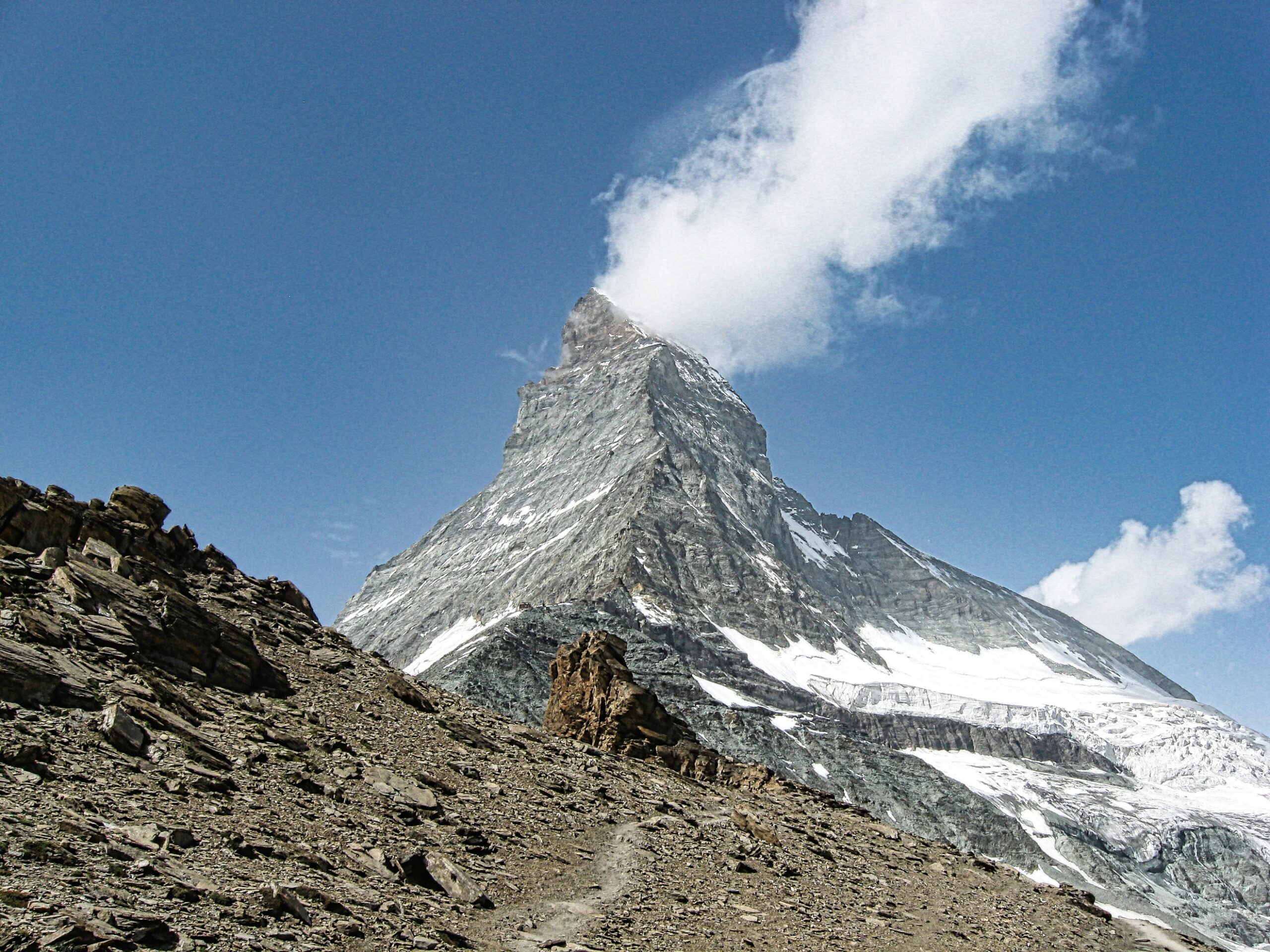
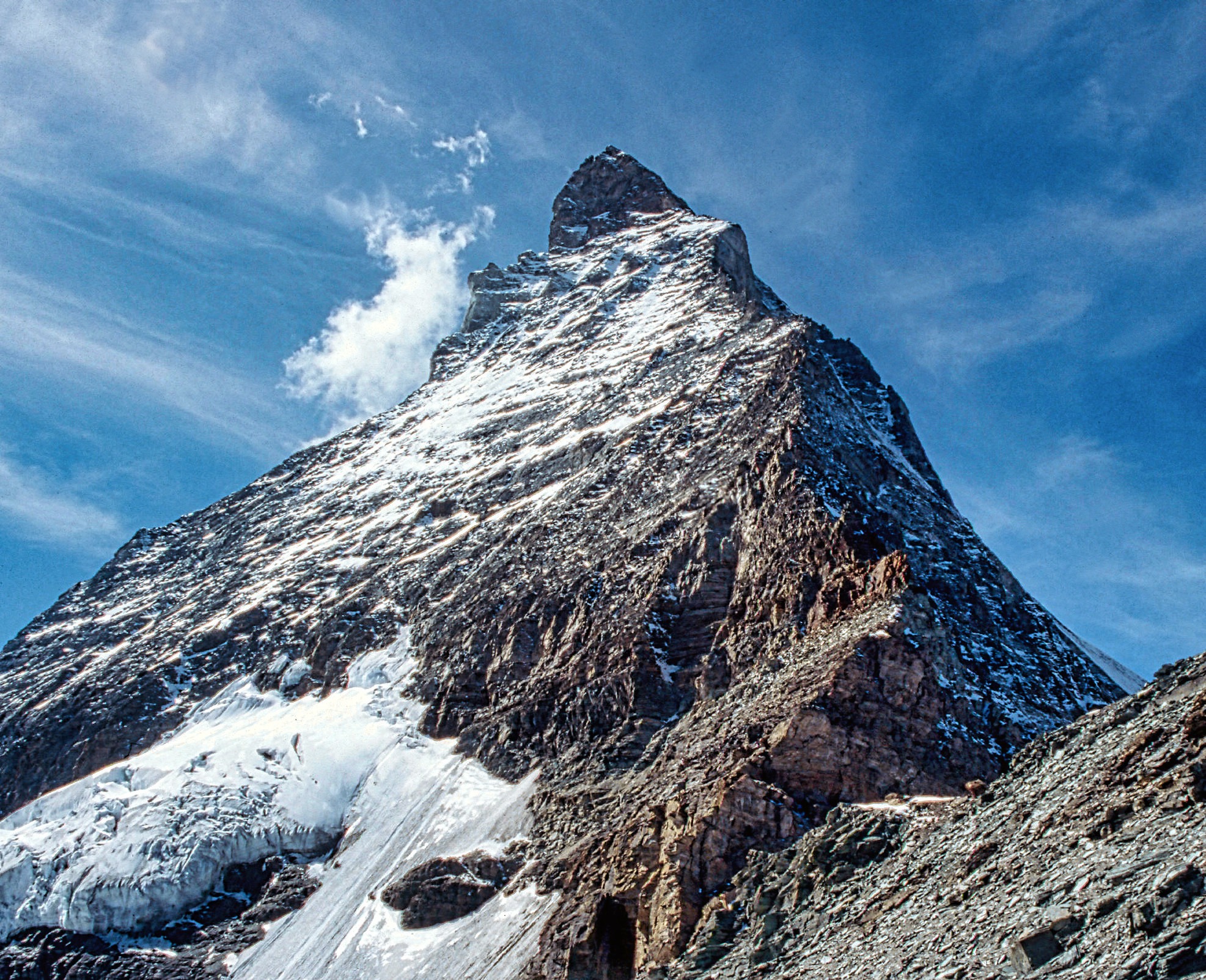
The Hörnli ridge greets visitors to the hut and provides a challenging climb to the summit
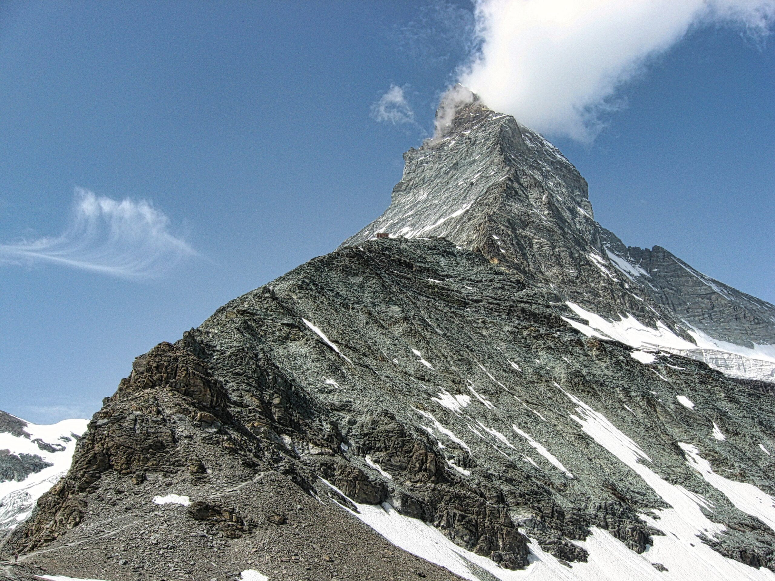
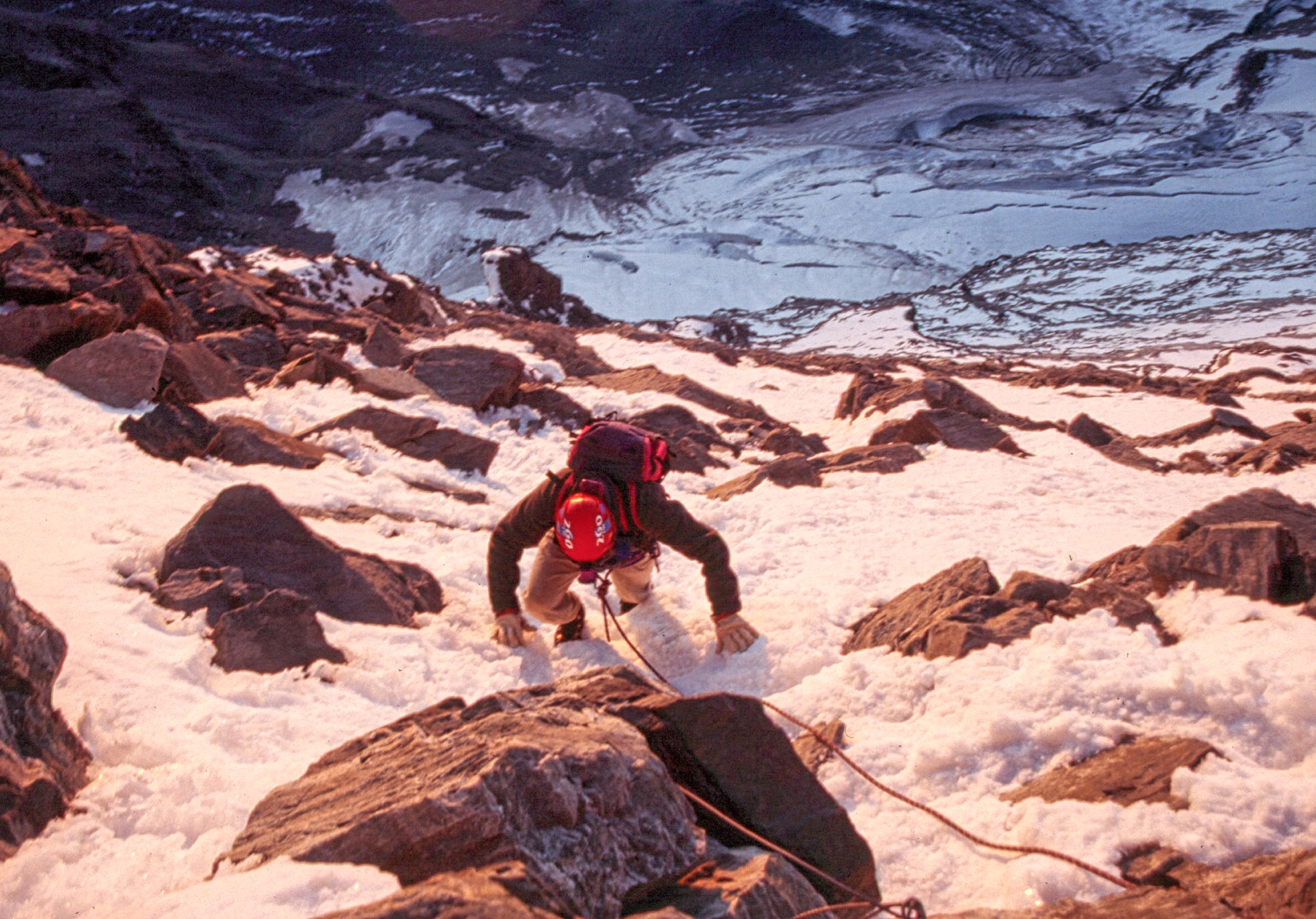
Climbing on the Hörnli ridge toward the Solvay Hut
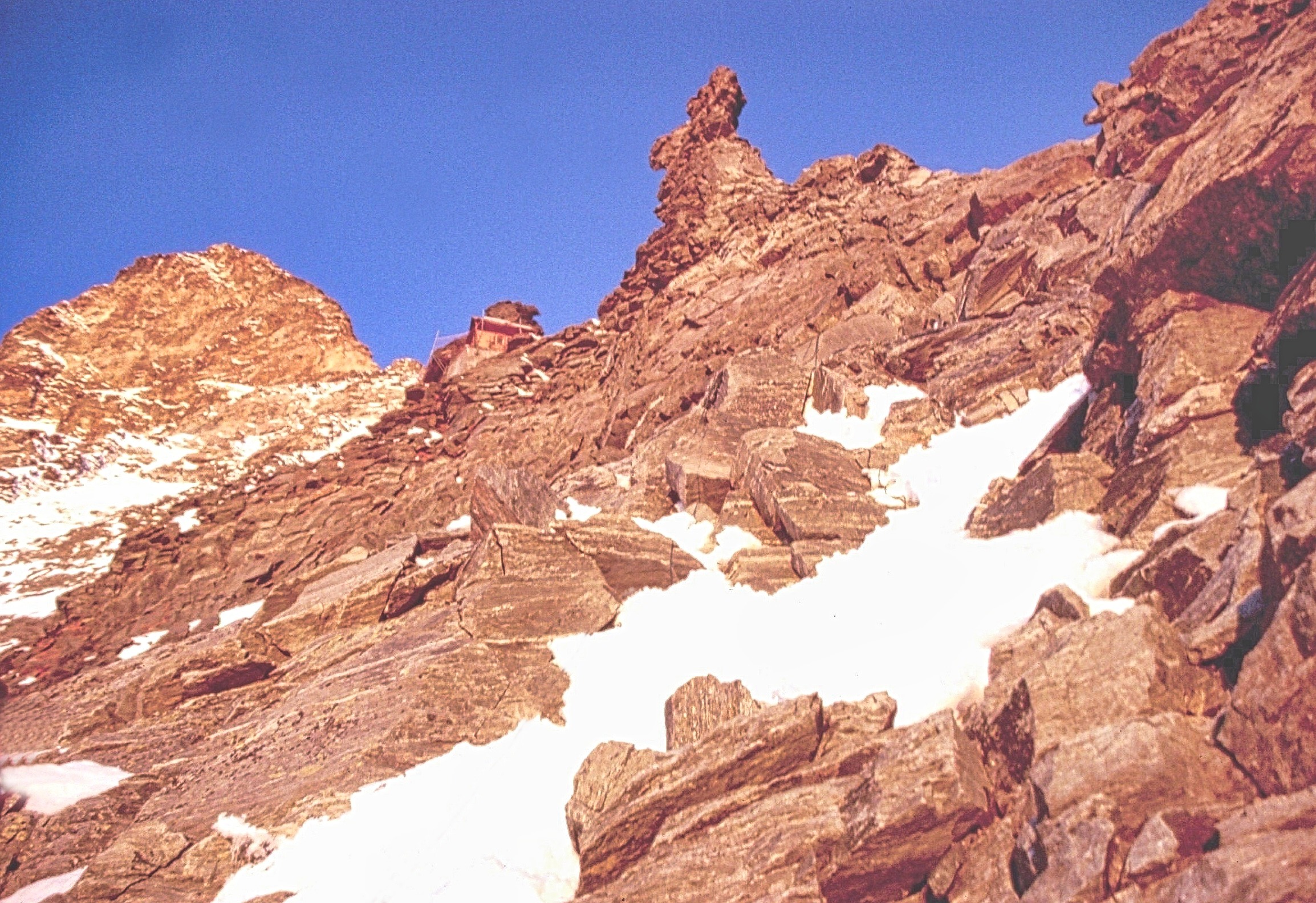
Approaching the Solvay Hut perched high on the Hörnli ridge (13,133 feet)
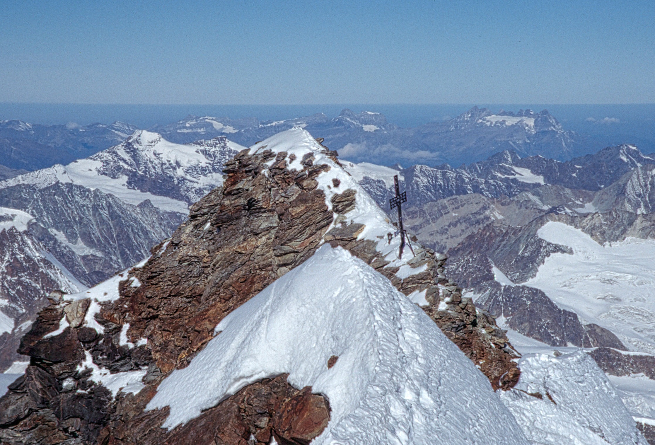
The Italian summit (14,688ft) as viewed from the Swiss summit
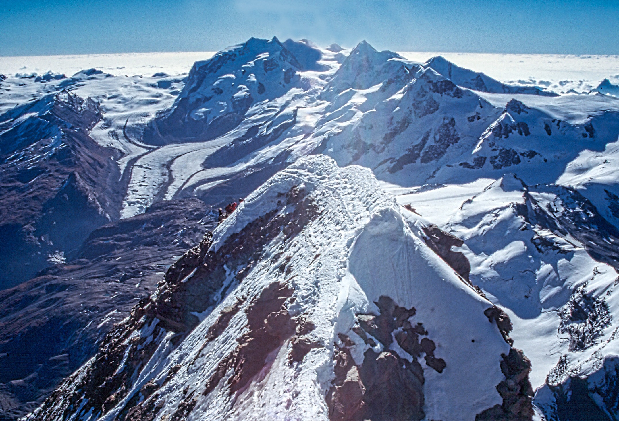
The view from the summit of the Matterhorn (14,692ft) with Monte Rosa in the background (note the other climbers nearing the top)
The Val d’Anniviers
Cabane du Grand Mountet (9469ft)
The route to the Cabane du Grand Mountet starts in the town of Zinal and climbs through beautiful alpine rock gardens along the way
Hiking across the western flank of the Besso (the twins) on the path to the Cabane du Grand Mountet with the Pointe d’Ar Pitetta in the background
The Grand Cornier comes into view at the head of the valley as the trail continues on around the Besso
Several steep and exposed parts of the trail are protected with a fixed line (Zinal, the starting point for the hike is seen in the valley below)
As the trail climbs higher the Dent Blanche starts to come into view (the Grand Cornier is on the right)
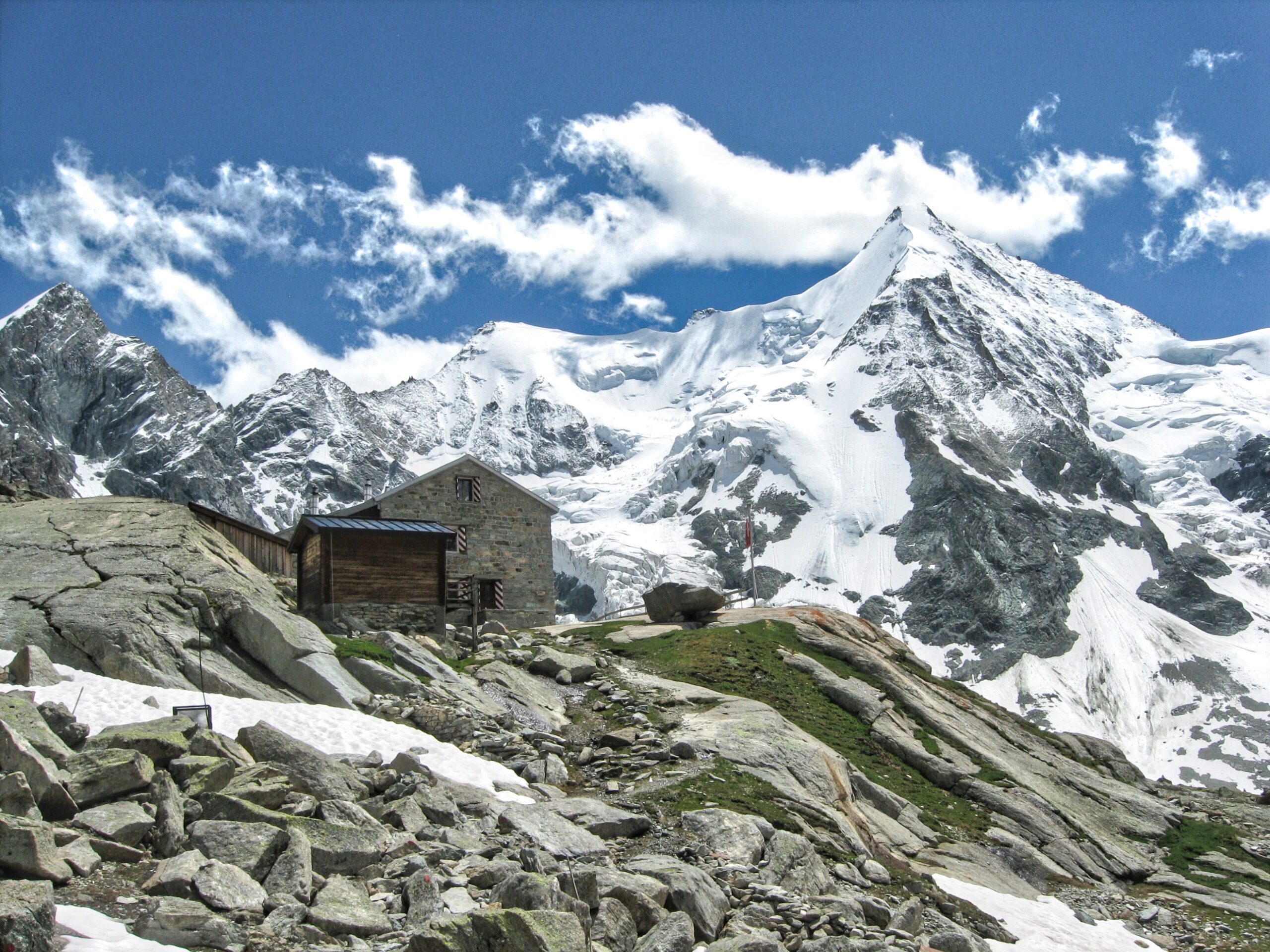
The Cabane du Grand Mountet (far left to right the Trifthorn, Wellenkuppe and the Obergabelhorn
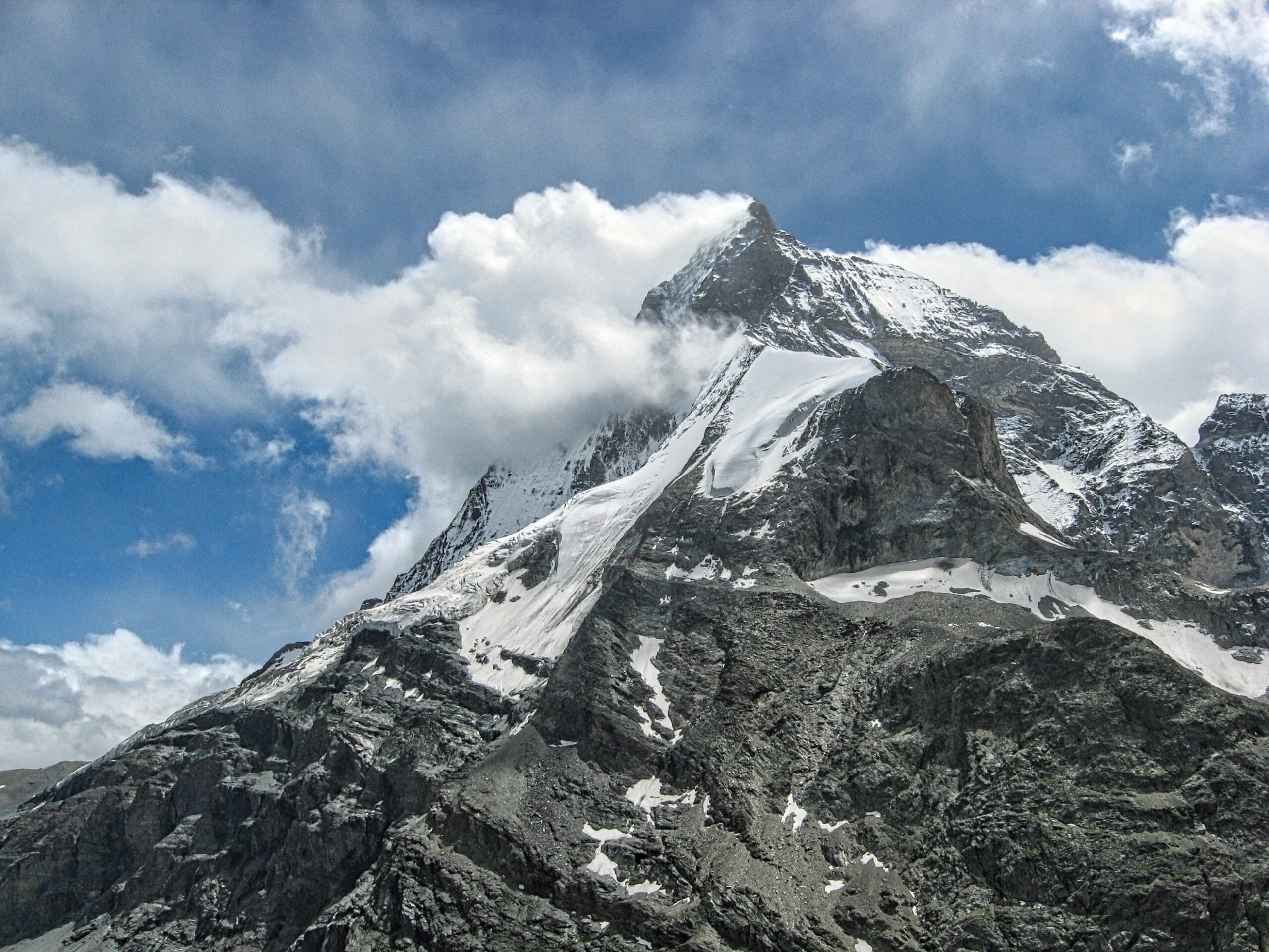
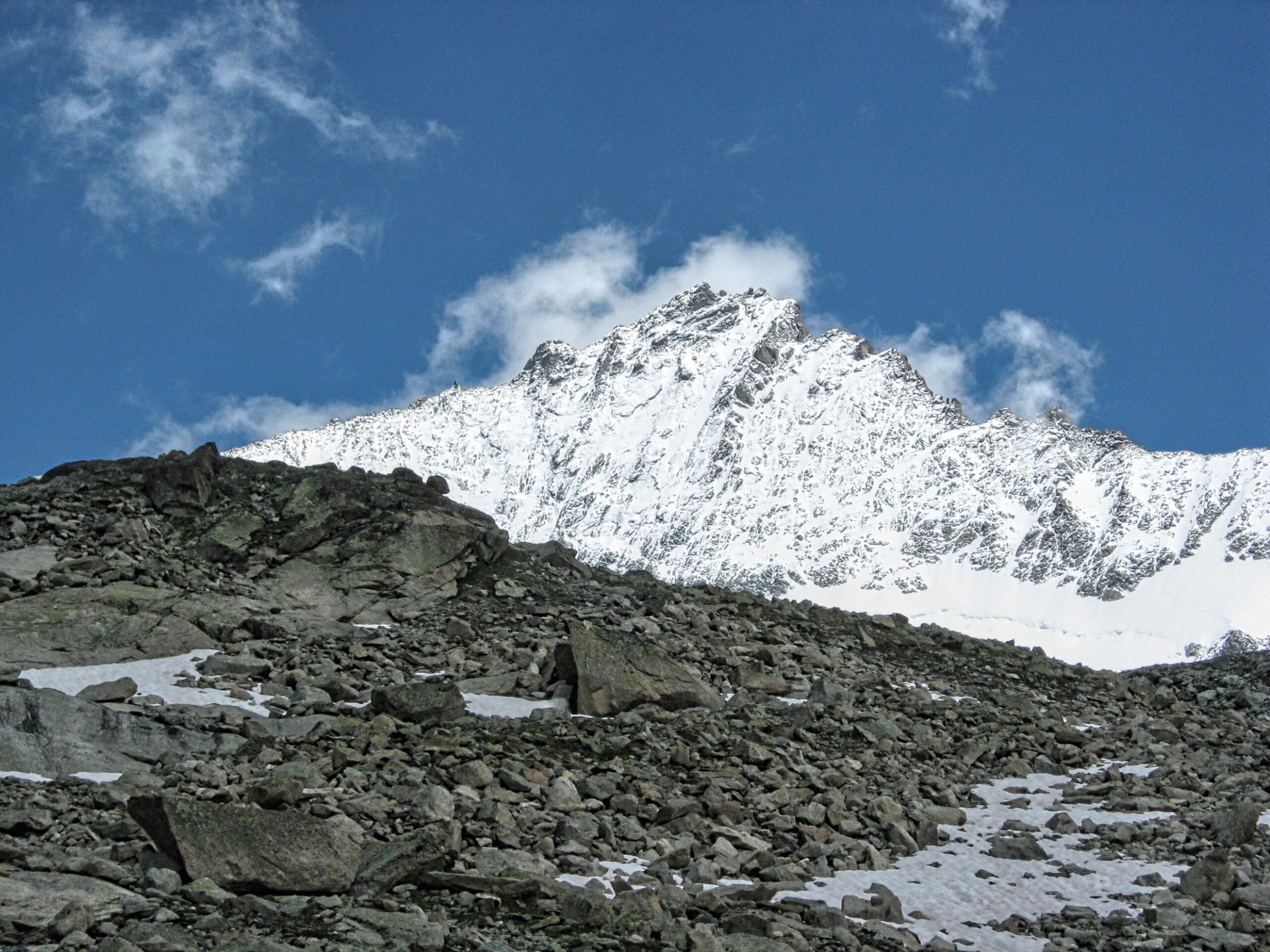
Zinalrothorn as viewed from the Cabane du Grand Mountet
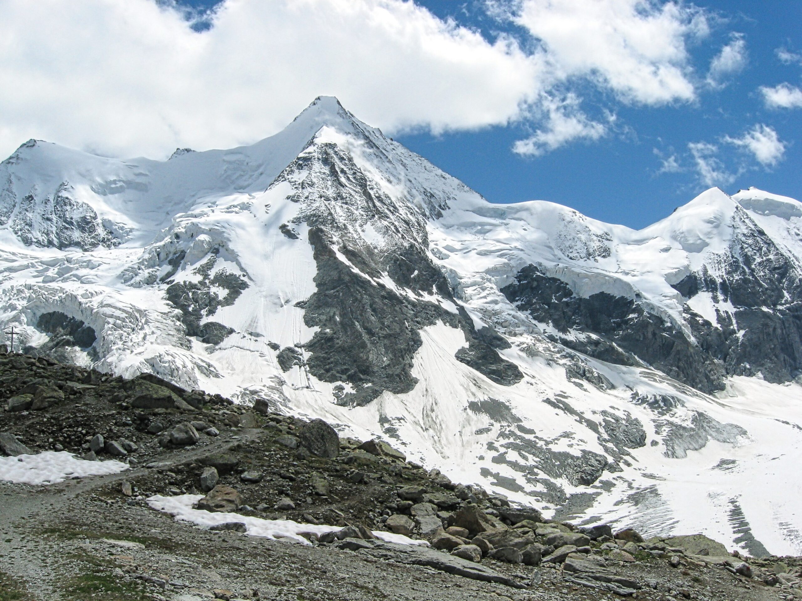
Wellenkuppe (far left) the Obergabelhorn (center) Mont Durand (right) and the Arbenhorn (far right)
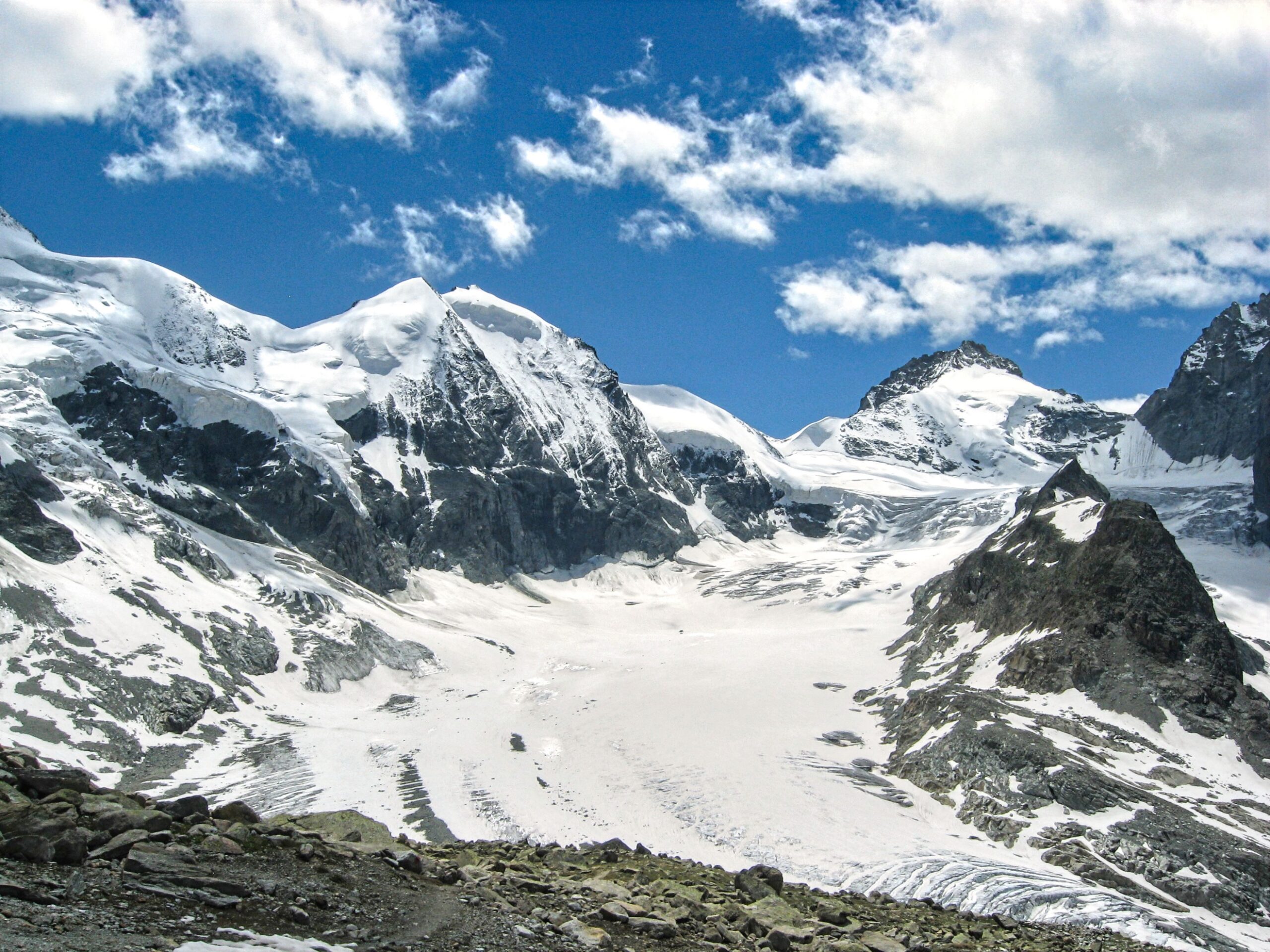
View looking up the Glacier Durand (Mont Durand and the Arbenhorn are center-left and the Pointe de Zinal in the center-right background)
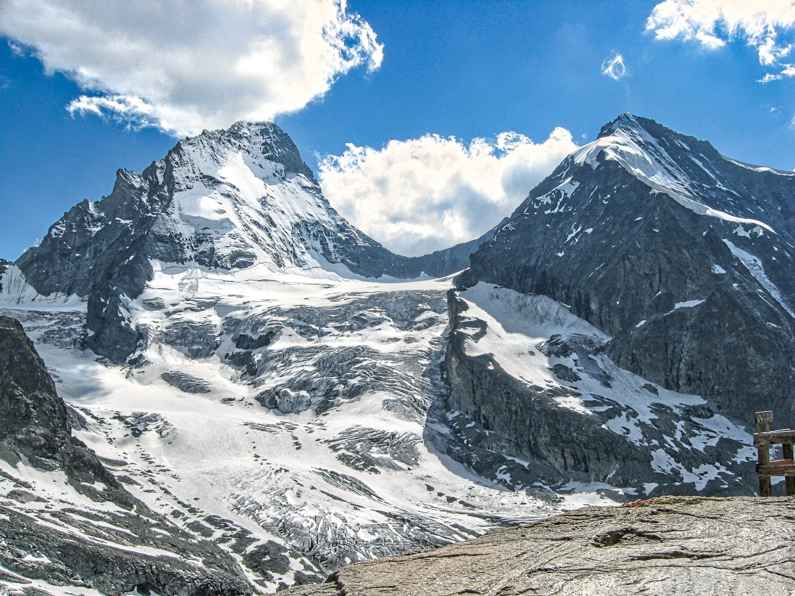
View of the Dent Blanche (left) and the Grand Cornier (right) from the Cabane du Grand Mountet
Cabane de Moiry (9268ft)
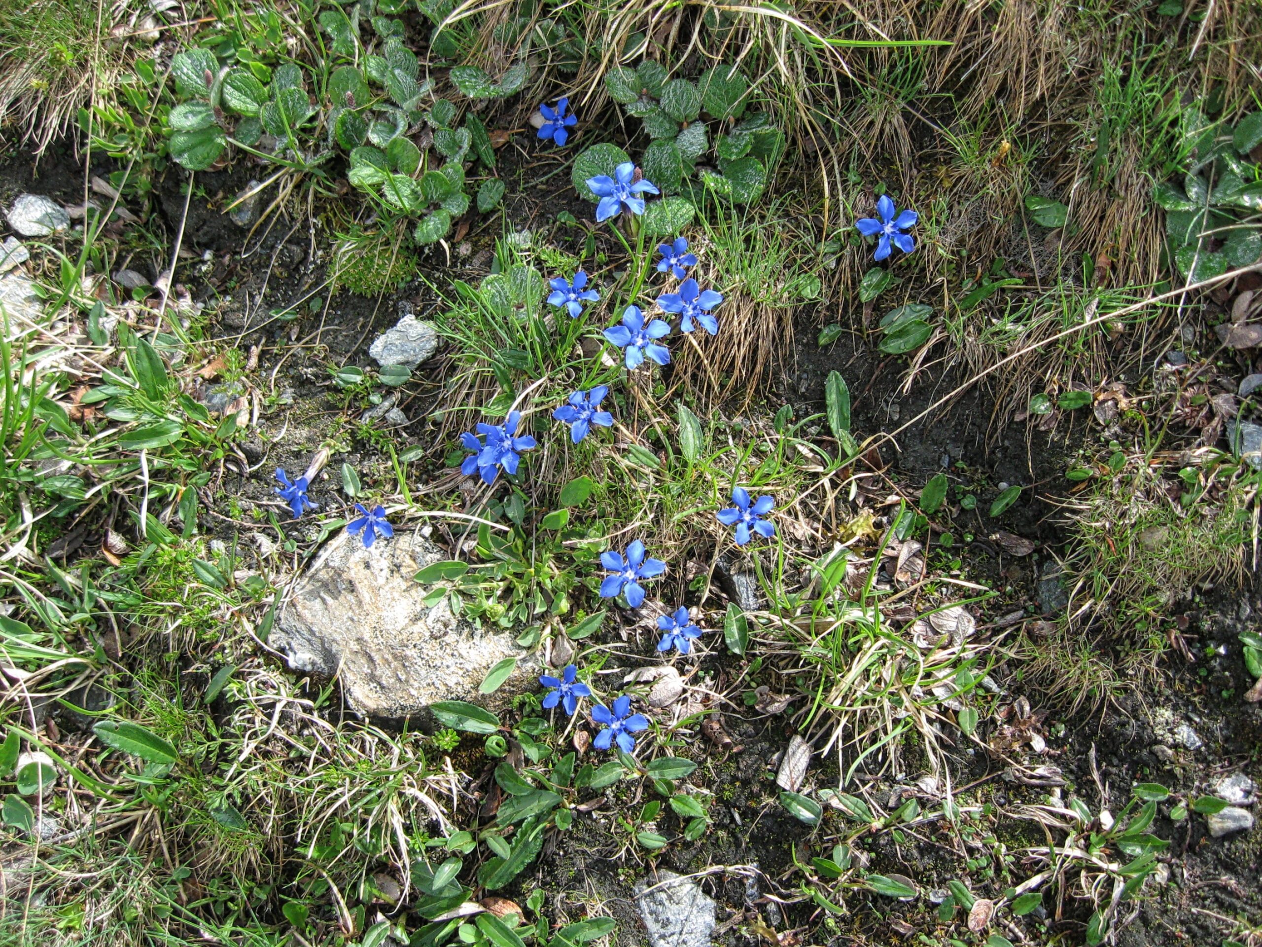
Spring Gentian along the trail from Zinal to the Cabane de Moiry
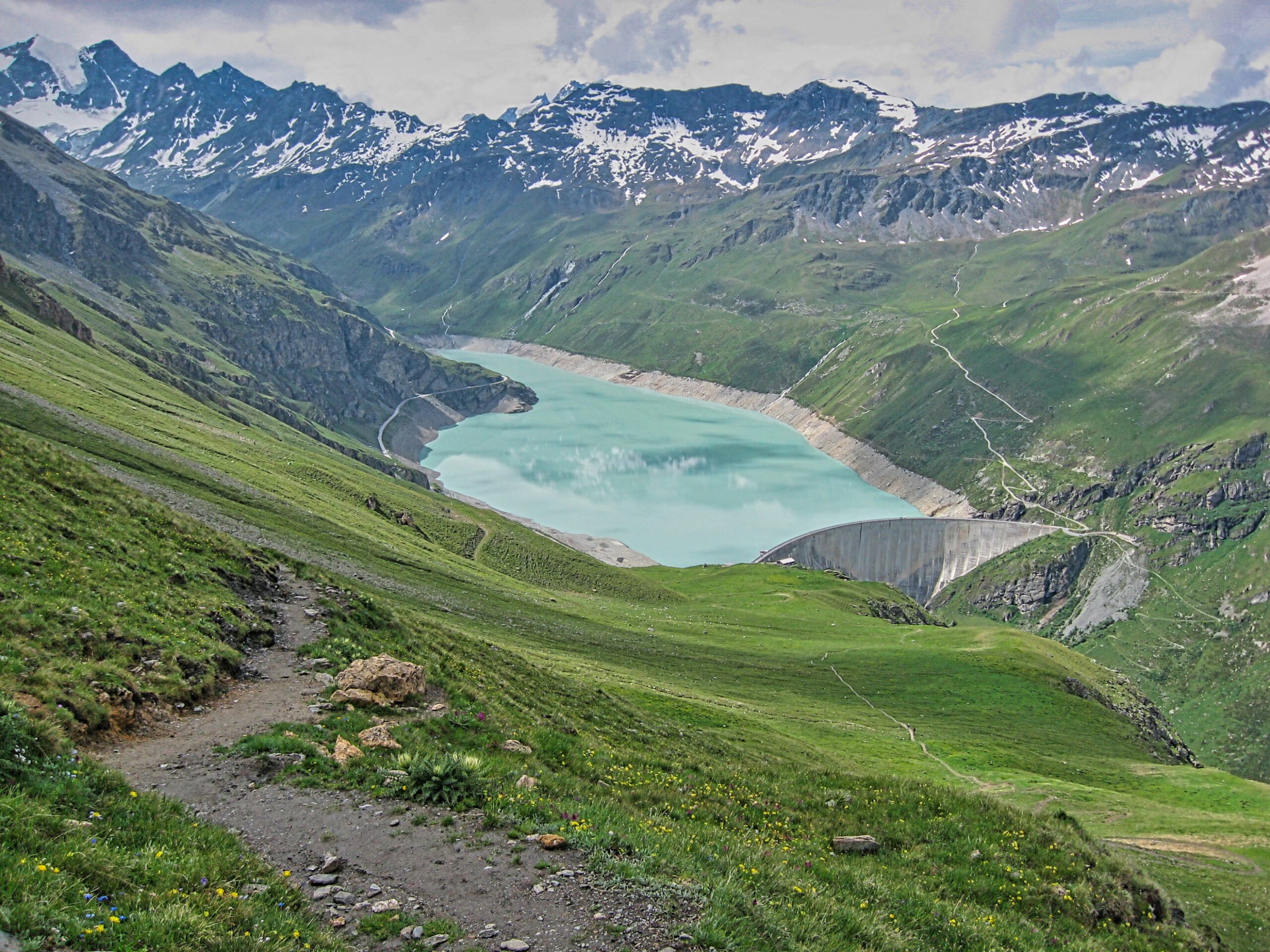
View from the Col de Sorebois (9317ft) of Barrage de Moiry (the trail to the Cabane de Moiry goes around the far side of the lake)
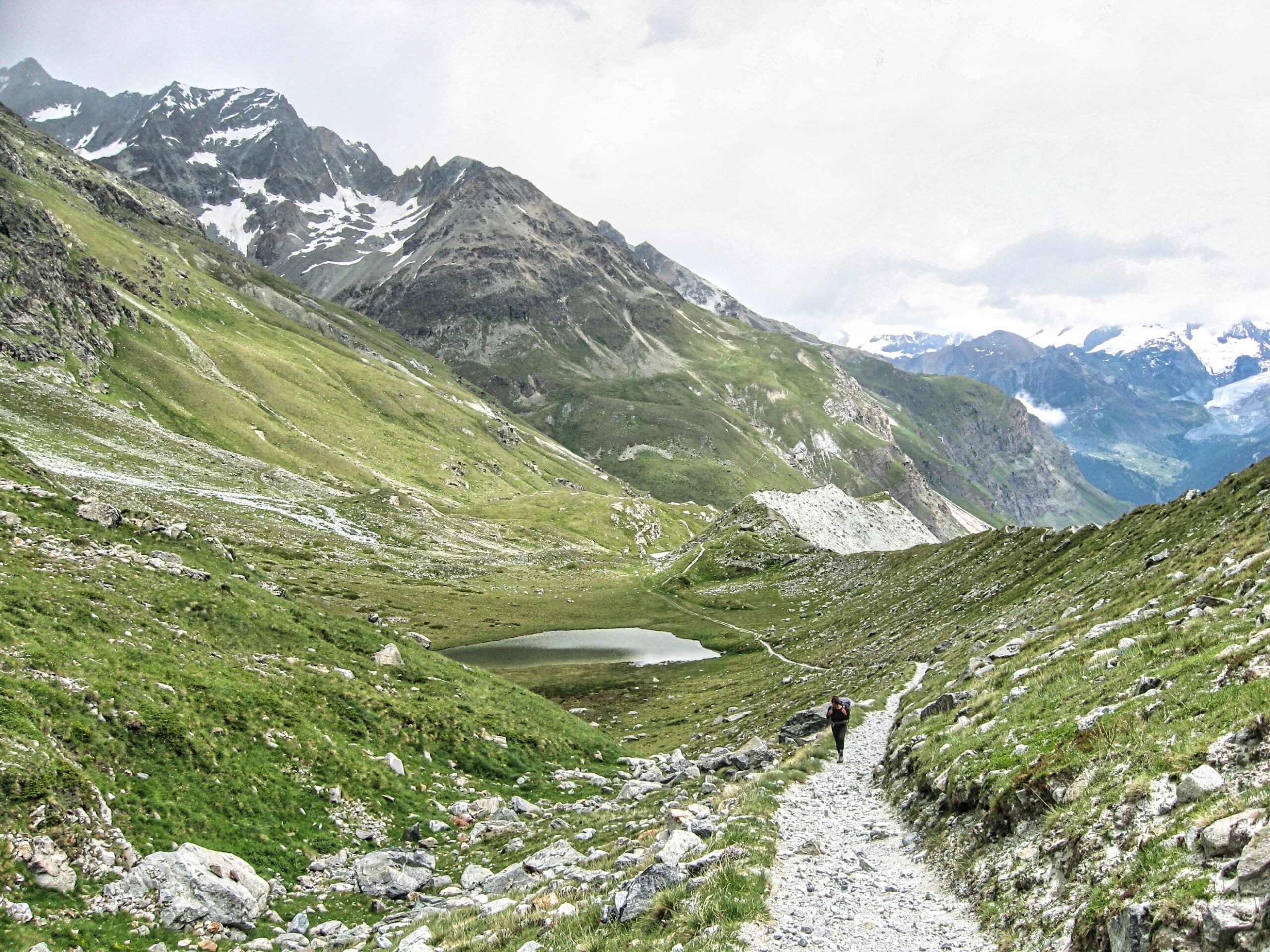
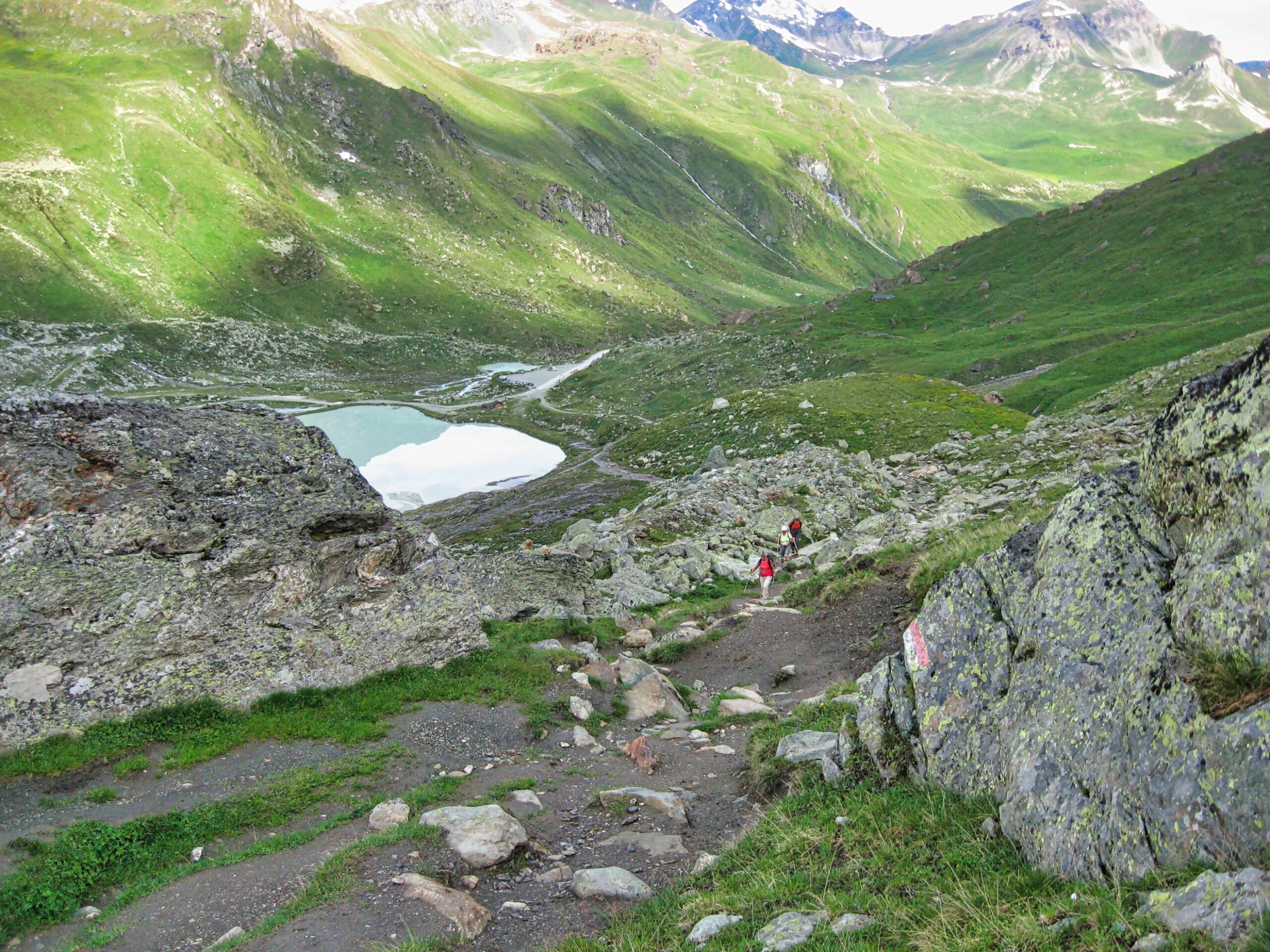
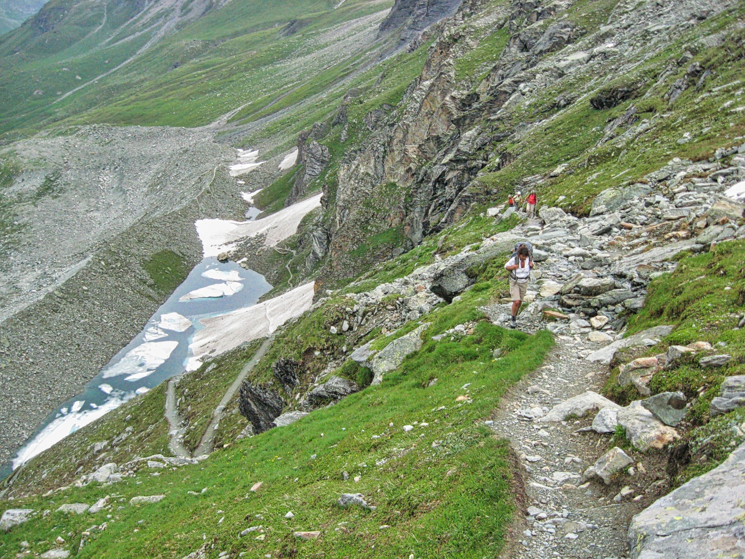
The trail climbs up from a small lake (center-left) and continues up through a boulder-strewn grassland to the east lateral moraine of the Moiry Glacier
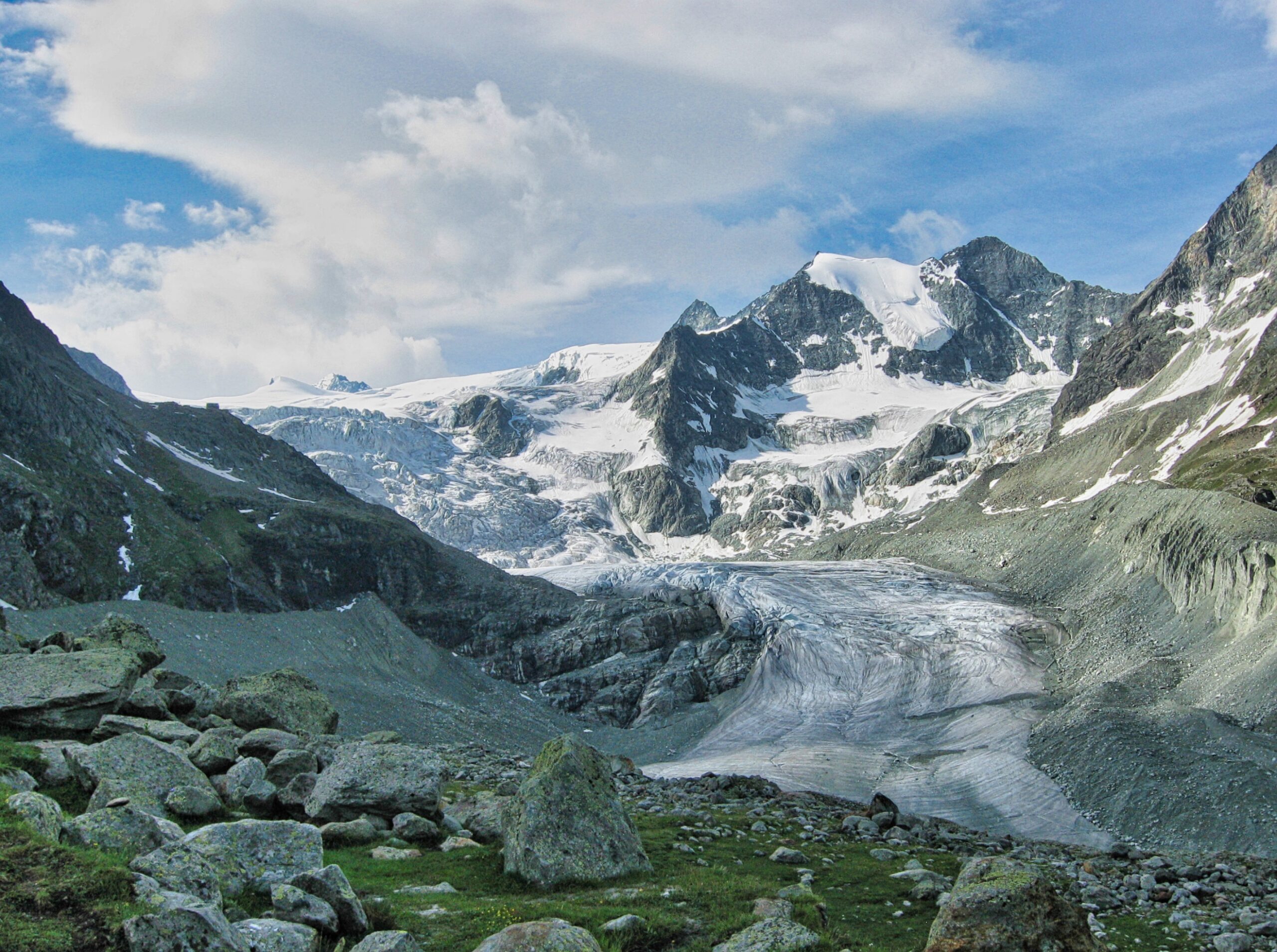
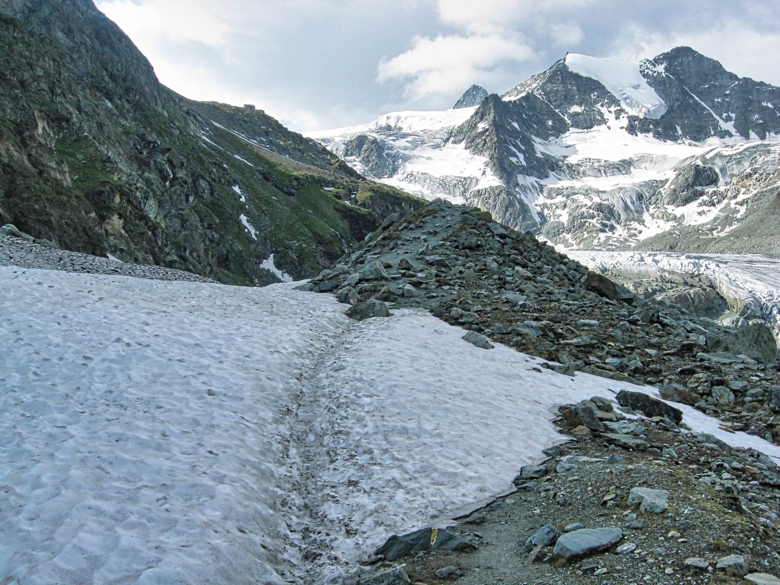
The trail follows the moraine of the Moiry Glacier and then climbs to the hut just visible on the ridge on the left
View from the top of the moraine (the Pointes de Mourti is at the head of the valley, the Cabane de Moiry is on the ridge ahead)
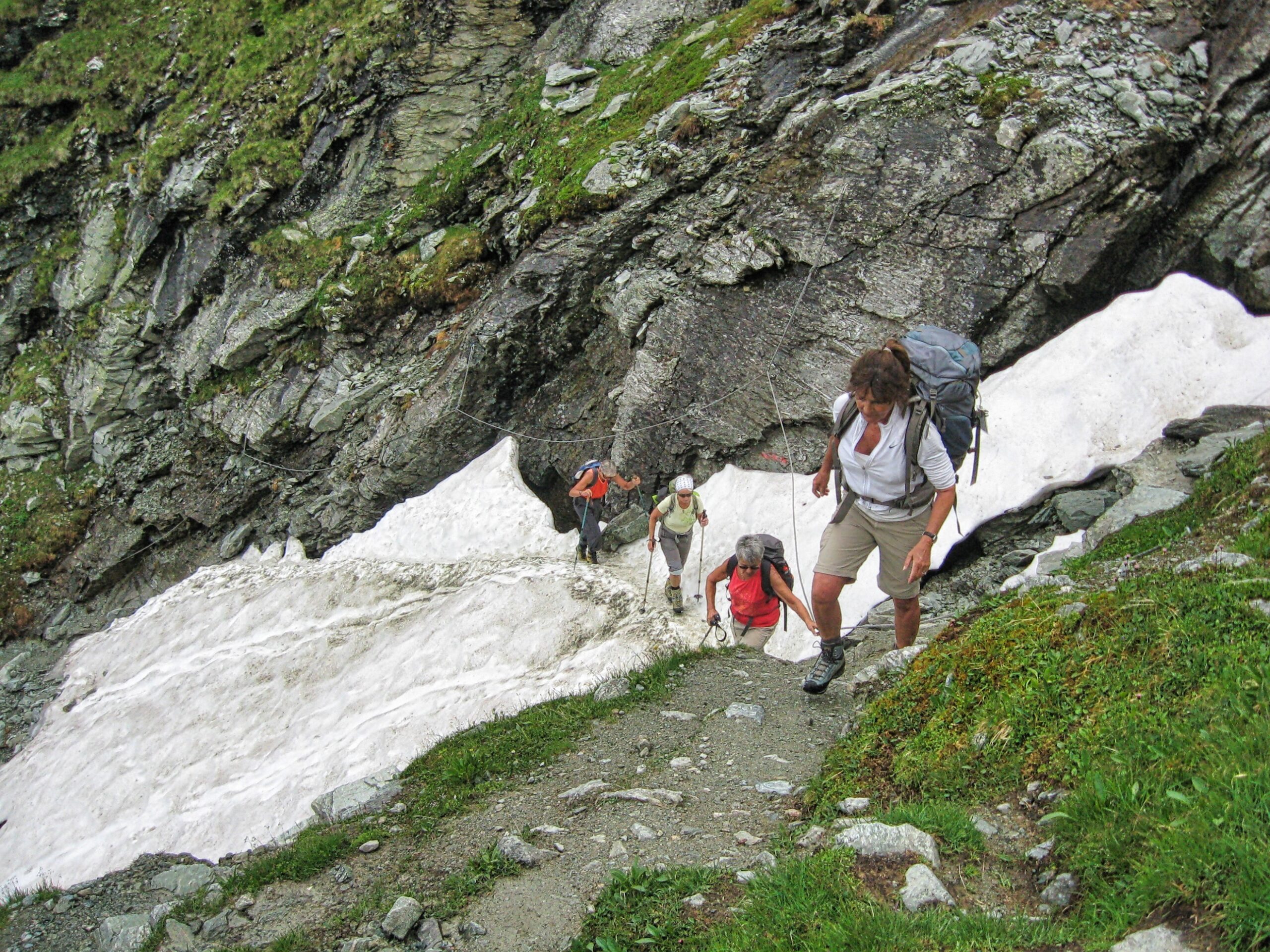
After leaving the moraine the trail steepens, crossing several sections protected by fixed lines
Hikers approaching the final slope to the Cabane de Moiry
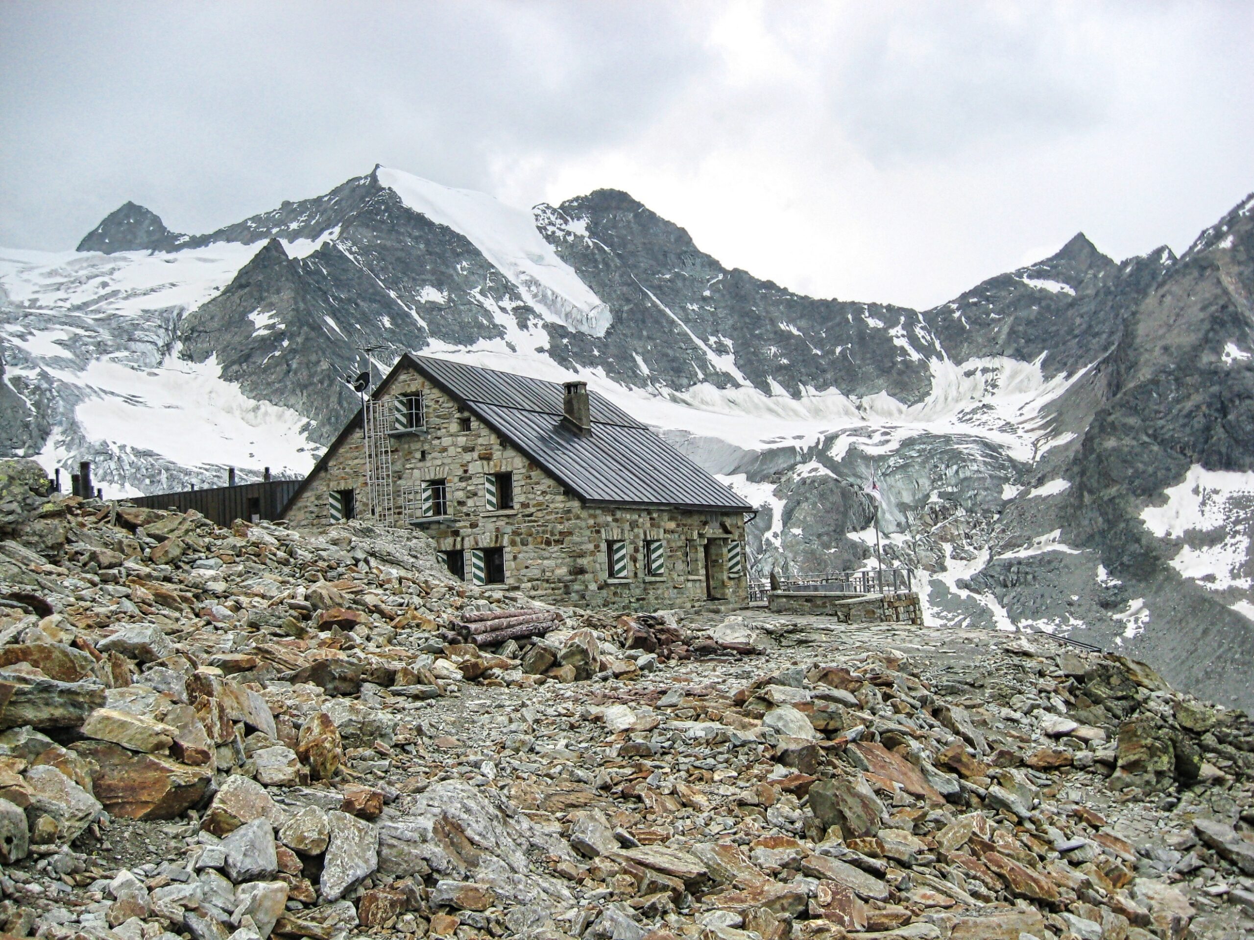
The Cabane de Moiry
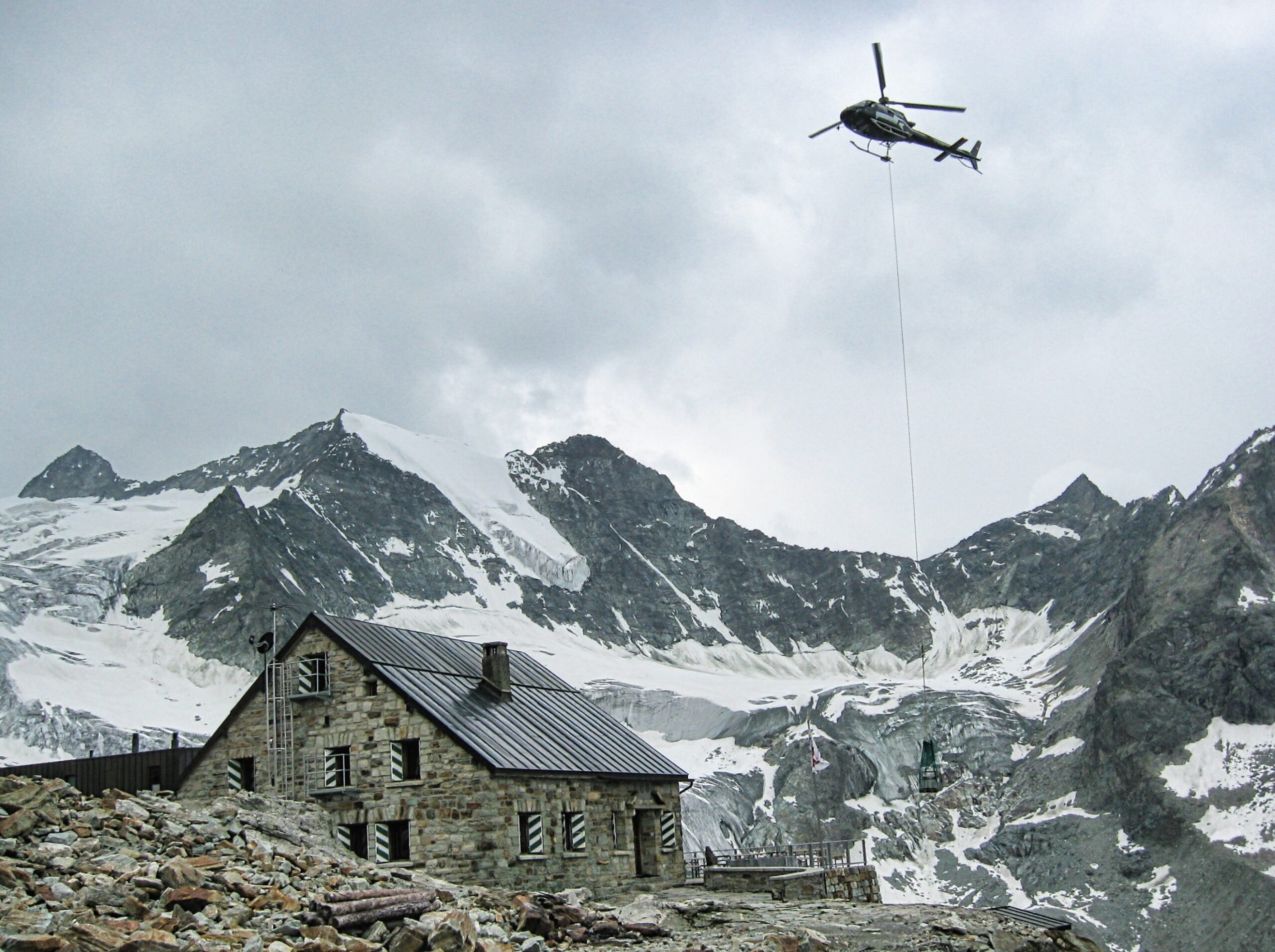
A helicopter brings in supplies to the Cabane de Moiry
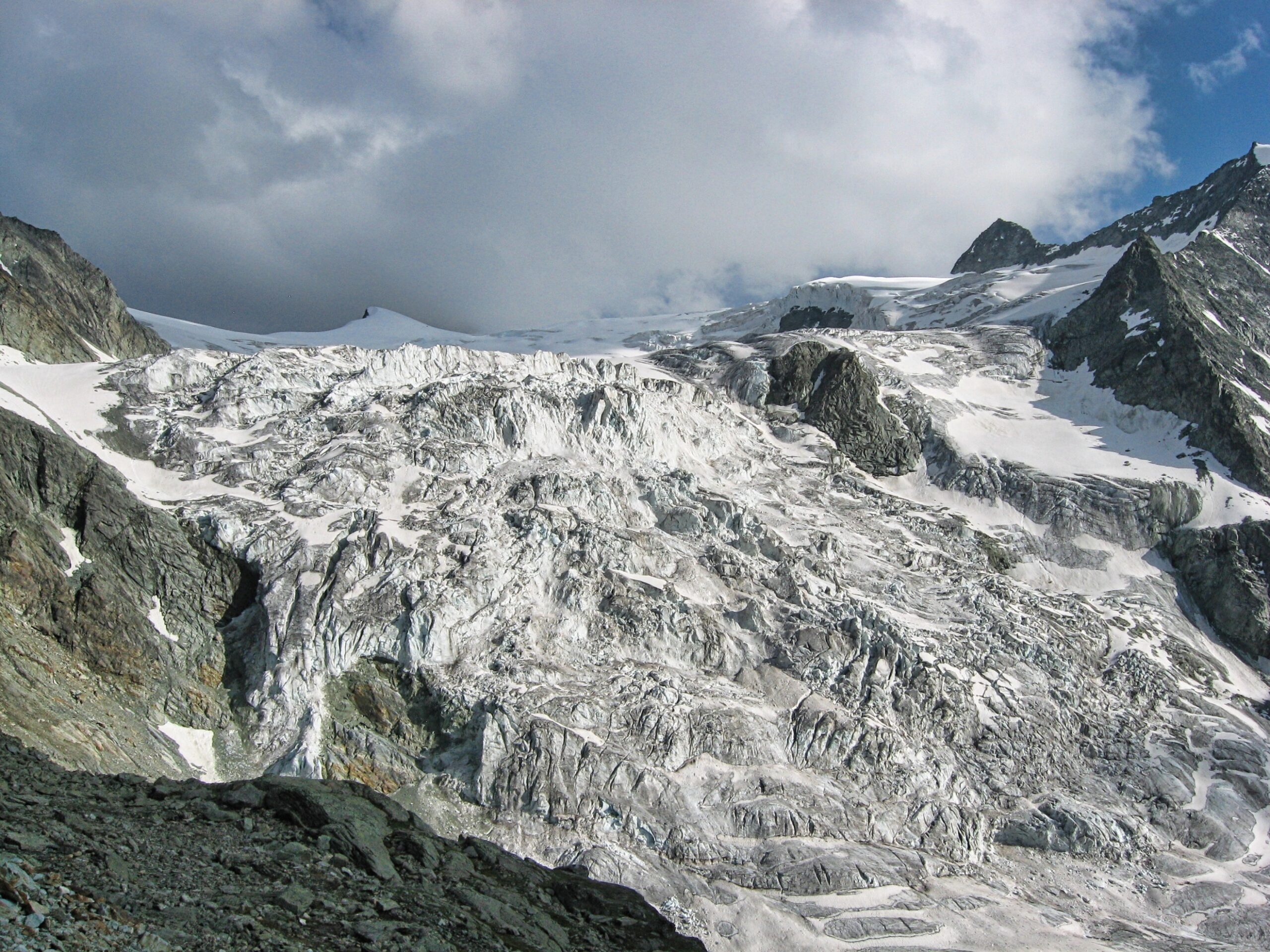
The great icefall of the Moiry Glacier as seen from the Cabane de Moiry


