Phase 2: Zermatt to St. Niklaus
Stage 5: Zermatt to Europahutte July 2001
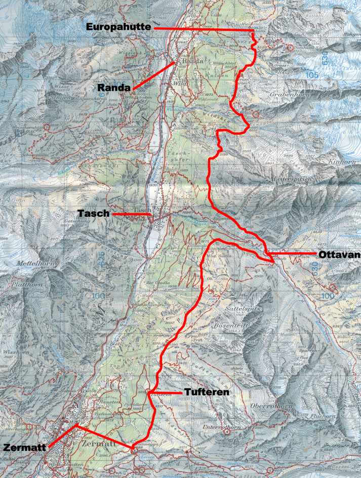
Al Errington, my son John and I left our hotel in Zermatt (1600m – 5249ft) and caught the first funicular train up the east side of the Mattertal to the top station at Zunnegga (2288m – 7507ft). Once there we followed the signs down the road to Tuftern (2215m – 7267ft) and then continued on, taking the trail marked Europaweg. This trail led along the hillside and around into the charming Taschalp Valley and the hamlet of Ottovan 2187m – 7175ft) where we could look northeast up the valley to the Taschhorn (4490m – 14,731ft). We followed the road out of Ottovan for a short distance and then turned right onto the continuation of the Europaweg. The trail followed a good route amongst Arolla pines and larch.
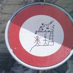
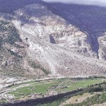
Before long we reached a sign warning of rock fall where the path was protected by a concrete platform, then two tunnels. Afterwards the path climbed up past the first possible descent route to Randa, with good views of the famous Randa landslide. In April and May 1991 there were several landslides on the westerly hillside above Randa. The biggest one blocked the railway line, the road and the river, and the military were brought in to build a temporary floating road to evacuate people stranded in the upper Mattertal. Miraculously no one was hurt.
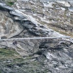
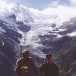
From the Randa trail junction the route made an improbable hillside traverse, protected by rope railings, and then a bridge across a gorge to lead to another tunnel, this time cut into the rock. After a short climb the trail came to a picnic table next to another trail down to Randa. From here it was a short hike to Europahutte (2200m – 7218ft) (11.1miles from Zermatt). We checked in with the hut warden and then explored the area around the hut and enjoyed the view of the Weisshorn (4505m – 14,780ft), the second highest peak entirely in Switzerland.
- Sign warning of rock fall on the Europaweg near Ottovan
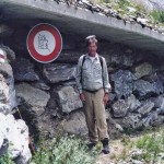
- Rock fall test
- The Randa landslide of 1991
- The bridge not far from the Europahutte
- Al and John on the deck of the Europahutte with the Weisshorn in the background


