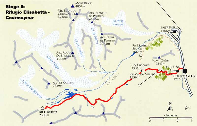
7/2 Stage 6: Rifugio Elisabetta – Courmayeur
7/2 Left Rifugio Elisabetta at 7:30a and followed the farm lane down the lower Vallon de la Lee Blanche alongside the stream that drains the upper valley. The stream gradually expanded and formed the Lac Combal which is created by the lateral moraine wall thrown up by the Glacier de Miage that spills into the valley between a gateway of rock, across the now narrow valley. From the foot of the lake the trail turned and headed steeply up the right hand hillside for about 20 minutes to the Alpe Inferieur de l’Arp Vieille then further uphill to the Alpe Superieur de l’Arp Vieille (2303m – 7556ft) (9:00a). Here a great view across the valley to Glacier de Miage and the complex south face of Mont Blanc. Above the Alpe Superieur the trail rose further to pass above a small pool and then angled leftward up a spur projecting from Mont Favre. Twenty minutes above the Alpe we reached the high point at 2430m (7972ft). Here we paused and took pictures and ate a quick snack before continuing.
The path then sloped down to a stream crossing before rising again to the top of a broad grassy bench then descending, sometimes passing through wooded areas, before reaching the Col Checroui (1956m – 6417ft) (10:30a). At the Col Checroui we went right, around the rifugio, and followed the track that passed to the left of the chairlift and in 30 minutes reached the top station of the Plan Checroui tram (1701m – 5581ft). Here we hoped to take the tram down to Courmayeur. Unfortunately it was closed so we continued on down the road to the village of Dolonne (1210m – 3970ft) and then walked on into Courmayeur (1226m – 4022ft) (11:50a). We were entertained by a big thunderstorm that evening while we ate pizza and Al and I ogled a young temptress being hustled at a nearby table.
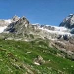
- Looking back toward the Rifugio Elisabetta
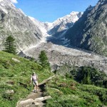
- Al nearing the shoulder of Mont Favre
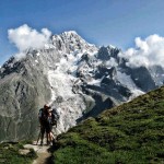
- Steve and Katherine on the shoulder of Mont Favre
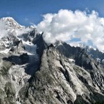
- View of the Mont Blanc Range from the shoulder of Mont Favre
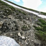
- Trail leading to the Col Checroui
- Arrival at the village Dolonne near Courmayeur
Pages: « Previous 1 2 3 4 5 6 7 8 9 10 11 12 13 14 15 16 Next »


