7/3 Stage 7: Courmayeur – Rifugio Bonatti
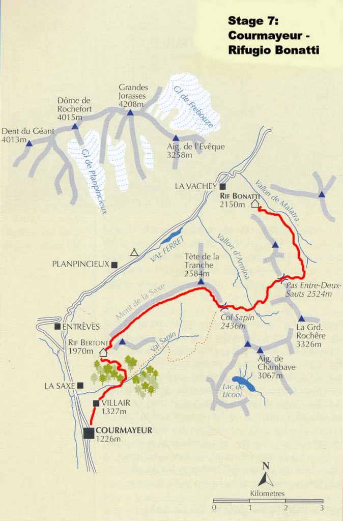
7/3 Left Courmayeur at 8:14a. We began the day’s route in the square in front of the church and walked up the narrow street on its left (between the church and the guides’ office); this street becomes the Strada del Villair. We followed this road out of Courmayeur, alongside gardens and houses, to the upper part of the village of Villair (1327m – 4354ft). We then continued on up the track to the stream crossing where the road curved left. Shortly after this we took a path on the right climbing between trees and eventually rejoining the road. We turned right on the road and followed it for about 50 yards before reaching the TMB marked trail which breaks off to the left and ascends steeply up to the Rifugio Giorgio Bertone (1970m – 6463ft) (9:45a – 10:20a). Here we stopped for cokes and a rest before continuing our ascent up grassy slopes behind the rifugio to the crest of Mont de la Saxe.
From here, and all the way along the crest to Tete de la Tronche, there was a fabulous view of the south wall of the Mont Blanc range from Col de la Seigne (two days behind us) to the Grand Col Ferret (a day and a half ahead). We passed several cattle herds high on the ridge and watched as the farmers herd dogs kept order. After passing just to the right of the Tete Bernarda we continued the traverse and reached the Tete de la Tronche (2584m – 8478ft) at 12:15p and after a short rest descended steeply down to the Col Sapin (2436m – 7992ft) (12:45p).
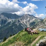
- High above Courmayeur at the Rifugio Giorgio Bertone
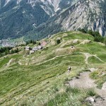
- Above the Rifugio Giorgio Bertone (Courmayeur in background)
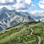
- Herder on the trail between Rifugio Giorgio Bertone and the Tete Bernarda
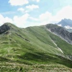
- Looking toward the Tete Bernarda and the Tete de la Trounche
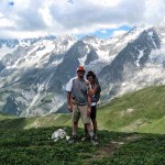
- Atop the Tete de la Tronche above Col Sapin
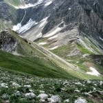
- Looking down into the Col Sapin from the Tete de la Tronche
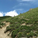
- Looking back up the trail from the Col Sapin
Pages: « Previous 1 2 3 4 5 6 7 8 9 10 11 12 13 14 15 16 Next »


