June 30 2006 Adelboden to Lenk
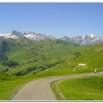
Today was to be a relatively easy one that started with a descent back down from the center of Adelboden to the valley station of the Silleren (9:00; ca. 4130 feet) gondola. I took the lift to the top station at Sillerenbuhl and then walked a very pleasant one hour along the ridge that connected the Sillerenbuhl with Hahnenmoospass (11:00; ca. 6415 feet).
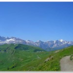
From Hahnenmoospass I continued left along the divide and followed that path around the hillside towards the lump of the Regenboldshorn. After about twenty minutes I hiked up the last few feet to the Pommernpass (11:25: ca. 6740 feet). The descent from the pass was left over steep pastures, passing hay barns and farms, and through a small forest. This trail continued the Simmenfalle, a spectacular waterfall which trail descended steeply down to the Simmenfalle Restaurant at Oberried (12:45; ca. 3615 feet). From here I rode the bus a short distance into Lenk (ca. 3500 feet).
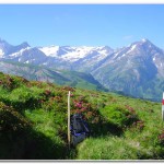
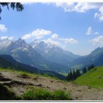
- View from the top of the Sillerenbuhl tram looking toward Hahnenmoospass
- View nearing the Hahnenmoospass
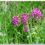
- Wildflowers in bloom near Pommernpass
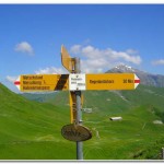
- Signpost at Pommernpass
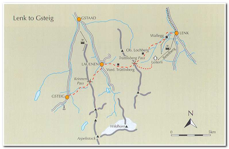
July 1 2006 Lenk to Gsteig
The hike began with a tram ride up from Lenk (8:35; ca.3500 feet), in two stages to Leiterli (9:15; ca. 6375 feet). From the Leiterli tram station a sign marked the path to Lauenen which rounded the little hump ahead to pass a small col where it then continued on the south side of the ridge. A signpost then marked the trail to the Truttlisberg Pass. The trail cut below the Stubleni peak above the spiny limestone ribs at the head of the Wallbach valley then followed the rocky ridge of limestone boulders and craters to the pass (10:15; ca. 6685 feet).
From the Truttlisberg Pass the trail went left to follow a slightly rising path to another junction, then began the actual descent through eroded fields of wild azaleas and came to the farm buildings of Vordere Truttlisberg (11:20; ca. 5965 feet). From here the way was either down the road all the way into Lauenen (12:00; ca. 4070 feet), or via the path which went through pastures and small patches of forest before reaching the town. I opted for the path.
After stopping for lunch on a beautiful outdoor patio I left for the next section of the stage to Gsteig. I walked south along the main street toward the head of the Lauenental where the Wildhorn dominated the view. About a quarter south of the village a signpost on the right of the road indicated the start of the path to the Krinnen Pass. The trail descended a short distance and crossed the Louibach stream and then up to a farm road which snaked its way uphill past several houses, then headed left uphill. This path rose over meadows and alongside trees on the way to Sattel (ca. 4590 feet) near the top of a ski tow. The trail then followed the farm track over a stream, then onto the continuing path which climbed through woodland and was very boggy in places. In a little over an hour from Lauenen I arrived at a gap in a wooded ridge, Krinnen Pass (2:10; ca. 5440 feet). From the pass it was another hour of easy walking to the town of Gsteig.
- Trail from Leiterli to Truttlisberg Pass (in the middle distance)
- High alp near the Truttlisberg Pass
- Trail through the lime stone boulders near Truttlisberg Pass
- View from Truttlisberg Pass
- View to the Les Diablerets from the Krinnen Pass
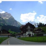
- Hotel Viktoria in the town of Gsteig


