The Grand/Grand Traverse
Over the past ten years Katherine and I have undertaken a “Grand Traverse” of Europe. Our goal has been to hike from the headwaters of the Thames River to the Slovenian border. After completing the Thames River Trail in 2010 we then set out from Ostende, Belgium and hiked across Belgium to the intersection of the Belgium, Luxemburg and German borders. Then south along the Luxemburg/German border to France. After that we would hike south across eastern France to Lausanne, Switzerland. From Lausanne our trek continued via a high route across the Swiss Alps to Lichtenstein and on along the mountains of the Swiss/Italian border. Our route then followed the Italian/Austrian border through the Dolomites and Austria’s Leinzer Alps to Plockenpass near the Slovenian border.
As of the beginning of September, 2019 we had completed all but a small segment of our intended route about 150 miles in length, in southern France between St. Maurice sur Moselle, France and Lausanne, Switzerland. For “extra credit” we had also completed a hike around and over Mont Blanc (2010), around the Matterhorn (which I climbed in 1996), and the famous climbers “Haute Route’’ between Chamonix, France and Zermatt, Switzerland (2012).
Since we were nearly at the end of our “Grand Traverse” we decided to expand the project by adding a traverse from Lausanne to Monaco on the Mediterranean, thus turning our traverse into a West/East and North/South” Grand/Grand Traverse” of Europe.
This September Katherine and I set out to complete the first leg of our Lausanne to Monaco hike and to then head north and whittle anyway at the remaining 150 miles of our West/East European traverse.
High Level Route La Chapelle D’Abondance to
Chamonix, France
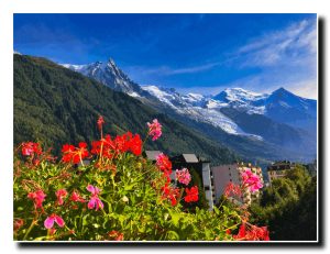
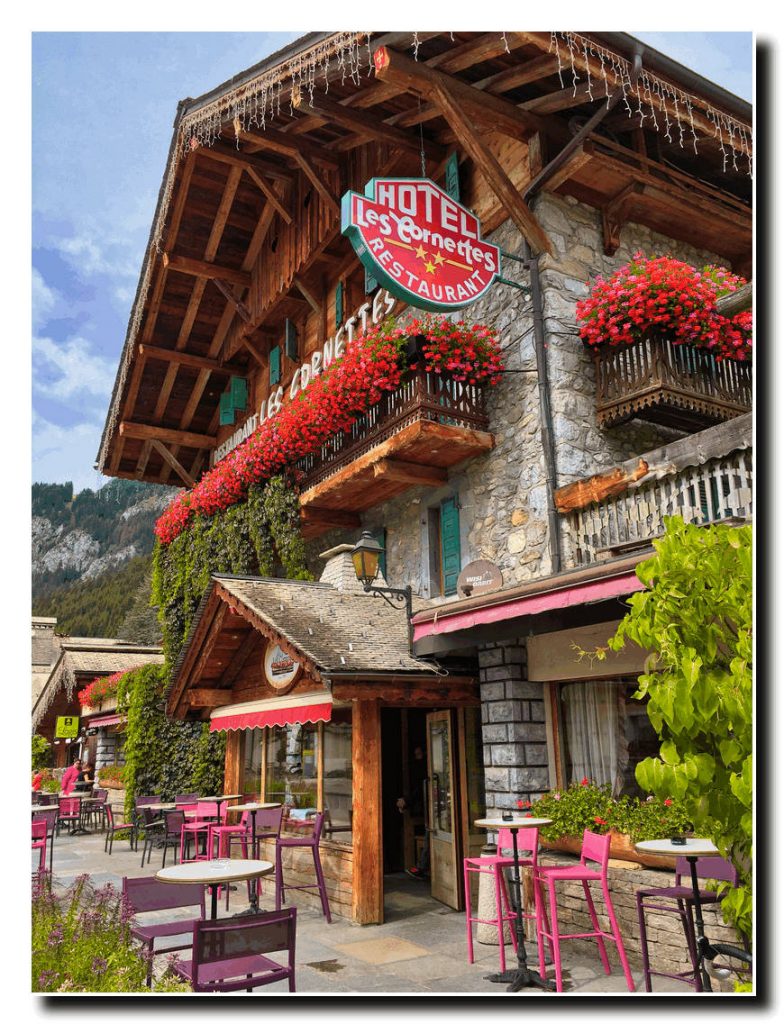
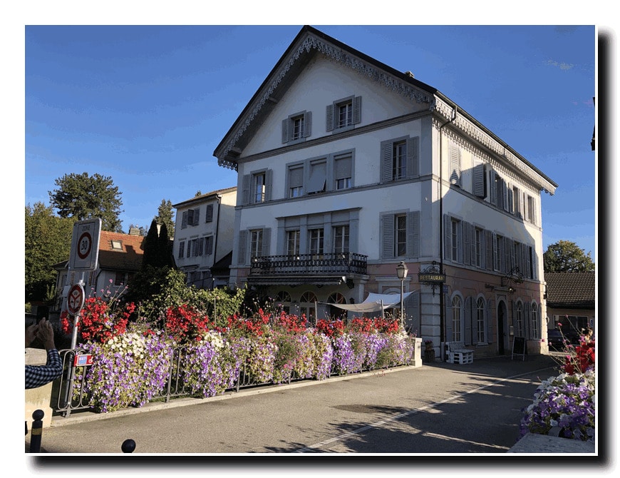
September 9, Katherine and I flew to Geneva, Switzerland and then took a train to Montreux. After overnighting in Montreux, we took a short train ride to Monthey, Switzerland then hired a car to take us to our starting point at the Hotel Les Cornettes in La Chapelle D’ Abondance (3350’), France.
I should add that in 2014 we had hiked over the mountains from Lake Geneva to our starting point, but persistent rain storms prevented us from going any further.
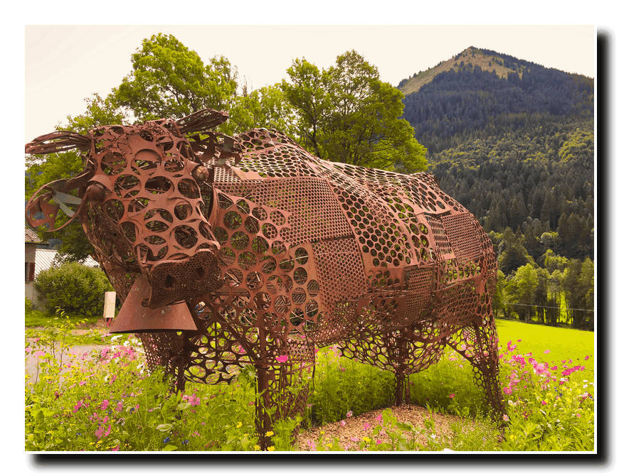
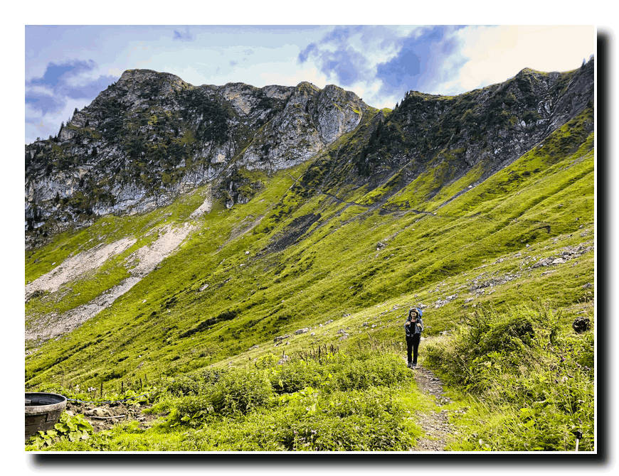
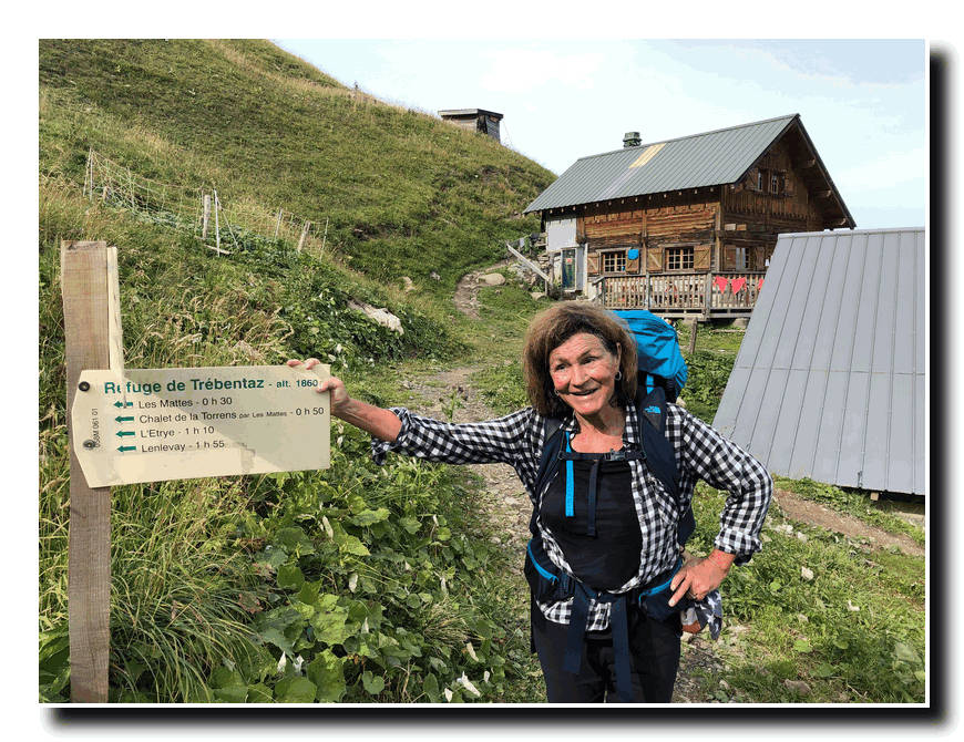
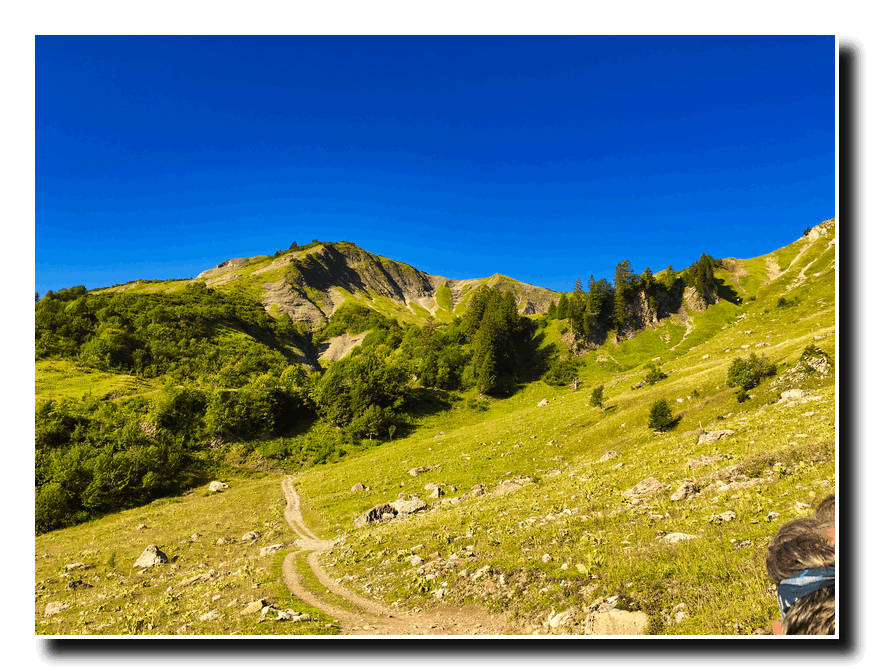
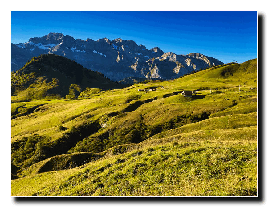
We started along the road out of town and, in about a half mile turned right at the metal cow sculpture and headed up into the foothills toward the Trebentaz Hut (6102’).
After about three hours, we arrived at this scenic perch high above the Valle D’ Abondance.
The next morning, we set off from the hut and climbed up and over a pass (7000’), and then down and across a beautiful plateau to the Col de Bassachaux (5833’).
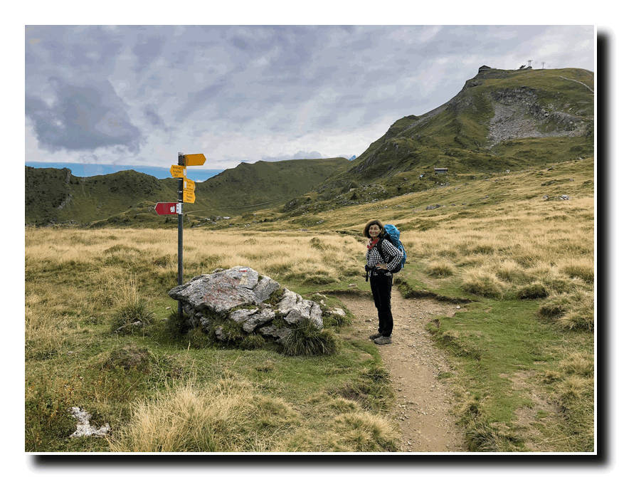
After a short rest we continued across rolling terrain to the Col de Chesey (6535’) on the Swiss border.
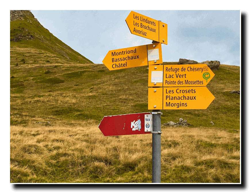
From here it was a short hike to our stopping point at the Refuge de Chesery (6470’) where we spent the night.
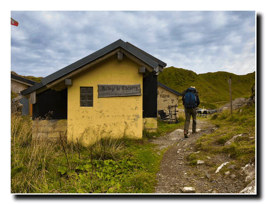
On the 12th, we left Chesery and hiked up to the Portes de I’Hiver (6877’)…
…and then down once again Chaux Palin (6047’) and across a long rolling plateau…
…and down to a farmhouse at La Poyat (5347’). Here the trail rose sharply up to the Col de Croux…
…and into France once again. Then it was down again to 4660’ before climbing up to the Col de la Golise (5453’). From the Col de la Golise it was a long downhill trudge to the village of Samoens (2306’). This strenuous day had a total ascent of 2200’ and a total descent of 6365”!
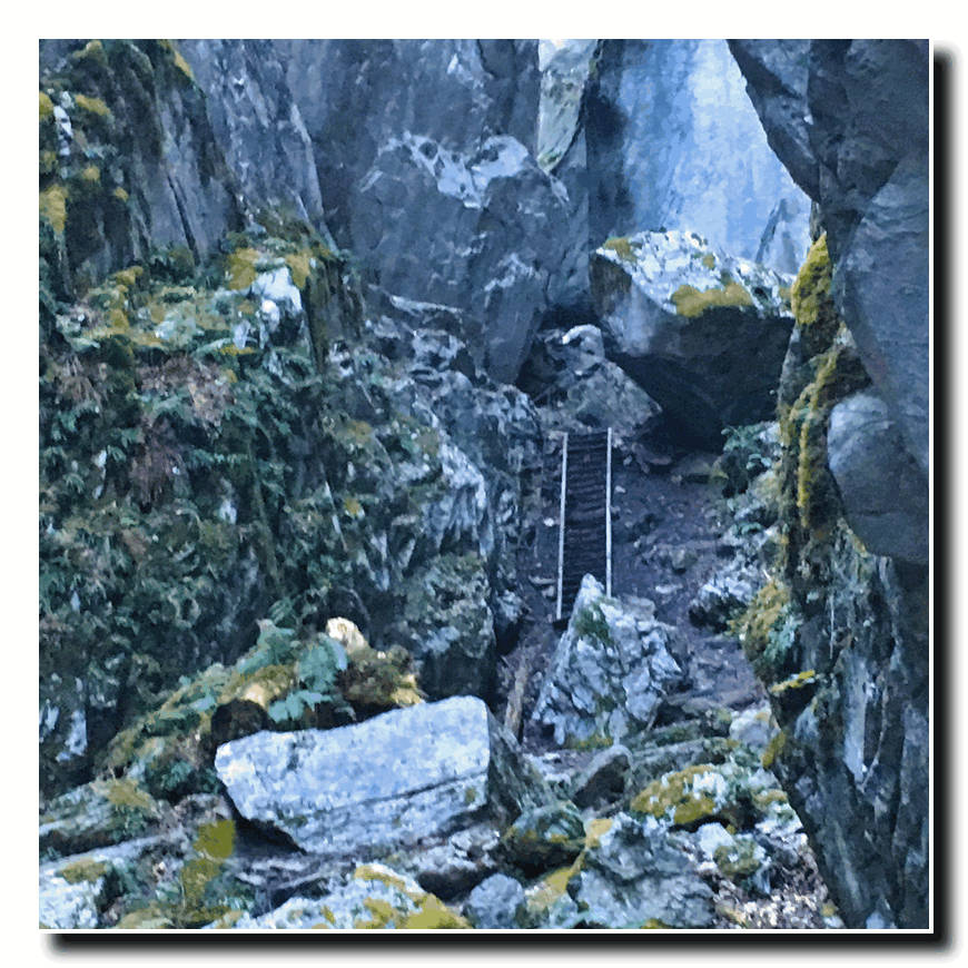
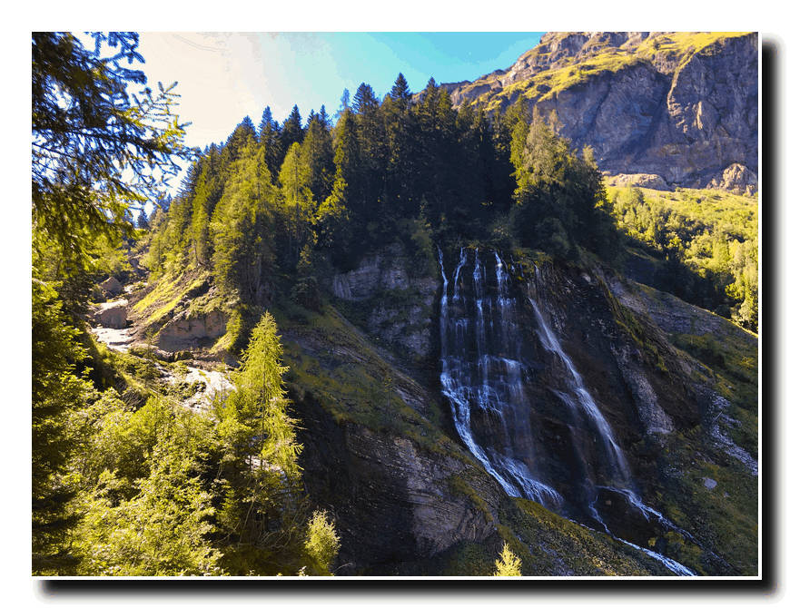
We set out from Samoens at eight the next morning (the 13th) and hiked along a river for about two miles before beginning our hike back up once again. We hiked up the Gorges des Tines, using ladders to climb past several cliffs…
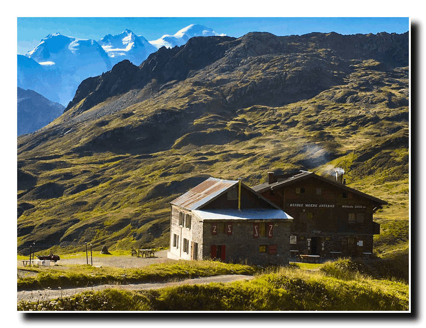
…and on upward to the Chalet de Lignon (3870’) where we had lunch before continuing on up the Collet d’Anterne (5892’).
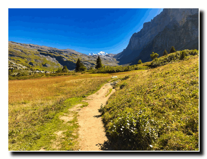
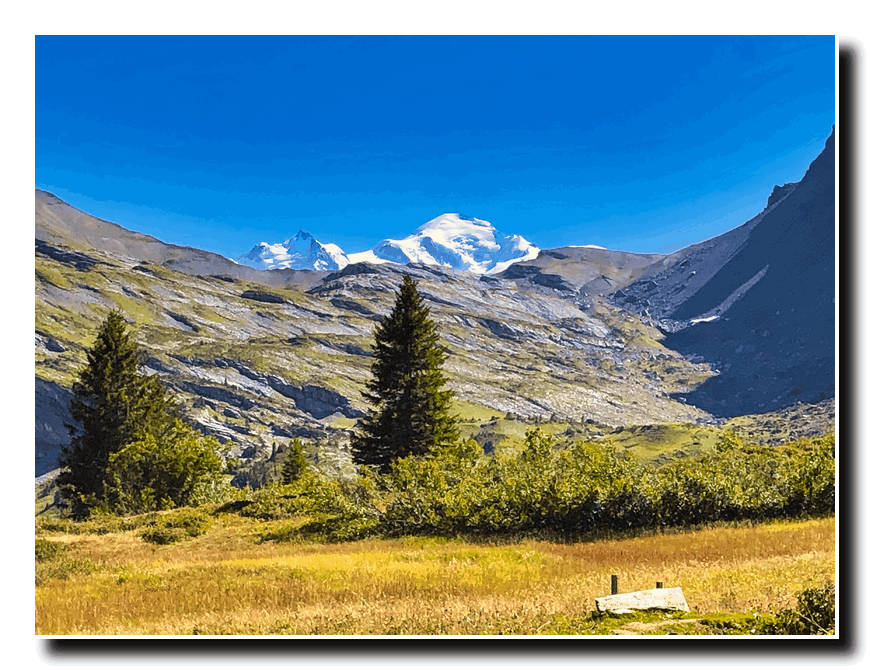
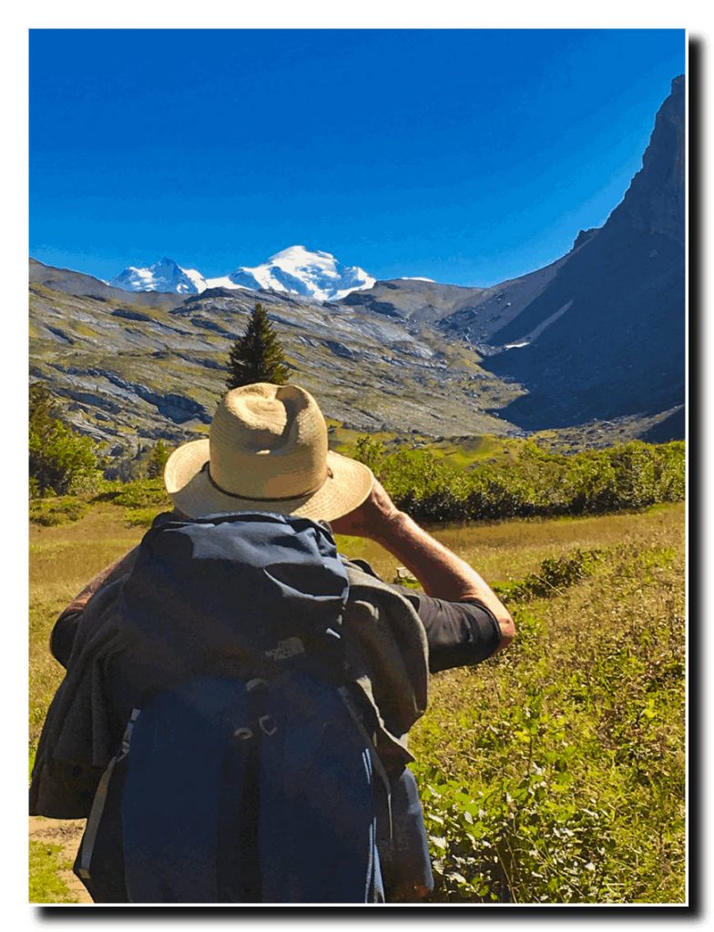
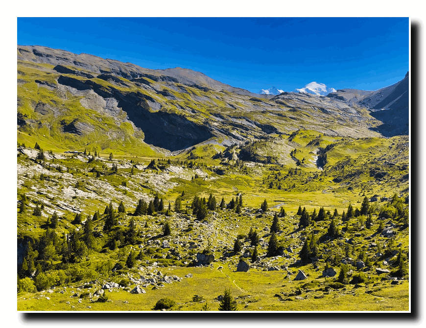
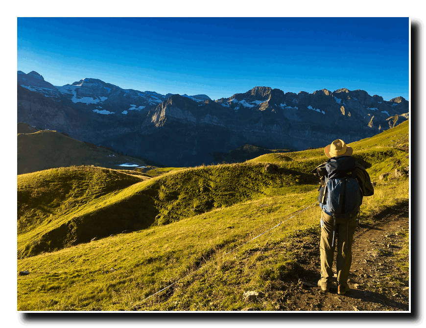
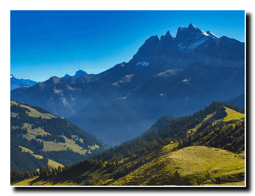
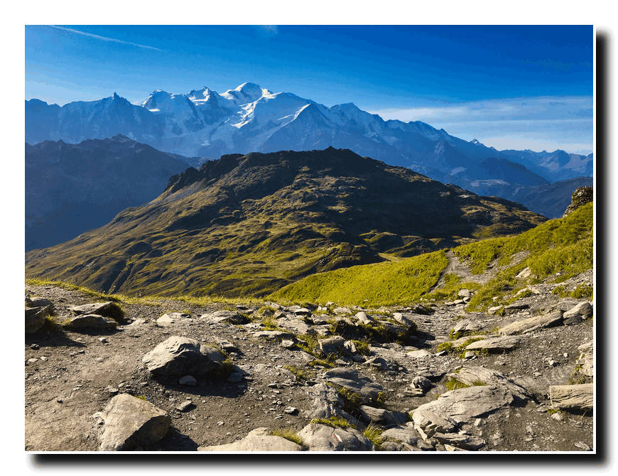
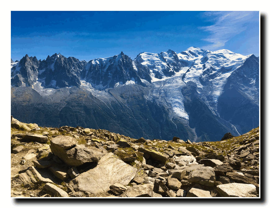
Here we were treated to our first view of Mont Blanc. We had reached another high plateau and it was but a short walk to our stopping point for the night the Chalets d’Anterne (5932’).
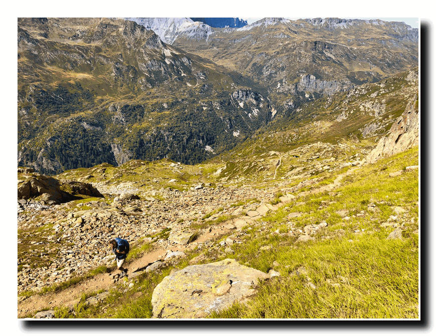
On the 14th we continued on and hiked up to the Lac d’Anterne (6750’) and then up to the Col d’Anterne (7405’), a 5100’ ascent from Samoens.
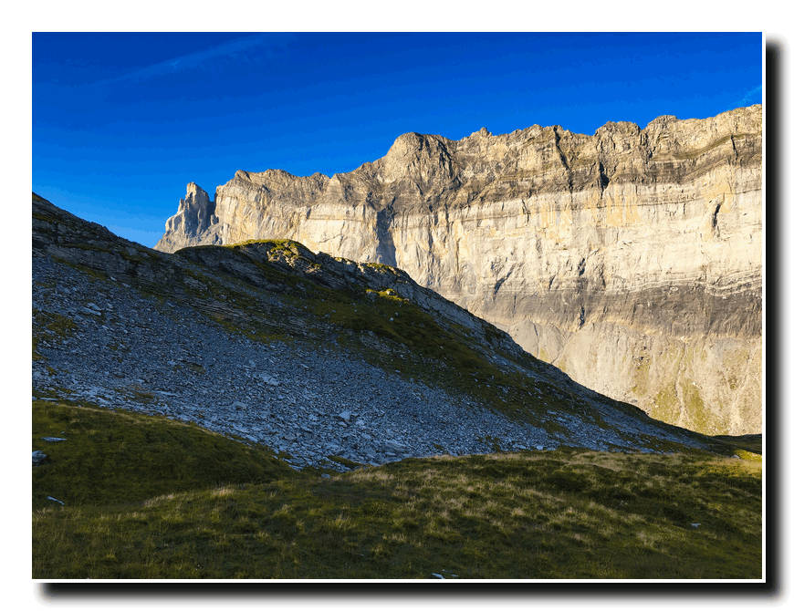
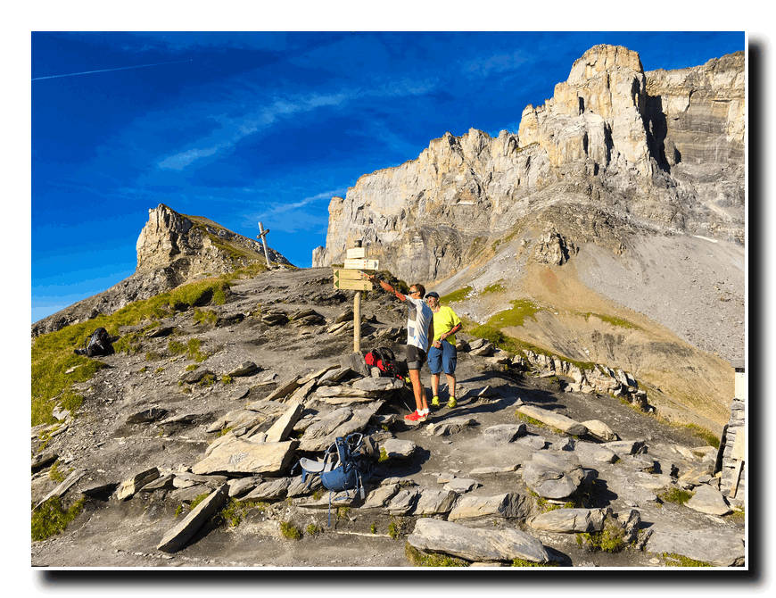
Then it was down again to the Pont d’Arleve (5240’, a bridge across a small river at the bottom of the valley. From here it was a three hour slog up a mountainside to the Col du Brevent (7769’). What a view!
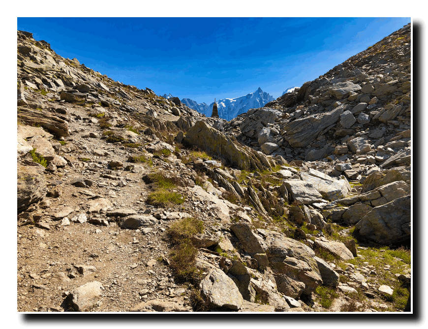
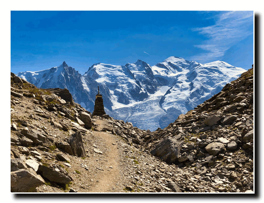
The entire Chamonix Valley lay before us. After a short rest we headed on up the Le Brevent (8284’).
Here we intersected the trail we had taken during circuit of Mount Blanc in 2010. After resting on top of Le Brevent we took the tram down to Chamonix and spent the night before heading north to the St. Maurice sur Moselle.

Hike Between St. Maurice sur Moselle, France and
Porrentruy, Switzerland
September 15: After a good night’s rest and some great French cuisine in Chamonix, Katherine and I set off for St. Maurice Moselle, the endpoint of our hike through the Moselle River Valley, about 150 miles north of Lausanne. We traveled by bus from Chamonix back to Geneva, where we caught a train to the beautiful town of Strasbourg, France where we spent the night. The next morning, we traveled by train to Nancy, France and then to the small town of Remiremont, France.
September 17th, we left Remiremont and traveled by bus to our starting point at St. Maurice sur Moselle.
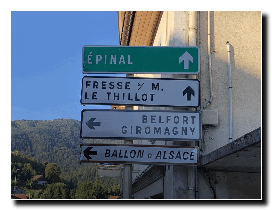
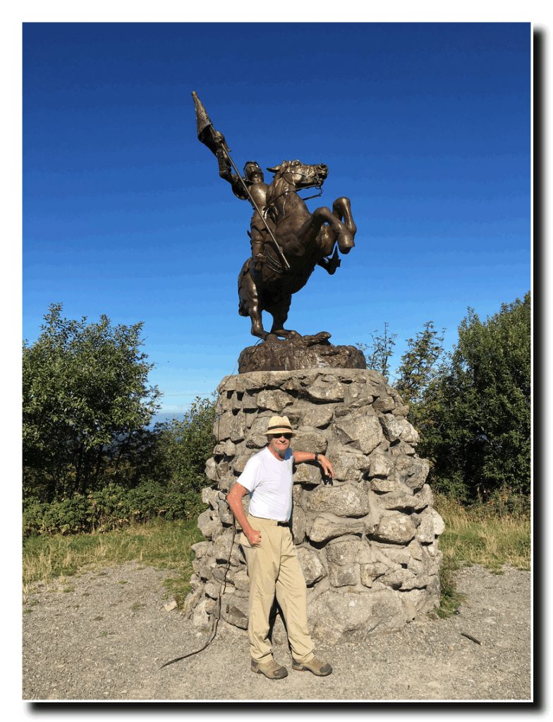
We hiked up a trail which climbed from the Moselle River Valley up to the summit of the Ballon d’Alsace. We took a short rest here and admired the great Bronze Statue of Joan d’ Arc.
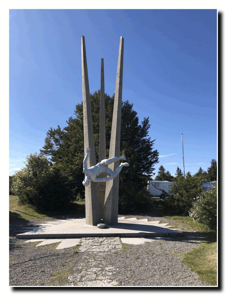
From here we hiked a short distance down the road to a statue commemorating the lives of soldiers tasked with disarming land mines during World War II.
Then we followed a trail on down through the forest and along the La Savoureuse River to the town of Lepuix and on to the town of Giromgny, France, where we spent the night.
September 18th, we left Girongny and hiked out of town where we picked up the trail through the foothills and down to the village of Bas-Evette. From there, largely on bike paths, we hiked another ten miles into the city of Belfort, France where we spent the night and planned the last leg of our route to Porrentruy.
September 19th, we left Belfort and hiked on country roads and bike paths east to the small town of Delle, France and then took the train to the town of Porrentruy, Switzerland.
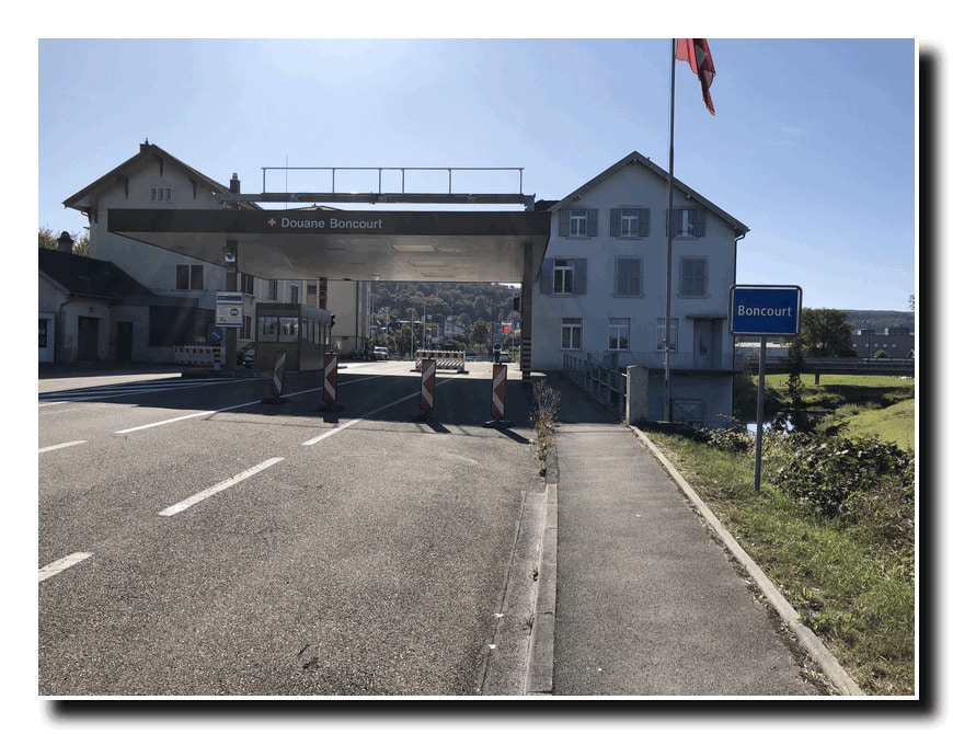
September 20th, we took the train back to Delle and hiked a short distance along the road to the Swiss border at Boncourt, Switzerland in the foothills of the Jara mountains.
From Boncourt we followed trails through foothills and along a river valley to Porrentruy.
We now had only about one hundred miles left to go on the West/East European traverse. Our plan is to complete this last segment of our journey in the Spring of 2020.