July 13 2006 Cabane du Mont Fort to Cabane de Prafleuri
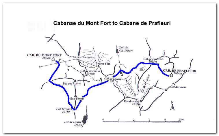
We left Mont Fort at 6:30 in partly cloudy/foggy condition and descended the mound on which the hut sits to a signed junction marked Tour du Val de Bagnes et Combin. From here we followed a series of tracks leading to a trail which made a gradual traversing ascent of the hillside across from the hut. After rounding a prominent corner we lost sight of the hut and continued on the path, southeast toward the Col Termin. After about an hour we reached a scree and boulder section of the trail where we saw several Ibex making their way along the rocky ridge ahead. The trail then gained the ridge and continued around the mountainside on a narrow but easy trail. By 8:00 we had reached the Col Termin (ca. 8685 feet), an obvious saddle in a shoulder of the Bec Termiin which rises to the north. We rested for about a half hour and enjoyed the spectacular view emerging through the now clearing skies.
After descending the east side of the Col Termin and taking in the view of the Lac de Louvie we came to a junction. Here we veered sharply left and took the path marked Col de Louvie and Prafleuri. This path led through a rugged rocky cirque where we again spotted Ibex in the rocks above the trail.
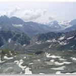
About an hour from the Col Termin we came to another junction where the trail up Mont Fort broke off to the left. We continued straight ahead, crossed another rough boulder field then skirted the left side of a narrow boulder- filled valley and climbed to gain the Col de Louvie (9:40; ca. 9580). Here we were greeted by the barren landscape of the “Grand Desert”, a wilderness of scree, moraine and the dying glacier on the north west side of Rosablanche (10940 feet).
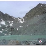
Descending from the col the trail stayed left and we lost altitude quickly as we dropped down into the Grand Desert. We followed the way marks and occasional cairns that led down to the outflow steam at the northern end of a glacial tarn (ca. 9050 feet) below the snout of the Grand Desert Glacier. Once over the stream we made our way north east up across a vast stony wasteland to a line of cairns and way marks which took us past a series of beautiful little tarns which made for a nice rest spot after the trudge across the Grand Desert.
After the tarns we crossed granite slabs, ascending and descending some short cliffs before making one last steep ascend up through rough granite blocks and scattered rocks to the Col de Prafleuri (11:25; ca. 9725 feet). As hard as the hike to the col was we were now nearing our destination. The descent from the col was via a steep and winding path down to a level section beneath the Glacier de Prafleuri. After this the way dropped steeply again into a valley below. About a half hour from the col we reached the Cabane de Prafleuri (12:00; ca. 8605 feet). Once the boots came off and sweaty clothes were replaced with dry ones the beer flowed and all was right with the world.
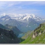
- The Combin de Corbassiere from near the Col Termin
- Ibex near the Col Termin
- Dwight and Byron at the Col Termin.
- Lac Louvie with the Grand Combin Group in the background.
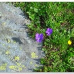
- Wild flowers at the Col Termin.
- Col de Louvie
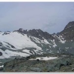
- Looking back toward the Col Louvie from the Grand Desert.
- Looking back toward the Col de Louvie from the tarns near the Col de Prafleuri.
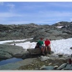
- Dwight and Byron resting beside one of the tarns near the Col de Prafleuri.
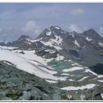
- Rosablanche from the Col de Prafleuri with the Grand Desert to the right.
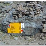
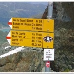
- Signpost at the Col de Prafleuri.
- View from the Col de Prafleuri toward the Cabane Prafleuri.


