


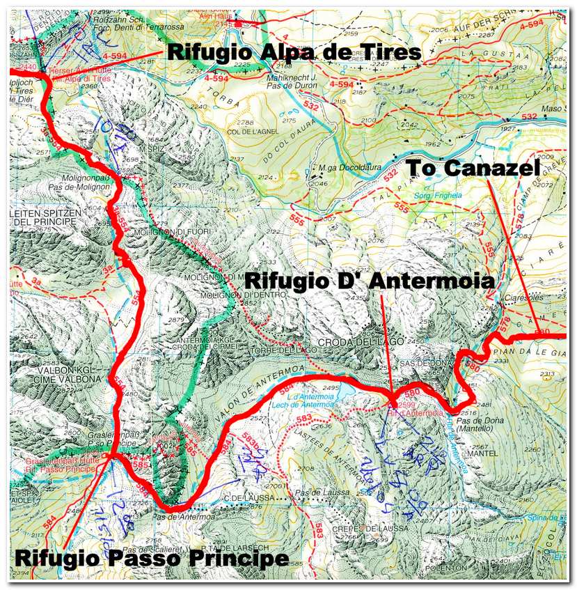
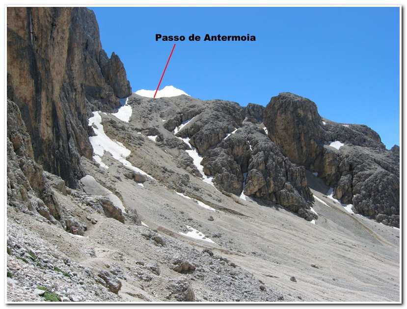
July 5, 2008 CONCLUSION We left the Rifugio Alpa di Tires at 10:20a and began ascending the trail south toward the Passo de Molignon. The trail just above the hutte was across a series of rocky ledges which ascended to a ridge and then through boulder fields to the Passo de Molignon (2596m – 8517ft) (10:50a). From here the trail dropped sharply down scree slopes into a deep rocky cleft and then ascended over snow fields, rock and scree steeply up to the Rifugio Passo Principe (2599m – 8494ft) (12:00 noon). We enjoyed lunch on the deck of the hutte and then started our climb up through the boulders and snow fields to the Passo de Antermoia (2726m – 8944ft) (1:35p). From the pass we descended snow fields and rock into the Valon de Antermoia and followed the stream along the bottom of the valley past the Lago d’ Antermoia to the Rifugio d’ Antermoia (2599m – 8494ft) (2:10p).
-

- Rifugio Alpe di Tires from the trail leading up to the Passo de Molignon
-
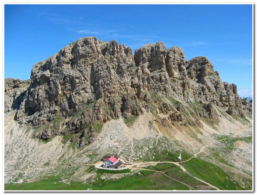
- Rifugio Alpe di Tires from the Passo de Molignon
-
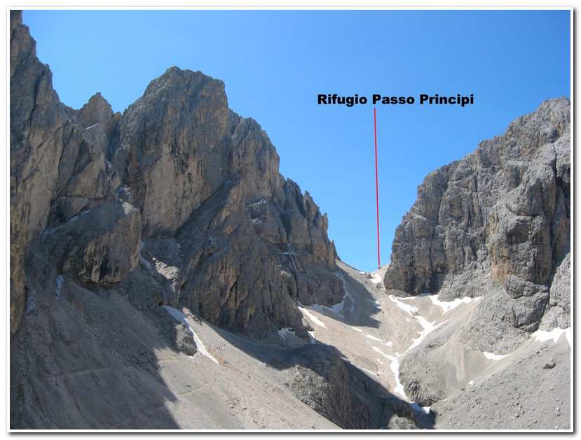
- Looking toward the Rifugio Principi from below the Passo di Molignon
-
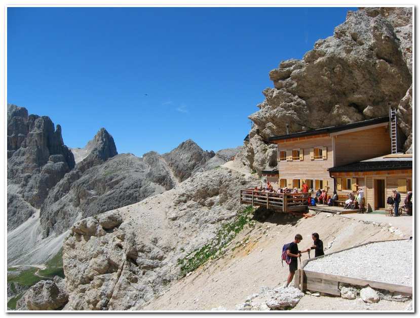
- Rifugio Principi
-
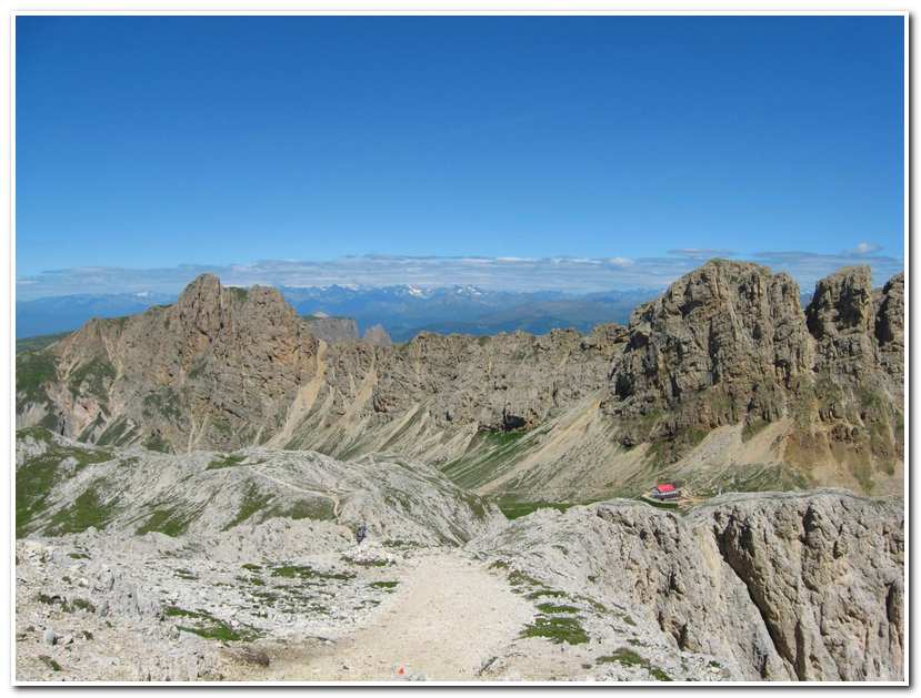
- Route to the Passo de Antermoia
-
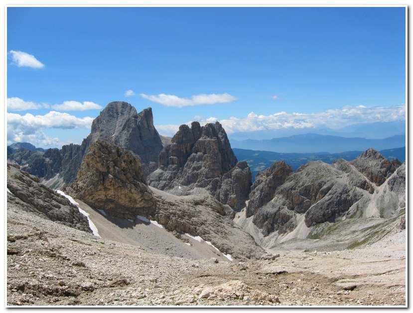
- Cima di Catinaccio and Torri del Vaiolet from Passo de Antermoia
-
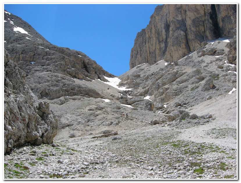
- In the Valon de Antermoia looking back up to the Passo de Antermoia
-
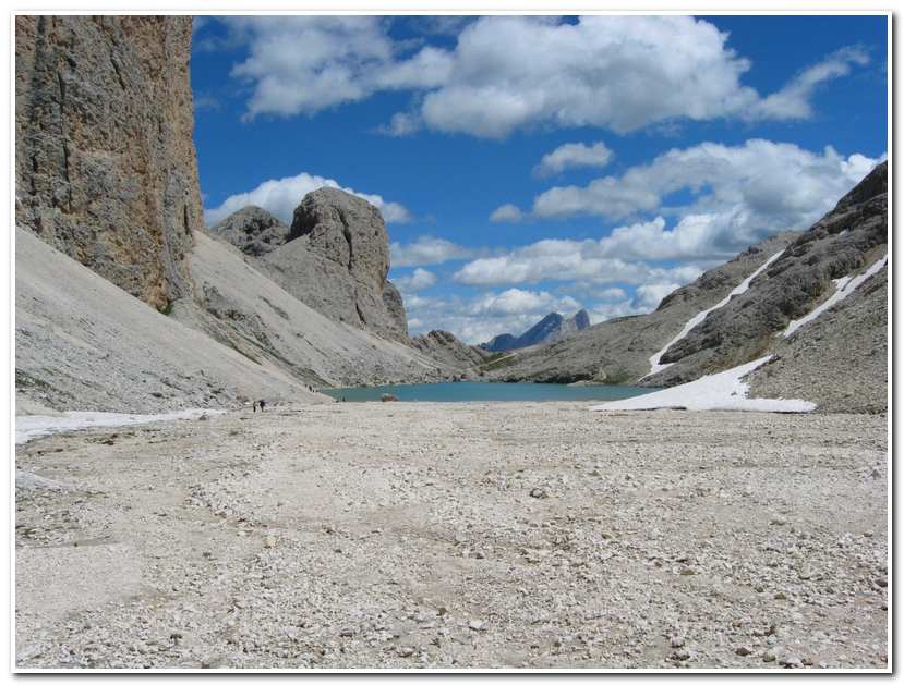
- Lago d’ Antermoia in the Valon de Antermoia
Pages: « Previous 1 2 3 4 5 6 7 8 9 10 11 12 13 14 15 16 17 18 19 20 21 22 23 24 25 26 27 28 29 30 31 32 33 34 35 36 37 38 39 40 41 42 43 44 45 46 47 48 49 50 Next »