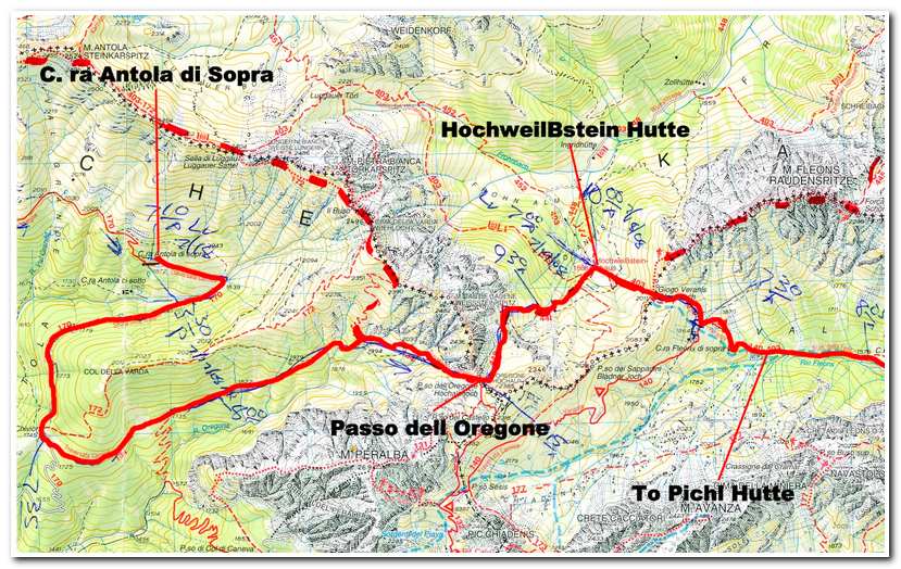
C. ra Antola di Sopra to HochweilBstein Haus
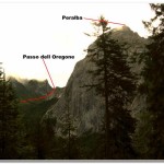
July 18, 2008 I left the hospitality of the C ra Antola di Sopra at 7:10a and hiked down the road for about a mile past the farm at M. ga Chivion (1745m – 5725ft) (7:35a). It was cloudy and threatened rain but all in all it was a good day for hiking and I made good time. From M. ga Chivion the road swung around a grassy bench and headed northeast gradually rising again through forests as it headed toward the mountains. The road finally turned into a trail as I started the ascending traverse (1994m – 6542ft) of the base of the Weisssteinspitz (2482m – 8143ft). After a long traverse along a wet, brushy trail I emerged at the Passo dell Oregone (ca. 2400m – 7874ft) (9:15a). From here I had a good view of Peralba (8839ft), the highest peak in the area. The pass was at the Austrian/Italian border and was marked with a concrete monument. From the pass the trail descended north under the east face of the Weisssteinspitz and across grass and rocky knolls to the HochweilBstein Hutte (1868m – 6128ft) (10:00a).
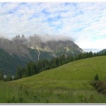
- View up the valley toward the Passo dell Oregone a short distance from the Sopra
- The final traverse over to the Passo dell Oregone.
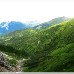
- Looking back toward M. ga Chivion from near Passo dell Oregone
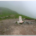
- Border Monument at Passo dell Oregone
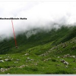
- The HockweilBstein Hutte from Passo dell Oregone
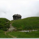
- HochweilBstein Hutte
Pages: « Previous 1 2 3 4 5 6 7 8 9 10 11 12 13 14 15 16 17 18 19 20 21 22 23 24 25 26 27 28 29 30 31 32 33 34 35 36 37 38 39 40 41 42 43 44 45 46 47 48 49 50 Next »


