Totalp Hutte to Lindauer Hutte
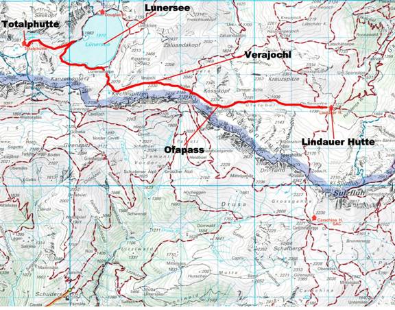
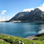
July 25, 2007 Arose at 6:30a the next morning and after a quick breakfast we set out toward the Lindauer Hutte. Al was still feeling pretty punk so we went a little slower than our usual pace. Leaving the hutte we descended the steep rocky trail alongside the supply tram that led to the hutte from below. After about an hour we reached the Lunersee (1970m – 6463ft), a large lake set in the valley below Totalp. Once at Lunersee we traversed around on a track to Lunersee Alpe (Alm) a small farm at the south end of the lake. We then turned onto the RatikonHonenweg Nord (marked 102) climbed gradually alongside a little stream and skirted a marshy basin filled with cotton grass. Eventually the trail ascended to the Verajochl (2330m – 7644ft) (9:50a).
From here we had an impressive view ahead to the great rocky gash of the Schweizer Tor which marks a crossing into Switzerland. From Verajochl we descended grass slopes to the one-time hut near the Schweizer Tor (2137m – 7011ft). The Schweizer Tor was once a Swiss border post, but all that remains is the deserted Customs House. A short way south of the path, a tall yellow sign and a stone obelisk mark the Swiss/Austrian border. From Schweizer Tor we ascended a narrow grassy valley below the Drusenfluh (2827 – 9275ft) and reached Ofapass (2291m – 7516ft) about 40 minutes from Verajochl. Al was feeling pretty tired so we were happy to see the Lindauer Hutte 3 kilometers away and 500m – 1640ft below in the valley beyond. With the hut in sight virtually all the way, the path descended steeply in places, with the Drusenfluh’s rocky presence growing more impressive with each step. Shortly after passing a small farm in the lower valley we wandered past the farm building of Obere Sporaalpe (1739m – 5705ft) and reached the Lindauer Hutte (1744m – 5722ft) (12:15p).
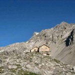
- Leaving the Totalp Hutte
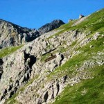
- Supply tram running from Lunersee to Totalp Hutte
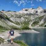
- Al hiking along the edge of the Lunersee
- The Lunersee
- On the trail above Lunersee Alpe
- Looking down from Verajochl toward Schweizer Tor
- Looking east from Ofapass toward the Lindauer Hutte
Pages: « Previous 1 2 3 4 5 6 7 8 9 10 11 12 13 14 15 16 17 18 19 20 21 22 23 24 25 26 27 28 29 30 31 32 33 34 35 36 37 38 39 40 41 42 43 44 45 46 47 48 49 50 Next »


