Tubinger Hutte to Bielerhohe
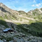
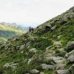
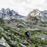
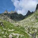
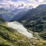
July 29, 2007 Left the Tubinger Hutte 7:40a. The sign outside the hutte pointed toward Bielerhohe and the way was marked with waymarks across a boulder slope. The path soon became more pronounced and slanted across the hillside heading northeast. About 40 minutes after leaving the hut the trail turned a rocky spur into a hanging valley headed by the Hochmaderer (2823m – 9262ft). A few minutes later the path reached an intersection and we continued on the right hand branch with cairns and red paint flashes marking the way higher through the rocky valley. After a few more minutes the trail reached the Hochmaderer Joch (2505m 8219ft) (8:50a). The initial descent was very steep but the slope eased as we came down to a rocky hollow, crossed a stream and worked our way round the right hand hillside and turned a spur to gain a view onto the milky blue waters of the Vermunt reservoir. From here we descended into the bed of the Kromertal crossing several small streams along the way. At a signed junction we turned left and soon crossed the Kromer Bach on a small footbridge and continued across the pastures to Bielerhohe (2036m – 6680ft) (11:10a) and the Piz Buin Hotel.
- Leaving Tubinger Hutte
- Crossing the rocky slope heading toward Hochmaderer Joch
- Nearing the Hochmaderer Joch
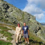
- At the Hochmaderer Joch
- On the descent to Bielerhohe looking back at Hochmaderer Joch
- Traversing around toward Bielerhohe
- The Vermunt Reservoir
- Silvrettsee at Bielerhohe
Pages: « Previous 1 2 3 4 5 6 7 8 9 10 11 12 13 14 15 16 17 18 19 20 21 22 23 24 25 26 27 28 29 30 31 32 33 34 35 36 37 38 39 40 41 42 43 44 45 46 47 48 49 50 Next »


